714 Locust Dr Durham, NC 27703
Eastern Durham NeighborhoodEstimated Value: $236,000 - $253,000
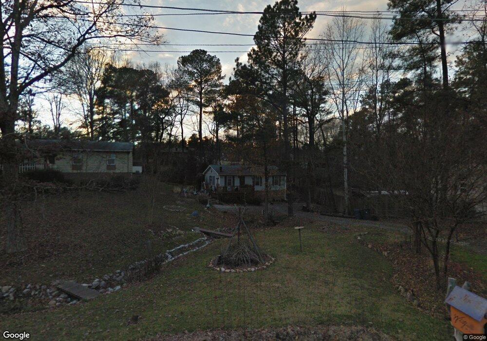
About This Home
This home is located at 714 Locust Dr, Durham, NC 27703 and is currently estimated at $244,928, approximately $222 per square foot. 714 Locust Dr is a home located in Durham County with nearby schools including Bethesda Elementary School, John W Neal Middle School, and Southern School of Energy & Sustainability.
Ownership History
We collect this data history from publicly available records. To have your information removed, we recommend requesting removal directly through your county’s website.
Purchase Details
Home Financials for this Owner
Home Financials are based on the most recent Mortgage that was taken out on this home.Home Values in the Area
Average Home Value in this Area
Purchase History
We collect this data history from publicly available records. To have your information removed, we recommend requesting removal directly through your county’s website.
| Date | Buyer | Sale Price | Title Company |
|---|---|---|---|
| $89,000 | -- |
Mortgage History
We collect this data history from publicly available records. To have your information removed, we recommend requesting removal directly through your county’s website.
| Date | Status | Borrower | Loan Amount |
|---|---|---|---|
| Open | $86,861 |
Tax History
We collect this data history from publicly available records. To have your information removed, we recommend requesting removal directly through your county’s website.
| Year | Tax Paid | Tax Assessment Tax Assessment Total Assessment is a certain percentage of the fair market value that is determined by local assessors to be the total taxable value of land and additions on the property. | Land | Improvement |
|---|---|---|---|---|
| 2025 | $2,299 | $231,910 | $97,500 | $134,410 |
| 2024 | $1,705 | $122,197 | $25,940 | $96,257 |
| 2023 | $1,601 | $122,197 | $25,940 | $96,257 |
| 2022 | $1,564 | $122,197 | $25,940 | $96,257 |
| 2021 | $1,557 | $122,197 | $25,940 | $96,257 |
| 2020 | $1,520 | $122,197 | $25,940 | $96,257 |
| 2019 | $1,520 | $122,197 | $25,940 | $96,257 |
| 2018 | $1,260 | $92,900 | $19,425 | $73,475 |
| 2017 | $1,251 | $92,900 | $19,425 | $73,475 |
| 2016 | $1,209 | $92,900 | $19,425 | $73,475 |
| 2015 | $1,365 | $98,612 | $20,713 | $77,899 |
| 2014 | $1,365 | $98,612 | $20,713 | $77,899 |
Map
- 3311 Nantuckett Ave
- 3120 Gibson Rd
- 426 Walton St
- 509 Walton St
- 404 Lynn Rd
- 13 Intrepid Ct
- 204 Cushman St
- 426 Saint John Dr
- 114 Cushman St
- 3230 Ivey Wood Ln
- 3340 Ivey Wood Ln
- 1121 Kendall Dr
- 222 Ruby Ridge Rd
- 3013 Wedgedale Ave
- 806 Kendall Dr Unit 502
- 518 Farm House Ln
- 1316 Kendall Dr
- 506 Farm House Ln
- 2923 Wedgedale Ave
- 102 Harvest Oaks Ln Unit 38
- 709 Locust Dr
- 700 Locust Dr
- 715 Locust Dr
- 707 Locust Dr
- 706 Locust Dr
- 710 Locust Dr
- 3107 Nantuckett Ave
- 708 Lynn Rd
- 3109 Nantuckett Ave
- 3115 Nantuckett Ave
- 718 Locust Dr
- 3109 Nantucket Ave
- 712 Lynn Rd
- 716 Lynn Rd
- 704 Lynn Rd
- 3103 Nantuckett Ave
- 705 Lindley Dr
- 3119 Nantuckett Ave
- 3119 Nantucket Ave
- 720 Lynn Rd
Ask me questions while you tour the home.