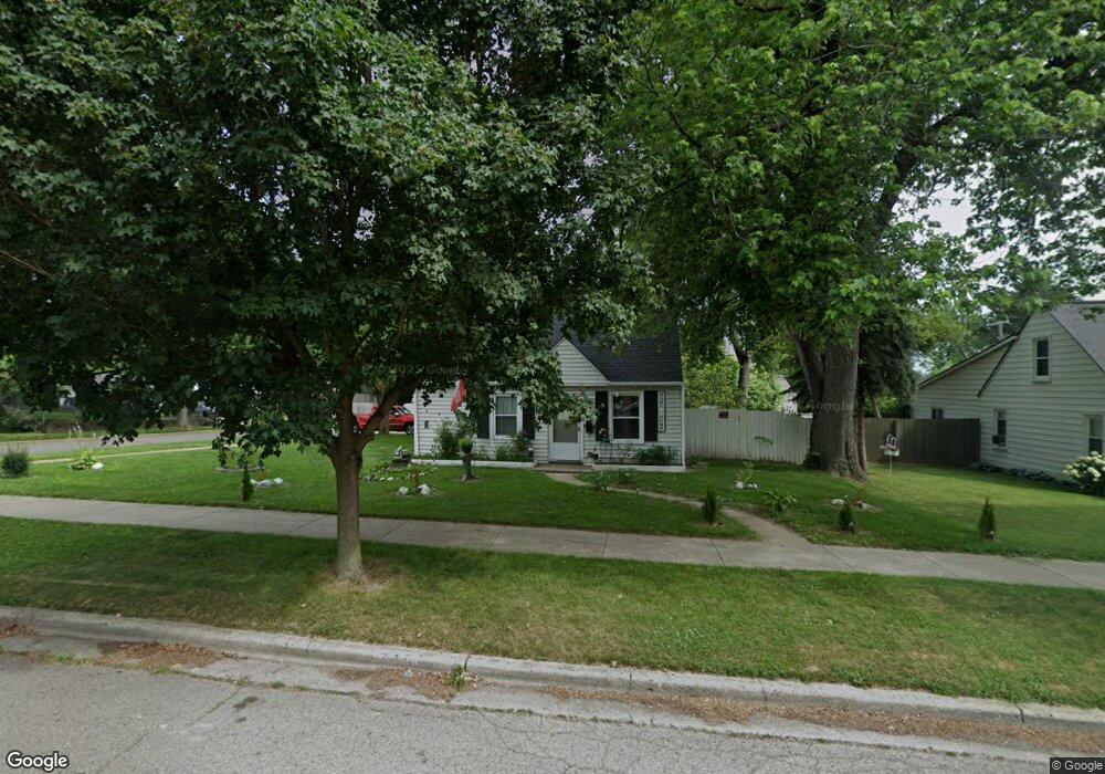
715 3rd Ave Pontiac, MI 48340
Estimated Value: $112,338 - $156,000
3
Beds
1
Bath
900
Sq Ft
$148/Sq Ft
Est. Value
About This Home
This home is located at 715 3rd Ave, Pontiac, MI 48340 and is currently estimated at $132,835, approximately $147 per square foot. 715 3rd Ave is a home located in Oakland County with nearby schools including Owen Elementary School, Pontiac Middle School, and Pontiac High School.
Ownership History
Date
Name
Owned For
Owner Type
Purchase Details
Closed on
Aug 25, 2011
Sold by
Tcs Homes
Bought by
Marrero Lourdes and Soto Lois A Alvarado
Current Estimated Value
Purchase Details
Closed on
Dec 14, 2010
Sold by
Bank Of The West
Bought by
Tcs Homes Llc
Purchase Details
Closed on
Aug 31, 2010
Sold by
Mitchell Michael B and Republic Bank
Bought by
Bank Of The West
Purchase Details
Closed on
Sep 20, 2001
Sold by
Bishop John S
Bought by
Mitchell Michael B
Home Financials for this Owner
Home Financials are based on the most recent Mortgage that was taken out on this home.
Original Mortgage
$87,550
Interest Rate
6.8%
Create a Home Valuation Report for This Property
The Home Valuation Report is an in-depth analysis detailing your home's value as well as a comparison with similar homes in the area
Home Values in the Area
Average Home Value in this Area
Purchase History
| Date | Buyer | Sale Price | Title Company |
|---|---|---|---|
| Marrero Lourdes | -- | None Available | |
| Tcs Homes Llc | $8,600 | Liberty Title | |
| Bank Of The West | $14,400 | None Available | |
| Mitchell Michael B | $85,000 | -- |
Source: Public Records
Mortgage History
| Date | Status | Borrower | Loan Amount |
|---|---|---|---|
| Previous Owner | Mitchell Michael B | $87,550 |
Source: Public Records
Tax History
| Year | Tax Paid | Tax Assessment Tax Assessment Total Assessment is a certain percentage of the fair market value that is determined by local assessors to be the total taxable value of land and additions on the property. | Land | Improvement |
|---|---|---|---|---|
| 2025 | $580 | $36,600 | $0 | $0 |
| 2024 | $485 | $32,400 | $0 | $0 |
| 2023 | $463 | $29,550 | $0 | $0 |
| 2022 | $513 | $25,940 | $0 | $0 |
| 2021 | $843 | $22,440 | $0 | $0 |
| 2020 | $421 | $20,490 | $0 | $0 |
| 2019 | $474 | $18,060 | $0 | $0 |
| 2018 | $447 | $16,010 | $0 | $0 |
| 2017 | $427 | $15,380 | $0 | $0 |
| 2016 | $455 | $13,750 | $0 | $0 |
| 2015 | -- | $12,060 | $0 | $0 |
| 2014 | -- | $10,630 | $0 | $0 |
| 2011 | -- | $16,850 | $0 | $0 |
Source: Public Records
Map
Nearby Homes
- 691 3rd Ave
- 165 Lot 220 S Opdyke Rd
- 635 E Tennyson Ave
- 630 Peacock Ave
- 671 E Mansfield Ave
- 643 E Mansfield Ave
- 647 E Mansfield Ave
- 630 E Madison Ave
- 590 E Madison Ave
- 1388 Constance Dr Unit 96
- 858 Amanda Ln Unit 107
- 1340 Galloway Cir Unit 51
- 1289 Galloway Cir Unit 151
- 1302 Timbercreek Trail Unit 141
- 804 Brandon Ave Unit 72
- 1338 Field Run Unit 128
- 576 Markle Ave
- 1502 Pebble Beach Dr Unit 8
- 529 E Walton Blvd
- 1484 Joslyn Ave
Your Personal Tour Guide
Ask me questions while you tour the home.