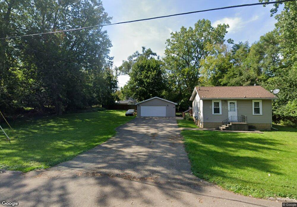
716 20th St Jackson, MI 49203
Estimated Value: $105,842 - $154,000
1
Bed
1
Bath
550
Sq Ft
$225/Sq Ft
Est. Value
About This Home
This home is located at 716 20th St, Jackson, MI 49203 and is currently estimated at $123,961, approximately $225 per square foot. 716 20th St is a home located in Jackson County with nearby schools including Hunt Elementary School, Middle School at Parkside, and Jackson High School.
Ownership History
Date
Name
Owned For
Owner Type
Purchase Details
Closed on
May 25, 2017
Sold by
Dullock Daniel J
Bought by
Dullock Properties Iii Llc
Current Estimated Value
Purchase Details
Closed on
Aug 20, 2009
Sold by
Dullock Daniel J and Dullock Heather K
Bought by
Dullock Daniel J and The Daniel J Dullock Trust
Purchase Details
Closed on
Apr 8, 1999
Sold by
Mcdonald Larry A and Mcdonald Reta L
Bought by
Dullock Daniel
Home Financials for this Owner
Home Financials are based on the most recent Mortgage that was taken out on this home.
Original Mortgage
$30,000
Interest Rate
7.1%
Mortgage Type
Purchase Money Mortgage
Create a Home Valuation Report for This Property
The Home Valuation Report is an in-depth analysis detailing your home's value as well as a comparison with similar homes in the area
Home Values in the Area
Average Home Value in this Area
Purchase History
| Date | Buyer | Sale Price | Title Company |
|---|---|---|---|
| Dullock Properties Iii Llc | -- | Attorney | |
| Dullock Daniel J | -- | None Available | |
| Dullock Daniel | $15,000 | -- |
Source: Public Records
Mortgage History
| Date | Status | Borrower | Loan Amount |
|---|---|---|---|
| Previous Owner | Dullock Daniel | $30,000 |
Source: Public Records
Tax History
| Year | Tax Paid | Tax Assessment Tax Assessment Total Assessment is a certain percentage of the fair market value that is determined by local assessors to be the total taxable value of land and additions on the property. | Land | Improvement |
|---|---|---|---|---|
| 2025 | $1,576 | $63,900 | $0 | $0 |
| 2024 | $12 | $54,800 | $0 | $0 |
| 2023 | $1,136 | $46,700 | $0 | $0 |
| 2022 | $1,438 | $41,200 | $0 | $0 |
| 2021 | $1,412 | $39,900 | $0 | $0 |
| 2020 | $1,392 | $36,300 | $0 | $0 |
| 2019 | $1,375 | $32,900 | $0 | $0 |
| 2018 | $1,334 | $30,700 | $0 | $0 |
| 2017 | $1,146 | $29,500 | $0 | $0 |
| 2016 | $895 | $28,100 | $28,100 | $0 |
| 2015 | $1,201 | $26,500 | $26,500 | $0 |
| 2014 | $1,201 | $25,600 | $25,600 | $0 |
| 2013 | -- | $25,600 | $25,600 | $0 |
Source: Public Records
Map
Nearby Homes
- 723 22nd St
- 528 18th St
- 1905 W Franklin St
- 2126 W Franklin St
- 310 21st St
- 326 22nd St
- 1127 S Brown St
- 1109 W Franklin St
- 1005 S Wisner St
- 204 S Wisner St
- 108 N Thompson St
- 829 Thorntree Blvd
- 109 N Thompson St
- 837 Thorntree Blvd
- 121 N Thompson St
- 1000 W Washington Ave
- 221 N Higby St
- 1001 W Michigan Ave
- 113 S Webster St
- 912 Halstead Blvd
Your Personal Tour Guide
Ask me questions while you tour the home.