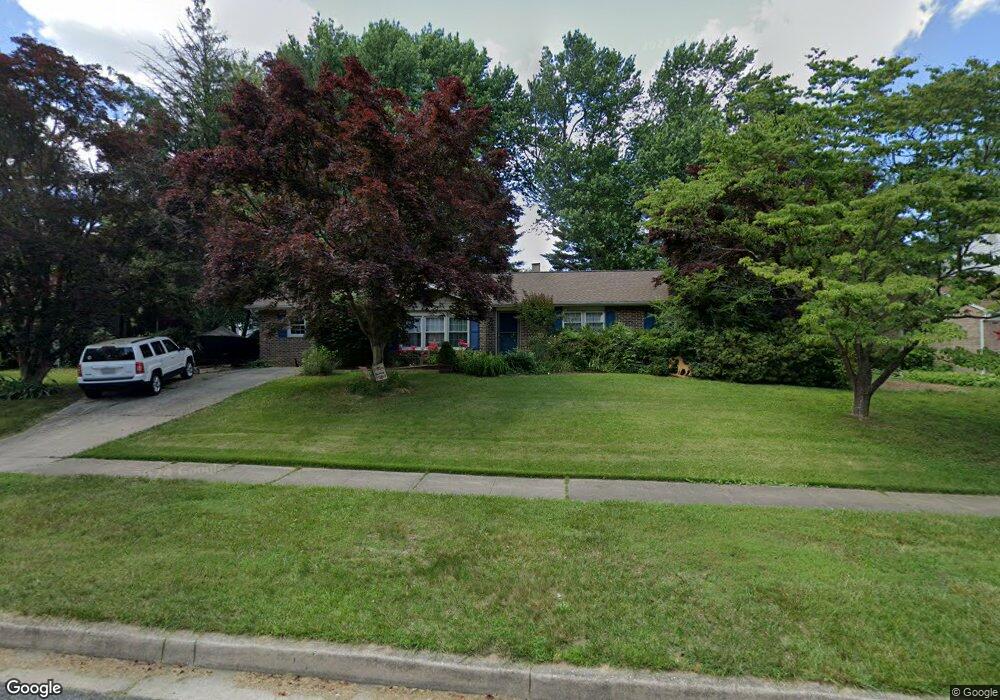
716 E Macphail Rd Bel Air, MD 21014
Estimated Value: $321,000 - $466,000
Studio
2
Baths
1,638
Sq Ft
$249/Sq Ft
Est. Value
About This Home
This home is located at 716 E Macphail Rd, Bel Air, MD 21014 and is currently estimated at $408,223, approximately $249 per square foot. 716 E Macphail Rd is a home located in Harford County with nearby schools including Homestead-Wakefield Elementary School, Bel Air Middle School, and Bel Air High School.
Ownership History
Date
Name
Owned For
Owner Type
Purchase Details
Closed on
Jun 26, 1998
Sold by
Brinegar Randy L
Bought by
Ligon Patton L and Ligon Suzanne E
Current Estimated Value
Purchase Details
Closed on
Nov 12, 1991
Sold by
Nevin Raymond J and Nevin Wf
Bought by
Brinegar Randy L
Home Financials for this Owner
Home Financials are based on the most recent Mortgage that was taken out on this home.
Original Mortgage
$123,573
Interest Rate
8.76%
Create a Home Valuation Report for This Property
The Home Valuation Report is an in-depth analysis detailing your home's value as well as a comparison with similar homes in the area
Home Values in the Area
Average Home Value in this Area
Purchase History
| Date | Buyer | Sale Price | Title Company |
|---|---|---|---|
| Ligon Patton L | $132,000 | -- | |
| Brinegar Randy L | $123,000 | -- |
Source: Public Records
Mortgage History
| Date | Status | Borrower | Loan Amount |
|---|---|---|---|
| Previous Owner | Brinegar Randy L | $123,573 | |
| Closed | Ligon Patton L | -- |
Source: Public Records
Tax History
| Year | Tax Paid | Tax Assessment Tax Assessment Total Assessment is a certain percentage of the fair market value that is determined by local assessors to be the total taxable value of land and additions on the property. | Land | Improvement |
|---|---|---|---|---|
| 2025 | $2,525 | $277,000 | $100,900 | $176,100 |
| 2024 | $2,525 | $264,833 | $0 | $0 |
| 2023 | $2,409 | $252,667 | $0 | $0 |
| 2022 | $2,293 | $240,500 | $100,900 | $139,600 |
| 2021 | $2,419 | $240,500 | $100,900 | $139,600 |
| 2020 | $2,419 | $240,500 | $100,900 | $139,600 |
| 2019 | $2,499 | $248,500 | $116,400 | $132,100 |
| 2018 | $2,461 | $246,867 | $0 | $0 |
| 2017 | $2,444 | $248,500 | $0 | $0 |
| 2016 | -- | $243,600 | $0 | $0 |
| 2015 | $2,158 | $234,400 | $0 | $0 |
| 2014 | $2,158 | $225,200 | $0 | $0 |
Source: Public Records
Map
Nearby Homes
- 932 Grosvenor Dr
- 904 Chase Ct
- 520 Woodbury Way
- 6 Three Acre Ln
- 1312 Scottsdale Dr Unit Q
- 902 Macphail Woods Crossing Unit 2D
- 901 Macphail Woods Crossing Unit 3A
- 1311 Scottsdale Dr Unit A
- 1302 Scottsdale Dr Unit G
- 1302 Scottsdale Dr Unit K
- 925 Richwood Rd
- 1603 Martha Ct Unit 101
- 1818 Selvin Dr Unit 203
- 1309 Sheridan Place Unit 99
- 1310 Sheridan Place Unit 208
- 1310 Sheridan Place Unit 36 (306)
- 102 Brandywine Place
- 1307 Sheridan Place Unit 80
- 201 Victory Ln
- 1406 Bonnett Place Unit 210
- 718 E Macphail Rd
- 714 E Macphail Rd
- 721 Bedford Rd
- 723 Bedford Rd
- 712 E Macphail Rd
- 719 Bedford Rd
- 802 Jackson Blvd
- 804 Jackson Blvd
- 6 Hawley Ct
- 8 Hawley Ct
- 800 Jackson Blvd
- 717 Bedford Rd
- 710 E Macphail Rd
- 727 Claridge Ct
- 4 Hawley Ct
- 725 Claridge Ct
- 723 Claridge Ct
- 721 Claridge Ct
- 715 Bedford Rd
- 722 Bedford Rd
Your Personal Tour Guide
Ask me questions while you tour the home.