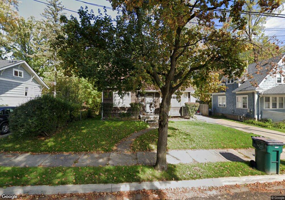
716 Poxson Ave Lansing, MI 48910
Greencroft Park NeighborhoodEstimated Value: $109,000 - $116,000
Studio
--
Bath
914
Sq Ft
$122/Sq Ft
Est. Value
About This Home
This home is located at 716 Poxson Ave, Lansing, MI 48910 and is currently estimated at $111,154, approximately $121 per square foot. 716 Poxson Ave is a home located in Ingham County with nearby schools including Averill Elementary School, Attwood School, and J.W. Sexton High School.
Ownership History
Date
Name
Owned For
Owner Type
Purchase Details
Closed on
Nov 30, 1999
Sold by
Household Finance Corp Iii
Bought by
Baley Michael D and Smith Belinda L
Current Estimated Value
Home Financials for this Owner
Home Financials are based on the most recent Mortgage that was taken out on this home.
Original Mortgage
$62,720
Outstanding Balance
$19,649
Interest Rate
7.87%
Mortgage Type
FHA
Estimated Equity
$91,505
Purchase Details
Closed on
Aug 21, 1998
Bought by
Household Finance Corporation
Create a Home Valuation Report for This Property
The Home Valuation Report is an in-depth analysis detailing your home's value as well as a comparison with similar homes in the area
Home Values in the Area
Average Home Value in this Area
Purchase History
| Date | Buyer | Sale Price | Title Company |
|---|---|---|---|
| Baley Michael D | $63,000 | -- | |
| Household Finance Corporation | $62,300 | -- |
Source: Public Records
Mortgage History
| Date | Status | Borrower | Loan Amount |
|---|---|---|---|
| Open | Baley Michael D | $62,720 |
Source: Public Records
Tax History
| Year | Tax Paid | Tax Assessment Tax Assessment Total Assessment is a certain percentage of the fair market value that is determined by local assessors to be the total taxable value of land and additions on the property. | Land | Improvement |
|---|---|---|---|---|
| 2025 | $2,156 | $48,500 | $6,100 | $42,400 |
| 2024 | $17 | $42,800 | $6,100 | $36,700 |
| 2023 | $2,023 | $37,600 | $6,100 | $31,500 |
| 2022 | $1,827 | $35,500 | $7,700 | $27,800 |
| 2021 | $1,789 | $32,400 | $6,500 | $25,900 |
| 2020 | $1,777 | $29,200 | $6,500 | $22,700 |
| 2019 | $1,705 | $27,300 | $6,500 | $20,800 |
| 2018 | $1,615 | $28,000 | $6,500 | $21,500 |
| 2017 | $1,546 | $28,000 | $6,500 | $21,500 |
| 2016 | $1,478 | $27,600 | $6,500 | $21,100 |
| 2015 | $1,478 | $26,400 | $13,039 | $13,361 |
| 2014 | $1,478 | $25,700 | $13,039 | $12,661 |
Source: Public Records
Map
Nearby Homes
- 712 Lenore Ave
- 815 Woodbine Ave
- 612 W Mount Hope Ave
- 1917 Osband Ave
- 815 Smith Ave
- 717 Smith Ave
- 1033 Kelsey Ave
- 1723 Osband Ave
- 1116 George St
- 1824 Davis Ave
- 1312 W Mount Hope Ave
- 1315 Goodrich St
- 1414 Cooper Ave
- 0 Rickle
- 1027 Britten Ave
- 1319 Pico Ave
- 1516 Berkeley Dr
- 1309 Hammond St
- 211 W Barnes Ave
- 1120 Alsdorf St
- 712 Poxson Ave
- 2119 S Rundle Ave
- 2109 S Rundle Ave
- 719 Poxson Ave
- 708 Poxson Ave
- 2114 Beal Ave
- 713 Cooper Ave
- 713 Poxson Ave
- 2205 S Rundle Ave
- 2105 S Rundle Ave
- 2106 Beal Ave
- 2204 Beal Ave
- 2200 Beal Ave
- 2104 Beal Ave
- 2209 S Rundle Ave
- 2100 Beal Ave
- 2208 Beal Ave
- 2211 S Rundle Ave
- 2118 S Rundle Ave
- 2114 S Rundle Ave
Your Personal Tour Guide
Ask me questions while you tour the home.