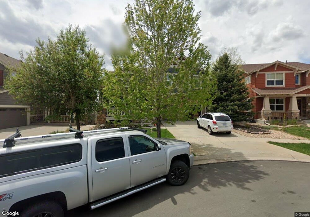
7161 S Langdale Ct Aurora, CO 80016
Tallyn's Reach NeighborhoodEstimated Value: $723,000 - $759,000
4
Beds
3
Baths
4,327
Sq Ft
$170/Sq Ft
Est. Value
About This Home
This home is located at 7161 S Langdale Ct, Aurora, CO 80016 and is currently estimated at $737,710, approximately $170 per square foot. 7161 S Langdale Ct is a home located in Arapahoe County with nearby schools including Black Forest Hills Elementary School, Fox Ridge Middle School, and Cherokee Trail High School.
Ownership History
Date
Name
Owned For
Owner Type
Purchase Details
Closed on
Aug 30, 2013
Sold by
Klinkel Dawn and Lewis Bradford A
Bought by
Klinkel Dawn
Current Estimated Value
Home Financials for this Owner
Home Financials are based on the most recent Mortgage that was taken out on this home.
Original Mortgage
$397,400
Outstanding Balance
$293,638
Interest Rate
4.46%
Mortgage Type
New Conventional
Estimated Equity
$444,072
Purchase Details
Closed on
Sep 5, 2012
Sold by
High Pointe Inc
Bought by
The Overlook At Tallyns Reach Llc
Purchase Details
Closed on
Jan 30, 2006
Sold by
Engle Homes Colorado
Bought by
Lewis Bradford A and Klinkel Dawn
Home Financials for this Owner
Home Financials are based on the most recent Mortgage that was taken out on this home.
Original Mortgage
$344,784
Interest Rate
6.24%
Mortgage Type
Fannie Mae Freddie Mac
Create a Home Valuation Report for This Property
The Home Valuation Report is an in-depth analysis detailing your home's value as well as a comparison with similar homes in the area
Home Values in the Area
Average Home Value in this Area
Purchase History
We collect this data history from publicly available records. To have your information removed, we recommend requesting removal directly through your county’s website.
| Date | Buyer | Sale Price | Title Company |
|---|---|---|---|
| Klinkel Dawn | -- | Homestead Title & Escrow | |
| The Overlook At Tallyns Reach Llc | -- | None Available | |
| High Pointe Inc | -- | None Available | |
| Lewis Bradford A | $431,000 | None Available |
Source: Public Records
Mortgage History
We collect this data history from publicly available records. To have your information removed, we recommend requesting removal directly through your county’s website.
| Date | Status | Borrower | Loan Amount |
|---|---|---|---|
| Open | Klinkel Dawn | $397,400 | |
| Previous Owner | Lewis Bradford A | $344,784 |
Source: Public Records
Tax History
| Year | Tax Paid | Tax Assessment Tax Assessment Total Assessment is a certain percentage of the fair market value that is determined by local assessors to be the total taxable value of land and additions on the property. | Land | Improvement |
|---|---|---|---|---|
| 2025 | $5,242 | $46,919 | -- | -- |
| 2024 | $4,753 | $44,716 | -- | -- |
| 2023 | $4,753 | $44,716 | $0 | $0 |
| 2022 | $4,344 | $36,835 | $0 | $0 |
| 2021 | $4,352 | $36,835 | $0 | $0 |
| 2020 | $4,764 | $37,574 | $0 | $0 |
| 2019 | $4,668 | $37,574 | $0 | $0 |
| 2018 | $4,463 | $34,776 | $0 | $0 |
| 2017 | $4,425 | $34,776 | $0 | $0 |
| 2016 | $4,217 | $33,225 | $0 | $0 |
| 2015 | $4,092 | $33,225 | $0 | $0 |
| 2014 | $3,592 | $27,072 | $0 | $0 |
| 2013 | -- | $27,730 | $0 | $0 |
Source: Public Records
Map
Nearby Homes
- 25481 E Ottawa Dr
- 7243 S Kellerman Way
- 25295 E Park Crescent Dr
- 25583 E Frost Place
- 25341 E Ottawa Dr
- 7243 S Millbrook Ct Unit E
- 7289 S Millbrook Ct
- 25338 E Costilla Place
- 25980 E Davies Dr
- 25061 E Indore Place
- 25150 E Ottawa Dr
- 2132 S Irvington Ct
- 26070 E Davies Dr
- 26009 E Frost Cir
- 7465 S Jackson Gap Way
- 25021 E Indore Place
- 7151 S Oak Hill Cir
- 24684 E Quarto Place
- 1 Forest Rim
- 26285 E Frost Place
- 7171 S Langdale Ct
- 7151 S Langdale Ct
- 25251 E Indore Dr
- 25241 E Indore Dr
- 25261 E Indore Dr
- 7181 S Langdale Ct
- 25271 E Indore Dr
- 25231 E Indore Dr
- 7150 S Langdale Ct
- 7160 S Langdale Ct
- 25281 E Indore Dr
- 25221 E Indore Dr
- 7170 S Langdale Ct
- 25291 E Indore Dr
- 7180 S Langdale Ct
- 25211 E Indore Dr
- 7190 S Langdale Ct
- 25232 E Indore Dr
- 25242 E Indore Dr
- 25222 E Indore Dr
Your Personal Tour Guide
Ask me questions while you tour the home.