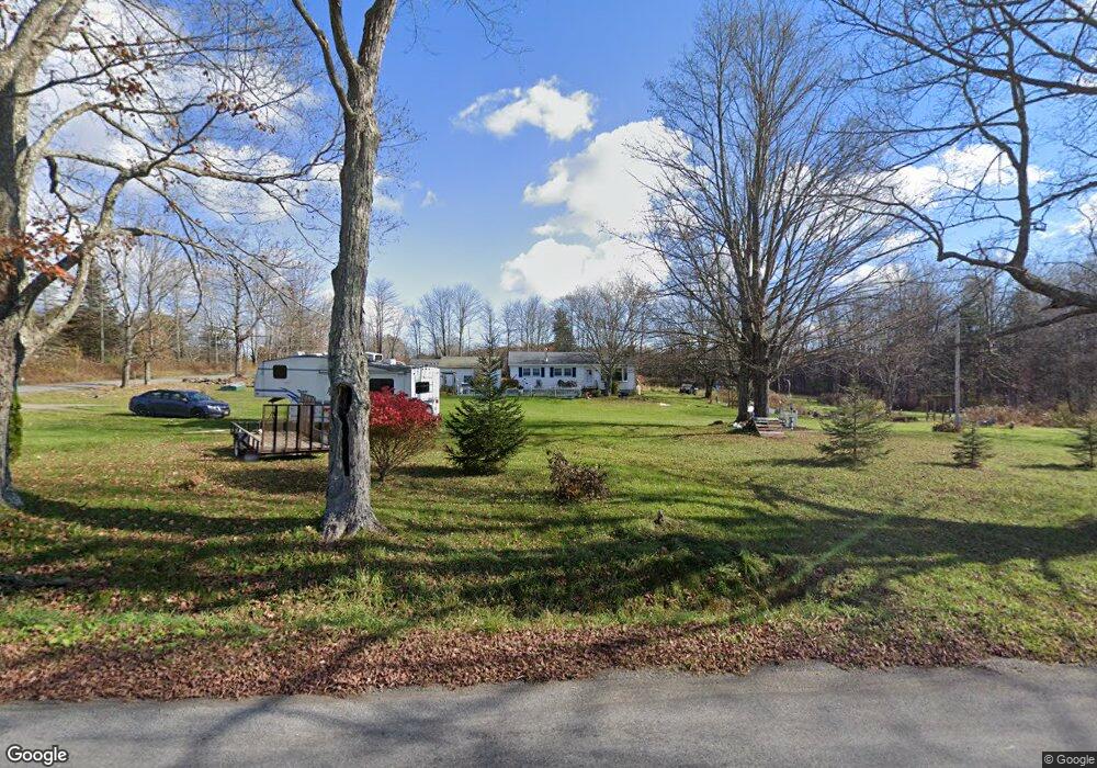
718 Sapbush Rd Chenango Forks, NY 13746
Estimated Value: $125,000 - $212,000
2
Beds
2
Baths
1,232
Sq Ft
$140/Sq Ft
Est. Value
About This Home
This home is located at 718 Sapbush Rd, Chenango Forks, NY 13746 and is currently estimated at $172,163, approximately $139 per square foot. 718 Sapbush Rd is a home located in Broome County with nearby schools including Chenango Forks Elementary School, Chenango Forks Middle School, and Chenango Forks High School.
Ownership History
Date
Name
Owned For
Owner Type
Purchase Details
Closed on
Sep 29, 2005
Sold by
Brown Gregory
Bought by
Lindow David
Current Estimated Value
Home Financials for this Owner
Home Financials are based on the most recent Mortgage that was taken out on this home.
Original Mortgage
$58,045
Interest Rate
6%
Mortgage Type
Adjustable Rate Mortgage/ARM
Purchase Details
Closed on
Jun 3, 2005
Sold by
Brown
Bought by
Brown Gregory
Create a Home Valuation Report for This Property
The Home Valuation Report is an in-depth analysis detailing your home's value as well as a comparison with similar homes in the area
Purchase History
| Date | Buyer | Sale Price | Title Company |
|---|---|---|---|
| Lindow David | $63,000 | Eric Gartenman | |
| Brown Gregory | $18,333 | Albert B Kukol |
Source: Public Records
Mortgage History
| Date | Status | Borrower | Loan Amount |
|---|---|---|---|
| Closed | Lindow David | $58,045 |
Source: Public Records
Tax History
| Year | Tax Paid | Tax Assessment Tax Assessment Total Assessment is a certain percentage of the fair market value that is determined by local assessors to be the total taxable value of land and additions on the property. | Land | Improvement |
|---|---|---|---|---|
| 2025 | $3,836 | $105,000 | $31,600 | $73,400 |
| 2024 | $3,836 | $105,000 | $31,600 | $73,400 |
| 2023 | $3,744 | $105,000 | $31,600 | $73,400 |
| 2022 | $3,653 | $105,000 | $31,600 | $73,400 |
| 2021 | $3,677 | $105,000 | $31,600 | $73,400 |
| 2020 | $3,081 | $105,000 | $31,600 | $73,400 |
| 2019 | $0 | $105,000 | $31,600 | $73,400 |
| 2018 | $3,028 | $105,000 | $31,600 | $73,400 |
| 2017 | $2,853 | $105,000 | $31,600 | $73,400 |
| 2016 | $3,018 | $105,000 | $31,600 | $73,400 |
| 2015 | -- | $105,000 | $31,600 | $73,400 |
| 2014 | -- | $105,000 | $31,600 | $73,400 |
Source: Public Records
Map
Nearby Homes
- L20.2 Indian Brook Rd
- 20 English Hill Rd
- 330 Indian Brook Rd
- 313 South St
- 159 Laurel Rd
- 446 Conklin Hill Rd
- 163 Ott Rd
- 277 Ticknor Brook Rd
- 12 Hinsdale Rd
- 7 Grace Dr
- 16 Birdsall St
- 43-45 Genesee St
- 18 Monell St
- 115 Iona Ln
- 759 Hotchkiss Rd
- 138 McBerney Rd
- 140 Round Pond Rd
- 402 Round Pond Rd Unit TN10
- 115 County Road 3
- 1321 Hyde St
- 20 Sweetland Hill Rd
- 45 Sweetland Hill Rd
- 761 Sapbush Rd
- 784 Sapbush Rd
- 46 Sweetland Hill Rd
- 65 Sweetland Hill Rd
- 769 Sapbush Rd
- 806 Sapbush Rd
- 818 Sapbush Rd
- 809 Sapbush Rd
- 646 Sapbush Rd
- 130 Vosburg Rd
- 765 Sapbush Rd
- 639 Sapbush Rd
- 847 Sapbush Rd
- 620 Sapbush Rd
- 856 Sapbush Rd
- 172 Vosburg Rd
- 597 Sapbush Rd
- 602 Sapbush Rd
Your Personal Tour Guide
Ask me questions while you tour the home.