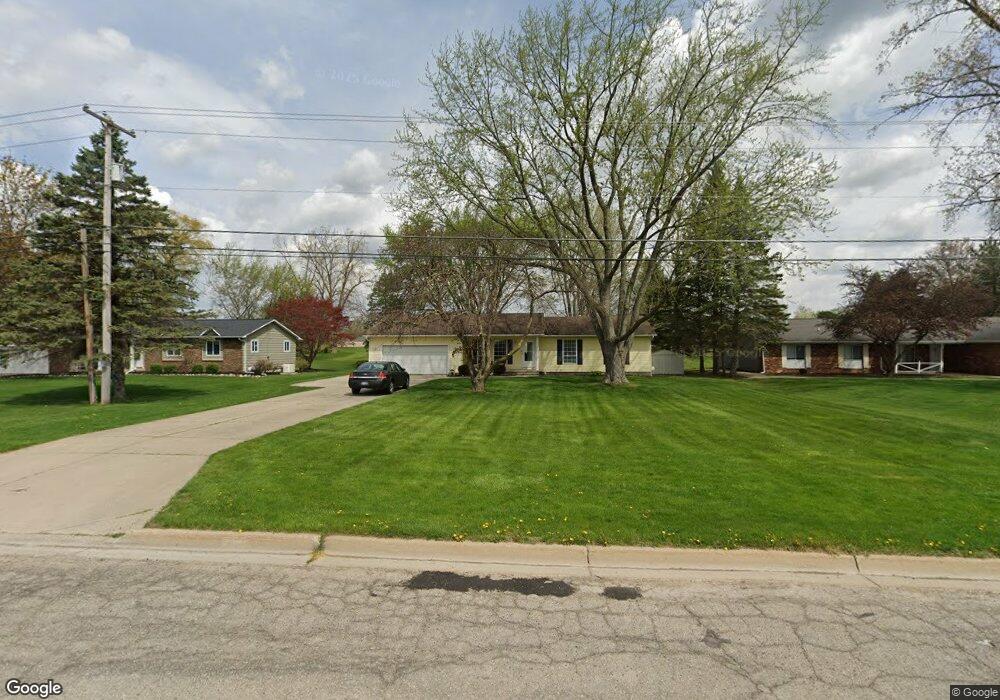
719 E Rolston Rd Linden, MI 48451
Estimated Value: $272,226 - $335,000
3
Beds
2
Baths
1,518
Sq Ft
$203/Sq Ft
Est. Value
About This Home
This home is located at 719 E Rolston Rd, Linden, MI 48451 and is currently estimated at $308,057, approximately $202 per square foot. 719 E Rolston Rd is a home located in Genesee County with nearby schools including Linden Elementary School, Linden Middle School, and Linden High School.
Ownership History
Date
Name
Owned For
Owner Type
Purchase Details
Closed on
Jan 31, 2003
Sold by
Harrington Rebecca A
Bought by
Briggs Michael J
Current Estimated Value
Home Financials for this Owner
Home Financials are based on the most recent Mortgage that was taken out on this home.
Original Mortgage
$166,345
Outstanding Balance
$71,223
Interest Rate
6.07%
Mortgage Type
VA
Estimated Equity
$236,834
Create a Home Valuation Report for This Property
The Home Valuation Report is an in-depth analysis detailing your home's value as well as a comparison with similar homes in the area
Home Values in the Area
Average Home Value in this Area
Purchase History
| Date | Buyer | Sale Price | Title Company |
|---|---|---|---|
| Briggs Michael J | $161,500 | Lawyers Title | |
| Harrington Rebecca A | $99,000 | Lawyers Title |
Source: Public Records
Mortgage History
| Date | Status | Borrower | Loan Amount |
|---|---|---|---|
| Open | Briggs Michael J | $166,345 |
Source: Public Records
Tax History
| Year | Tax Paid | Tax Assessment Tax Assessment Total Assessment is a certain percentage of the fair market value that is determined by local assessors to be the total taxable value of land and additions on the property. | Land | Improvement |
|---|---|---|---|---|
| 2025 | $3,188 | $120,800 | $0 | $0 |
| 2024 | $1,889 | $117,500 | $0 | $0 |
| 2023 | $1,929 | $110,700 | $0 | $0 |
| 2022 | $2,913 | $97,600 | $0 | $0 |
| 2021 | $2,536 | $93,900 | $0 | $0 |
| 2020 | $1,757 | $85,400 | $0 | $0 |
| 2019 | $1,758 | $72,600 | $0 | $0 |
| 2018 | $2,354 | $72,600 | $0 | $0 |
| 2017 | $2,282 | $68,400 | $0 | $0 |
| 2016 | $2,294 | $67,100 | $0 | $0 |
| 2015 | $2,267 | $64,700 | $0 | $0 |
| 2012 | -- | $51,807 | $51,807 | $0 |
Source: Public Records
Map
Nearby Homes
- 231 Kathy Cir Unit 43
- 185 Laura Ln Unit 26
- 331 Andrea Ave Unit 63
- 5297 Spring Meadows Way
- 14238 Durant St
- 14016 Tupper Lake Dr
- 4448 Ford Ave
- 4468 Edison Blvd Unit 50
- 14247 Webster Dr
- 4447 Edison Blvd
- 14270 Wright Dr
- 4437 Edison Blvd
- 5259 Championship Dr Unit 43
- 13298 Harborview Dr Unit 50
- 5311 Championship Dr Unit 39
- 5381 Championship Dr
- 5381 Championship Dr Unit 34
- 5353 Championship Dr Unit 36
- 5465 Red Oak Ct Unit 20
- 532 E Broad St
- 715 E Rolston Rd Unit Bldg-Unit
- 715 E Rolston Rd
- 5407 Spring Meadows Way (8)
- 5407 Spring Meadows Way
- 803 E Rolston Rd
- 711 E Rolston Rd
- 809 E Rolston Rd
- 651 Laing Ct
- 3467 E Rolston Rd
- 5061 E Rolston Rd
- 813 E Rolston Rd
- 673 E Rolston Rd
- 806 E Rolston Rd
- 5081 E Rolston Rd
- 808 E Rolston Rd
- 641 Laing Ct
- 1105 Ripley Rd
- 606 E Rolston Rd
- 606 E Rolston Rd
- 816 E Rolston Rd
Your Personal Tour Guide
Ask me questions while you tour the home.