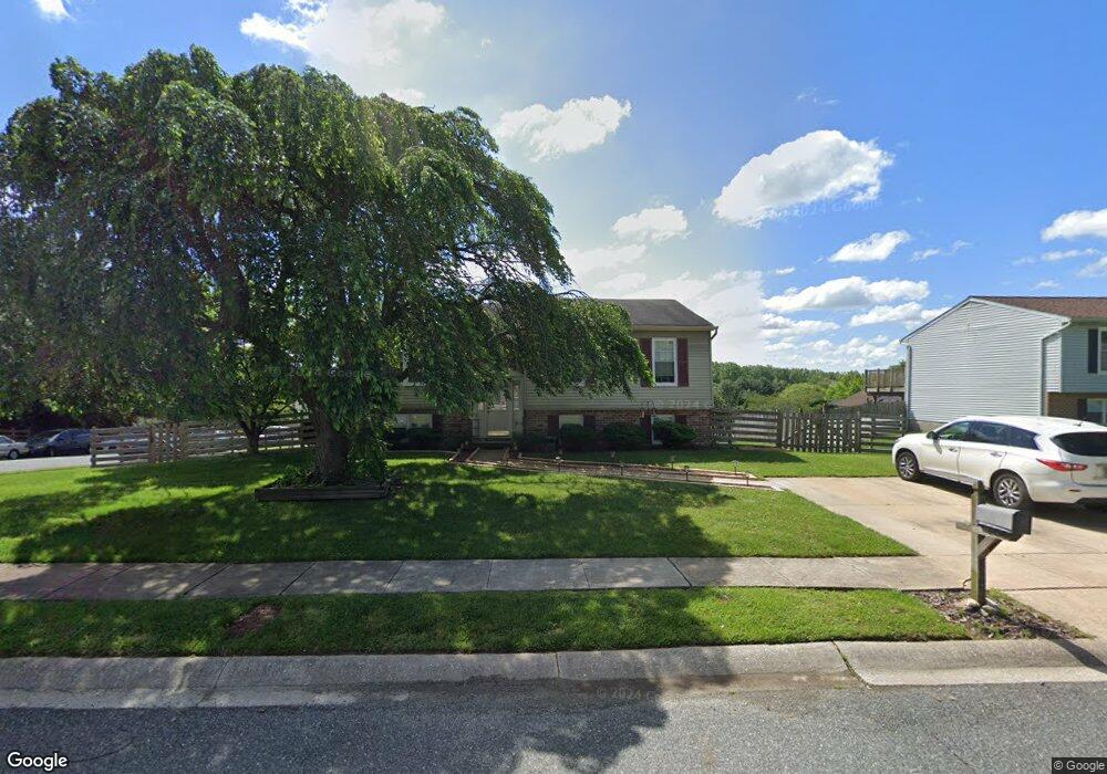
719 High Plain Dr Bel Air, MD 21014
Estimated Value: $305,000 - $433,000
Studio
2
Baths
1,191
Sq Ft
$328/Sq Ft
Est. Value
About This Home
This home is located at 719 High Plain Dr, Bel Air, MD 21014 and is currently estimated at $390,386, approximately $327 per square foot. 719 High Plain Dr is a home located in Harford County with nearby schools including Homestead-Wakefield Elementary School, Bel Air Middle School, and Bel Air High School.
Ownership History
Date
Name
Owned For
Owner Type
Purchase Details
Closed on
Jan 5, 2005
Sold by
Kaczkowski Cesar
Bought by
Kaczkowski Cesary and Kaczkowski Donna M
Current Estimated Value
Home Financials for this Owner
Home Financials are based on the most recent Mortgage that was taken out on this home.
Original Mortgage
$208,000
Outstanding Balance
$104,738
Interest Rate
5.71%
Mortgage Type
New Conventional
Estimated Equity
$285,648
Purchase Details
Closed on
Sep 26, 1996
Sold by
Wilson Lillian Marie
Bought by
Kaczkowski Cesar and Kaczkowski Donna M
Purchase Details
Closed on
Dec 8, 1992
Sold by
Weatherstein Leonard J
Bought by
Wilson Lillian Marie
Create a Home Valuation Report for This Property
The Home Valuation Report is an in-depth analysis detailing your home's value as well as a comparison with similar homes in the area
Home Values in the Area
Average Home Value in this Area
Purchase History
| Date | Buyer | Sale Price | Title Company |
|---|---|---|---|
| Kaczkowski Cesary | -- | -- | |
| Kaczkowski Cesar | $136,000 | -- | |
| Wilson Lillian Marie | $127,000 | -- |
Source: Public Records
Mortgage History
| Date | Status | Borrower | Loan Amount |
|---|---|---|---|
| Open | Kaczkowski Cesary | $208,000 | |
| Closed | Kaczkowski Cesar | -- |
Source: Public Records
Tax History
| Year | Tax Paid | Tax Assessment Tax Assessment Total Assessment is a certain percentage of the fair market value that is determined by local assessors to be the total taxable value of land and additions on the property. | Land | Improvement |
|---|---|---|---|---|
| 2025 | $3,321 | $325,200 | $93,800 | $231,400 |
| 2024 | $3,321 | $304,667 | $0 | $0 |
| 2023 | $3,097 | $284,133 | $0 | $0 |
| 2022 | $2,873 | $263,600 | $93,800 | $169,800 |
| 2021 | $2,986 | $261,167 | $0 | $0 |
| 2020 | $2,986 | $258,733 | $0 | $0 |
| 2019 | $2,958 | $256,300 | $112,300 | $144,000 |
| 2018 | $2,886 | $252,333 | $0 | $0 |
| 2017 | $2,840 | $256,300 | $0 | $0 |
| 2016 | -- | $244,400 | $0 | $0 |
| 2015 | $2,686 | $241,233 | $0 | $0 |
| 2014 | $2,686 | $238,067 | $0 | $0 |
Source: Public Records
Map
Nearby Homes
- 604 Fox Bow Dr
- 619 Ponderosa Dr
- 1049 Sansa Ct
- 637 Iron Gate Rd
- 722 Iron Gate Rd
- 699 Iron Gate Rd
- 116 Hibiscus Ct
- 707 Shady Creek Ct
- 1264 Colonnade Ln
- 731 Shady Creek Ct
- 207 Hillendale Rd
- 614 Camelot Dr
- 1320 Exmoor Ln
- 537 Park Manor Cir
- 1500 S Tollgate Rd
- 606 Squire Ln Unit G
- 606 Squire Ln Unit 606-A
- 601 Thames Way Unit E
- 724 Montravel Ct
- 601 Churchhill Rd Unit 601-E
- 702 Foot Hill Rd
- 721 High Plain Dr
- 717 High Plain Dr
- 704 Foot Hill Rd
- 724 High Plain Dr
- 703 Foot Hill Rd
- 723 High Plain Dr
- 722 High Plain Dr
- 726 High Plain Dr
- 720 High Plain Dr
- 706 Foot Hill Rd
- 734 Danville Cir
- 705 Foot Hill Rd
- 728 High Plain Dr
- 715 High Plain Dr
- 732 Danville Cir
- 707 Foot Hill Rd
- 708 Foot Hill Rd
- 700 Mayton Ct
- 702 Mayton Ct
Your Personal Tour Guide
Ask me questions while you tour the home.