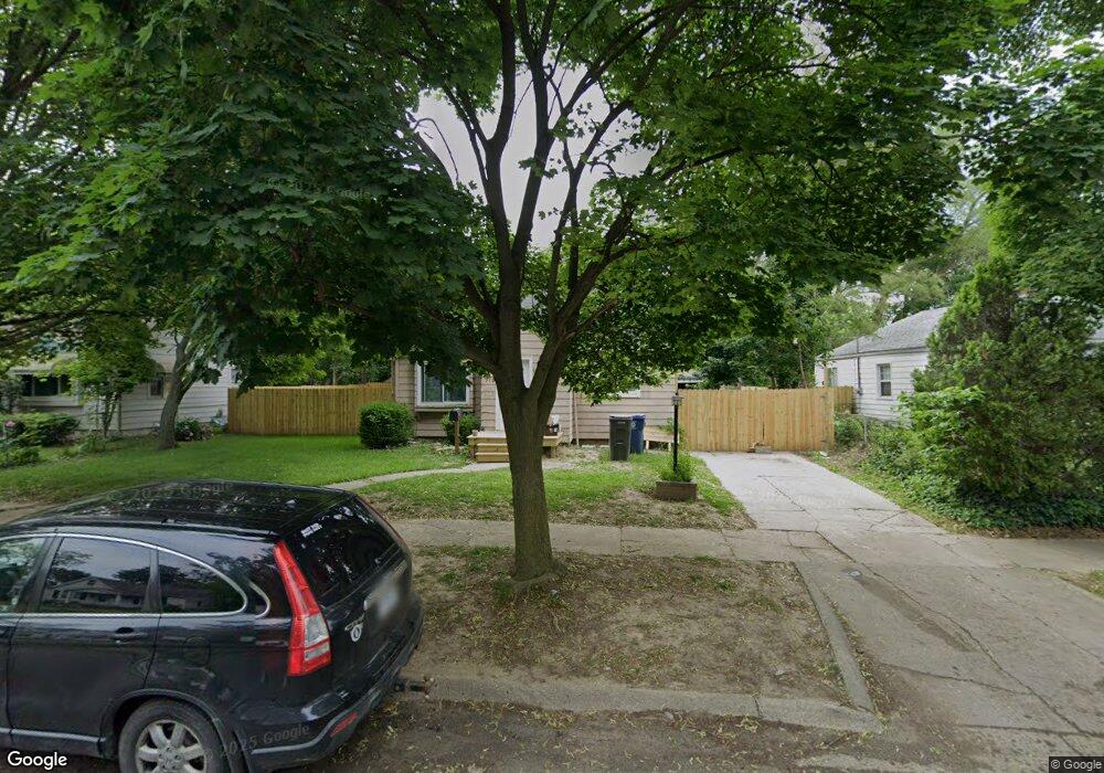
719 Hubbard Ave Flint, MI 48503
Glendale NeighborhoodEstimated Value: $43,000 - $68,574
2
Beds
1
Bath
965
Sq Ft
$62/Sq Ft
Est. Value
About This Home
This home is located at 719 Hubbard Ave, Flint, MI 48503 and is currently estimated at $59,894, approximately $62 per square foot. 719 Hubbard Ave is a home located in Genesee County with nearby schools including Durant-Tuuri-Mott Elementary School, St. Paul Lutheran School, and First Flint Seventh-day Adventist Christian School.
Ownership History
Date
Name
Owned For
Owner Type
Purchase Details
Closed on
Mar 13, 2026
Sold by
Tommy King
Bought by
Perry Keith
Current Estimated Value
Purchase Details
Closed on
Apr 11, 2017
Sold by
Ashenden Llc
Bought by
King Tommy D
Purchase Details
Closed on
Sep 26, 2016
Sold by
Cherry Deborah L
Bought by
Ashenden Llc
Purchase Details
Closed on
Sep 30, 2003
Sold by
Maybaugh Brad
Bought by
Legg Doug and Legg Kelly
Home Financials for this Owner
Home Financials are based on the most recent Mortgage that was taken out on this home.
Original Mortgage
$63,787
Interest Rate
10.3%
Mortgage Type
Purchase Money Mortgage
Create a Home Valuation Report for This Property
The Home Valuation Report is an in-depth analysis detailing your home's value as well as a comparison with similar homes in the area
Home Values in the Area
Average Home Value in this Area
Purchase History
We collect this data history from publicly available records. To have your information removed, we recommend requesting removal directly through your county’s website.
| Date | Buyer | Sale Price | Title Company |
|---|---|---|---|
| Perry Keith | $5,000 | None Listed On Document | |
| King Tommy D | $8,500 | None Available | |
| Ashenden Llc | $3,300 | Attorney | |
| Legg Doug | $70,875 | Lawyers Title |
Source: Public Records
Mortgage History
We collect this data history from publicly available records. To have your information removed, we recommend requesting removal directly through your county’s website.
| Date | Status | Borrower | Loan Amount |
|---|---|---|---|
| Previous Owner | Legg Doug | $63,787 |
Source: Public Records
Tax History
| Year | Tax Paid | Tax Assessment Tax Assessment Total Assessment is a certain percentage of the fair market value that is determined by local assessors to be the total taxable value of land and additions on the property. | Land | Improvement |
|---|---|---|---|---|
| 2025 | $1,419 | $29,300 | $0 | $0 |
| 2024 | $1,014 | $25,300 | $0 | $0 |
| 2023 | $994 | $18,600 | $0 | $0 |
| 2022 | $0 | $15,800 | $0 | $0 |
| 2021 | $1,294 | $15,700 | $0 | $0 |
| 2020 | $1,184 | $14,200 | $0 | $0 |
| 2019 | $1,152 | $14,100 | $0 | $0 |
| 2018 | $1,157 | $13,400 | $0 | $0 |
| 2017 | $1,330 | $0 | $0 | $0 |
| 2016 | $1,260 | $0 | $0 | $0 |
| 2015 | -- | $0 | $0 | $0 |
| 2014 | -- | $0 | $0 | $0 |
| 2012 | -- | $18,100 | $0 | $0 |
Source: Public Records
Map
Nearby Homes
- 801 Hubbard Ave
- 3302 Van Buren Ave
- 3301 Gratiot Ave
- 915 Stocker Ave
- 936 Stocker Ave
- 0000 Beecher Rd
- 960 Mann Ave
- 3905 Joyner St
- 3921 Joyner St
- 911 Hughes Ave
- 863 Tacken St
- 3617 Sherwood Dr
- 870 Tacken St
- 3623 Blackington Ave
- 1017 Stocker Ave
- 316 Sheffield Ave
- 2810 Gibson St
- 2618 Lester Ct
- 1122 Stocker Ave
- 3413 Augusta St
- 727 Hubbard Ave
- 711 Hubbard Ave
- 716 Barney Ave
- 708 Barney Ave
- 724 Barney Ave
- 733 Hubbard Ave
- 3401 Van Buren Ave
- 718 Hubbard Ave
- 722 Hubbard Ave
- 3405 Van Buren Ave
- 714 Hubbard Ave
- 726 Hubbard Ave
- 710 Hubbard Ave
- 734 Barney Ave
- 730 Hubbard Ave
- 706 Hubbard Ave
- 3311 Van Buren Ave
- 734 Hubbard Ave
- 709 Barney Ave
- 802 Barney Ave
Your Personal Tour Guide
Ask me questions while you tour the home.