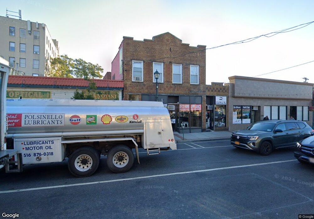
72 Atlantic Ave Lynbrook, NY 11563
Estimated Value: $806,000
Studio
--
Bath
3,417
Sq Ft
$236/Sq Ft
Est. Value
About This Home
This home is located at 72 Atlantic Ave, Lynbrook, NY 11563 and is currently estimated at $806,000, approximately $235 per square foot. 72 Atlantic Ave is a home located in Nassau County with nearby schools including Lynbrook Senior High School and Our Lady Of Peace School.
Ownership History
Date
Name
Owned For
Owner Type
Purchase Details
Closed on
Mar 3, 2020
Sold by
Laran Realty Management Llc
Bought by
Anlar Realty Llc
Current Estimated Value
Purchase Details
Closed on
May 25, 2010
Sold by
R And E Realty Co Inc
Bought by
Laran Realty Management Llc
Purchase Details
Closed on
May 12, 2003
Sold by
Albers Richard
Create a Home Valuation Report for This Property
The Home Valuation Report is an in-depth analysis detailing your home's value as well as a comparison with similar homes in the area
Home Values in the Area
Average Home Value in this Area
Purchase History
| Date | Buyer | Sale Price | Title Company |
|---|---|---|---|
| Anlar Realty Llc | -- | Fidelity National Title Ins | |
| Laran Realty Management Llc | $350,000 | -- | |
| -- | -- | -- |
Source: Public Records
Tax History
| Year | Tax Paid | Tax Assessment Tax Assessment Total Assessment is a certain percentage of the fair market value that is determined by local assessors to be the total taxable value of land and additions on the property. | Land | Improvement |
|---|---|---|---|---|
| 2025 | $24,243 | $4,362 | $1,147 | $3,215 |
| 2024 | $2,107 | $4,362 | $1,147 | $3,215 |
| 2023 | $21,509 | $4,362 | $1,147 | $3,215 |
| 2022 | $21,509 | $4,362 | $1,147 | $3,215 |
| 2021 | $30,749 | $4,305 | $1,147 | $3,158 |
| 2020 | $25,500 | $2,776 | $1,180 | $1,596 |
| 2019 | $2,850 | $2,776 | $956 | $1,820 |
| 2018 | $2,421 | $2,776 | $0 | $0 |
| 2017 | $21,734 | $3,426 | $1,180 | $2,246 |
| 2016 | $24,502 | $3,426 | $1,180 | $2,246 |
| 2015 | $2,662 | $3,426 | $1,180 | $2,246 |
| 2014 | $2,662 | $3,426 | $1,180 | $2,246 |
| 2013 | $2,404 | $3,426 | $1,180 | $2,246 |
Source: Public Records
Map
Nearby Homes
- 98 Union Place
- 185 Atlantic Ave Unit C-1
- 185 Atlantic Ave Unit B8
- 185 Atlantic Ave Unit C-3
- 85 Spencer Ave
- 200 Atlantic Ave Unit 123
- 200 Atlantic Ave Unit 226
- 200 Atlantic Ave Unit 417
- 200 Atlantic Ave Unit 331
- 200 Atlantic Ave Unit 138
- 40 Daley Place Unit 124
- 40 Daley Place Unit 227
- 30 Putnam Ave
- 20 Daley Place Unit 128
- 30 Daley Place Unit 136
- 30 Daley Place Unit 247
- 20 Daley Place Unit 225
- 20 Daley Place Unit 113
- 30 Daley Place Unit 146
- 2 Fowler Ave Unit 228
- 74 Atlantic Ave
- 68-72 Atlantic Ave Unit 71
- 73 Atlantic Ave
- 71 Atlantic Ave
- 421 Sunrise Hwy
- 421 Sunrise Hwy Unit 7
- 381 Sunrise Hwy
- 381 Sunrise Hwy Unit 7
- 82 Atlantic Ave
- 79 Atlantic Ave
- 87 Atlantic Ave
- 87 Atlantic Ave
- 0 Sunrise Hwy Unit 3157817
- 393 Sunrise Hwy
- 393 Sunrise Hwy Unit 4
- 393 Sunrise Hwy Unit 3
- 393 Sunrise Hwy Unit A
- 393 Sunrise Hwy Unit 2
- 393 Sunrise Hwy Unit 1
- 393 Sunrise Hwy Unit B
Your Personal Tour Guide
Ask me questions while you tour the home.