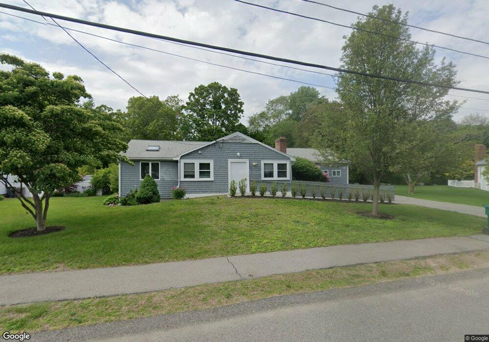
72 Carol Dr Dedham, MA 02026
Greenlodge NeighborhoodEstimated Value: $905,000
3
Beds
2
Baths
1,988
Sq Ft
$455/Sq Ft
Est. Value
About This Home
This home is located at 72 Carol Dr, Dedham, MA 02026 and is currently estimated at $905,000, approximately $455 per square foot. 72 Carol Dr is a home located in Norfolk County with nearby schools including Greenlodge Elementary School, Dedham Middle School, and Dedham High School.
Create a Home Valuation Report for This Property
The Home Valuation Report is an in-depth analysis detailing your home's value as well as a comparison with similar homes in the area
Home Values in the Area
Average Home Value in this Area
Tax History
| Year | Tax Paid | Tax Assessment Tax Assessment Total Assessment is a certain percentage of the fair market value that is determined by local assessors to be the total taxable value of land and additions on the property. | Land | Improvement |
|---|---|---|---|---|
| 2025 | $8,864 | $642,500 | $392,100 | $250,400 |
| 2024 | $8,864 | $709,100 | $360,900 | $348,200 |
| 2023 | $8,455 | $658,500 | $334,800 | $323,700 |
| 2022 | $7,858 | $588,600 | $306,400 | $282,200 |
| 2021 | $7,765 | $568,000 | $306,400 | $261,600 |
| 2020 | $7,492 | $546,100 | $293,400 | $252,700 |
| 2019 | $7,016 | $495,800 | $266,300 | $229,500 |
| 2018 | $6,641 | $456,400 | $243,000 | $213,400 |
| 2017 | $6,627 | $449,000 | $235,600 | $213,400 |
| 2016 | $6,518 | $420,800 | $209,200 | $211,600 |
| 2015 | $6,227 | $392,400 | $203,100 | $189,300 |
| 2014 | $5,964 | $370,900 | $203,100 | $167,800 |
Source: Public Records
Map
Nearby Homes
- 4 Flintlock Ln
- 193 Vincent Rd
- 215 Blue Hill Dr
- 22 Azalea Cir
- 214 Sprague St
- 93 Alden St
- 91 Kimball Rd
- 10 Peartree Dr
- 148 Tower St
- 39 Peartree Dr
- 94 Durham Rd
- 130 University Ave Unit 1312
- 28 Lilly Ln
- 91 Ashcroft St
- 105 Oakdale Ave
- 290 East St
- 24 Prescott St Unit 3
- 180 Walnut St
- 374 Whiting Ave
- 1892 River St
Your Personal Tour Guide
Ask me questions while you tour the home.