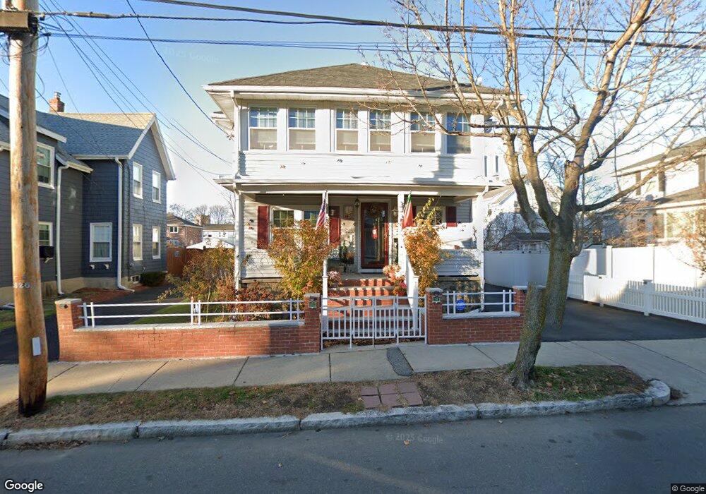
72 E Foster St Melrose, MA 02176
Downtown Melrose NeighborhoodEstimated Value: $781,000 - $934,000
4
Beds
2
Baths
2,116
Sq Ft
$411/Sq Ft
Est. Value
About This Home
This home is located at 72 E Foster St, Melrose, MA 02176 and is currently estimated at $870,102, approximately $411 per square foot. 72 E Foster St is a home located in Middlesex County with nearby schools including Lincoln Elementary School, Winthrop Elementary School, and Horace Mann Elementary School.
Ownership History
Date
Name
Owned For
Owner Type
Purchase Details
Closed on
Feb 6, 2007
Sold by
Hoey Alan and Hoey Rita
Bought by
Ferreira Jose A
Current Estimated Value
Home Financials for this Owner
Home Financials are based on the most recent Mortgage that was taken out on this home.
Original Mortgage
$375,250
Outstanding Balance
$224,759
Interest Rate
6.16%
Mortgage Type
Purchase Money Mortgage
Estimated Equity
$645,343
Create a Home Valuation Report for This Property
The Home Valuation Report is an in-depth analysis detailing your home's value as well as a comparison with similar homes in the area
Home Values in the Area
Average Home Value in this Area
Purchase History
| Date | Buyer | Sale Price | Title Company |
|---|---|---|---|
| Ferreira Jose A | $395,000 | -- |
Source: Public Records
Mortgage History
| Date | Status | Borrower | Loan Amount |
|---|---|---|---|
| Open | Ferreira Jose A | $375,250 |
Source: Public Records
Tax History
| Year | Tax Paid | Tax Assessment Tax Assessment Total Assessment is a certain percentage of the fair market value that is determined by local assessors to be the total taxable value of land and additions on the property. | Land | Improvement |
|---|---|---|---|---|
| 2025 | $74 | $743,400 | $413,200 | $330,200 |
| 2024 | $6,928 | $697,700 | $386,500 | $311,200 |
| 2023 | $6,921 | $664,200 | $359,800 | $304,400 |
| 2022 | $6,770 | $640,500 | $346,500 | $294,000 |
| 2021 | $177 | $596,400 | $333,200 | $263,200 |
| 2020 | $6,258 | $566,300 | $306,500 | $259,800 |
| 2019 | $168 | $544,300 | $293,200 | $251,100 |
| 2018 | $169 | $485,700 | $243,200 | $242,500 |
| 2017 | $5,408 | $458,300 | $233,200 | $225,100 |
| 2016 | $4,985 | $404,300 | $206,600 | $197,700 |
| 2015 | $5,016 | $387,000 | $206,600 | $180,400 |
| 2014 | $4,918 | $370,300 | $189,900 | $180,400 |
Source: Public Records
Map
Nearby Homes
- 54-56 Dell Ave
- 77 Dell Ave
- 15 Cass St
- 236-238 Main St
- 35 Felton Place
- 534 Main St Unit 11
- 71-73 Grove St
- 340 Main St Unit 311
- 333 Main St
- 36 Lake Ave
- 37 S High St
- 8 Crystal St Unit 2
- 8 Crystal St Unit 3
- 228 Upham St
- 104 Cottage St
- 72 Stratford Rd
- 79 Florence Ave
- 515 Pleasant St Unit 3-1
- 62 Cottage St
- 155 Bellevue Ave
- 72 E Foster St Unit 1
- 68 E Foster St
- 78 E Foster St
- 66 E Foster St
- 54 Dell Ave Unit 56
- 58 Dell Ave
- 75 E Foster St Unit 77
- 75 E Foster St Unit Right
- 71 E Foster St
- 67 E Foster St
- 57 Winter Street Extension
- 62 E Foster St
- 62 Dell Ave
- 51 Winter Street Extension
- 63 E Foster St
- 4 Stevens Place Unit 3
- 4 Stevens Place Unit 2
- 4 Stevens Place Unit 1
- 51 Dell Ave
- 58 E Foster St
Your Personal Tour Guide
Ask me questions while you tour the home.