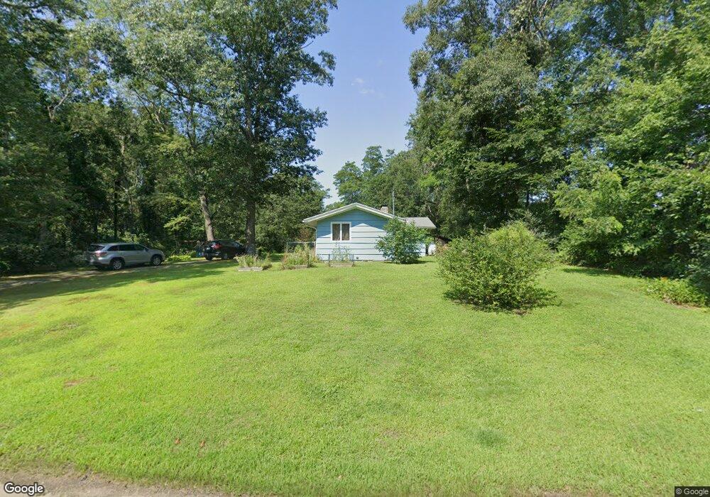
72 Johnson Rd Foster, RI 02825
Estimated Value: $442,003 - $545,000
3
Beds
2
Baths
1,840
Sq Ft
$265/Sq Ft
Est. Value
About This Home
This home is located at 72 Johnson Rd, Foster, RI 02825 and is currently estimated at $487,501, approximately $264 per square foot. 72 Johnson Rd is a home located in Providence County with nearby schools including Capt. Isaac Paine El. School, Ponaganset Middle School, and Ponaganset High School.
Ownership History
Date
Name
Owned For
Owner Type
Purchase Details
Closed on
Aug 28, 2012
Sold by
Virginia Bassett Ret
Bought by
Roelle 4Th Clifford W and Murray Pamela M
Current Estimated Value
Purchase Details
Closed on
Sep 27, 2001
Sold by
Fell Catherine
Bought by
Bassett Virginia
Home Financials for this Owner
Home Financials are based on the most recent Mortgage that was taken out on this home.
Original Mortgage
$98,000
Interest Rate
6.91%
Create a Home Valuation Report for This Property
The Home Valuation Report is an in-depth analysis detailing your home's value as well as a comparison with similar homes in the area
Home Values in the Area
Average Home Value in this Area
Purchase History
| Date | Buyer | Sale Price | Title Company |
|---|---|---|---|
| Roelle 4Th Clifford W | -- | -- | |
| Bassett Virginia | $140,000 | -- |
Source: Public Records
Mortgage History
| Date | Status | Borrower | Loan Amount |
|---|---|---|---|
| Open | Bassett Virginia | $200,000 | |
| Previous Owner | Bassett Virginia | $98,000 | |
| Previous Owner | Bassett Virginia | $42,000 |
Source: Public Records
Tax History
| Year | Tax Paid | Tax Assessment Tax Assessment Total Assessment is a certain percentage of the fair market value that is determined by local assessors to be the total taxable value of land and additions on the property. | Land | Improvement |
|---|---|---|---|---|
| 2025 | $6,828 | $317,300 | $107,100 | $210,200 |
| 2024 | $6,609 | $317,300 | $107,100 | $210,200 |
| 2023 | $5,785 | $255,200 | $82,400 | $172,800 |
| 2022 | $5,604 | $255,200 | $82,400 | $172,800 |
| 2021 | $5,446 | $255,200 | $82,400 | $172,800 |
| 2020 | $4,986 | $209,600 | $71,600 | $138,000 |
| 2018 | $4,787 | $209,600 | $71,600 | $138,000 |
| 2017 | $4,945 | $212,700 | $71,600 | $141,100 |
| 2015 | $4,556 | $212,700 | $71,600 | $141,100 |
| 2014 | $4,277 | $203,100 | $71,500 | $131,600 |
Source: Public Records
Map
Nearby Homes
- 61 Howard Hill Rd
- 55 Howard Hill Rd
- 29 Luther Rd
- 980 Plainfield Pike
- 1150 Plainfield Pike
- 18 King Rd
- 188 Danielson Pike
- 32 Wright Rd
- 0 Carrs Trail
- 233 Sisson Rd
- 120 Danielson Pike
- 1567 Plainfield Pike
- 0 Central Pike
- 91 Danielson Pike
- 120 Pig Hill Rd
- 34 Hicks Way
- 40 Hicks Way
- 41 Margaret Henry Rd
- 1370 Plainfield Pike
- 172 Bailey Hill Rd
- 71 Johnson Rd
- 86 Johnson Rd
- 84 Johnson Rd
- 85 Johnson Rd
- 2 Gold Mine Rd
- 87 Johnson Rd
- 1 Gold Mine Rd
- 11 Harrington Rd
- 0 Harrington Rd Unit 1011569
- 0 Harrington Rd Unit 1122297
- 0 Harrington Rd Unit 1176666
- 0 Harrington Rd Unit 1268796
- 0 Harrington Rd Unit 1268799
- 0 Harrington Rd Unit 1272328
- 87 Harrington Rd
- 15 Gold Mine Rd
- 89 Johnson Rd
- 5 Gold Mine Rd
- 7 Gold Mine Rd
- 4 Gold Mine Rd
Your Personal Tour Guide
Ask me questions while you tour the home.