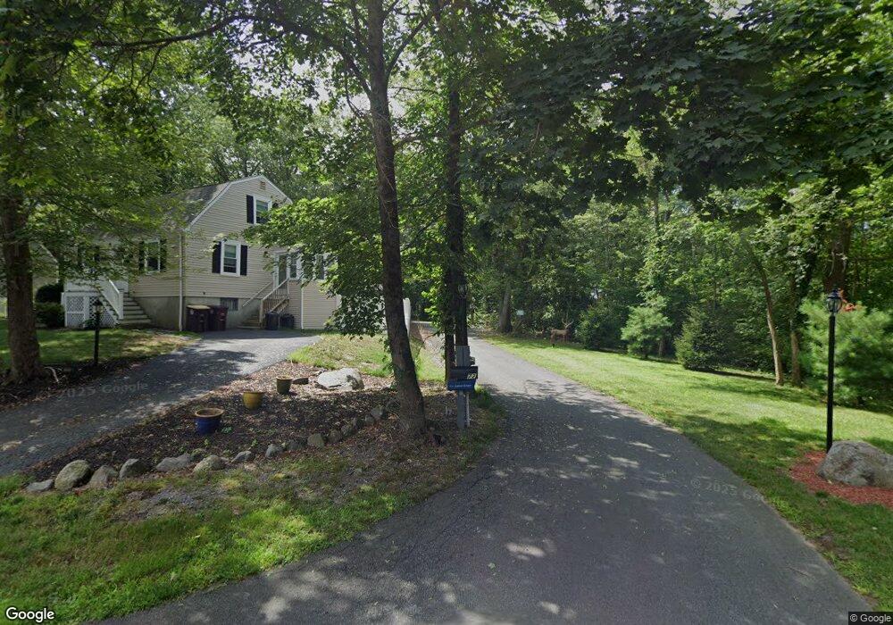
72 Lone Pine Path Weymouth, MA 02188
Weymouth Landing NeighborhoodEstimated Value: $891,000 - $983,111
Studio
4
Baths
2,664
Sq Ft
$352/Sq Ft
Est. Value
About This Home
This home is located at 72 Lone Pine Path, Weymouth, MA 02188 and is currently estimated at $937,278, approximately $351 per square foot. 72 Lone Pine Path is a home located in Norfolk County with nearby schools including Frederick C Murphy, Abigail Adams Middle School, and Weymouth Middle School Chapman.
Ownership History
Date
Name
Owned For
Owner Type
Purchase Details
Closed on
Jan 12, 2015
Sold by
Preston Norman T
Bought by
72 Lone Pine Path Rt and Preston Norman T
Current Estimated Value
Home Financials for this Owner
Home Financials are based on the most recent Mortgage that was taken out on this home.
Original Mortgage
$350,000
Outstanding Balance
$269,561
Interest Rate
3.99%
Mortgage Type
Credit Line Revolving
Estimated Equity
$667,717
Create a Home Valuation Report for This Property
The Home Valuation Report is an in-depth analysis detailing your home's value as well as a comparison with similar homes in the area
Home Values in the Area
Average Home Value in this Area
Purchase History
We collect this data history from publicly available records. To have your information removed, we recommend requesting removal directly through your county’s website.
| Date | Buyer | Sale Price | Title Company |
|---|---|---|---|
| 72 Lone Pine Path Rt | -- | -- |
Source: Public Records
Mortgage History
We collect this data history from publicly available records. To have your information removed, we recommend requesting removal directly through your county’s website.
| Date | Status | Borrower | Loan Amount |
|---|---|---|---|
| Open | 72 Lone Pine Path Rt | $350,000 |
Source: Public Records
Tax History
| Year | Tax Paid | Tax Assessment Tax Assessment Total Assessment is a certain percentage of the fair market value that is determined by local assessors to be the total taxable value of land and additions on the property. | Land | Improvement |
|---|---|---|---|---|
| 2025 | $10,076 | $997,600 | $290,200 | $707,400 |
| 2024 | $9,762 | $950,500 | $276,400 | $674,100 |
| 2023 | $9,601 | $918,800 | $256,000 | $662,800 |
| 2022 | $9,273 | $809,200 | $237,000 | $572,200 |
| 2021 | $8,875 | $756,000 | $237,000 | $519,000 |
| 2020 | $8,642 | $725,000 | $237,000 | $488,000 |
| 2019 | $8,426 | $695,200 | $228,000 | $467,200 |
| 2018 | $8,133 | $650,600 | $217,500 | $433,100 |
| 2017 | $7,901 | $616,800 | $207,600 | $409,200 |
| 2016 | $7,658 | $598,300 | $199,600 | $398,700 |
| 2015 | $7,230 | $560,500 | $192,900 | $367,600 |
| 2014 | $6,727 | $505,800 | $179,300 | $326,500 |
Source: Public Records
Map
Nearby Homes
- 82 Lester Ln
- 50 Sherricks Farm Rd
- 377 Summer St
- 48 Summer St
- 38 Stonewood Ln
- 437 Summer St
- 33 Hunt St
- 115 Pilgrim Rd
- 12 Franklin St
- 61 Broad St
- 80 Kensington Rd
- 501 Commerce Dr Unit 2204
- 501 Commerce Dr Unit 308
- 501 Commerce Dr Unit 2105
- 501 Commerce Dr Unit 4308
- 501 Commerce Dr Unit 3119
- 114 Meredith Way
- 99 Louise Rd
- 49 Brookside Rd
- 37 Lantern Ln
- 56 Lone Pine Path
- 60 Lone Pine Path
- 50 Lone Pine Path
- 66 Lone Pine Path
- 83 Lester Ln
- 46 Lone Pine Path
- 95 Lester Ln
- 59 Lone Pine Path
- 53 Lone Pine Path
- 32 Alma Cir
- 71 Lester Ln
- 65 Lone Pine Path
- 47 Lone Pine Path
- 40 Lone Pine Path
- 26 Alma Cir
- 69 Lone Pine Path
- 41 Lone Pine Path
- 61 Lester Ln
- 37 Lester Ln
- 23 Briarwood Trail
Your Personal Tour Guide
Ask me questions while you tour the home.