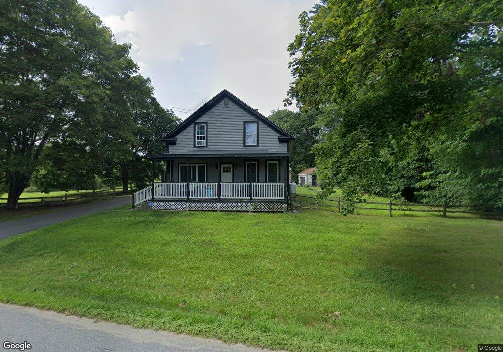
72 Maynard Rd Brooklyn, CT 06234
Brooklyn NeighborhoodEstimated Value: $350,000 - $387,609
3
Beds
1
Bath
1,920
Sq Ft
$191/Sq Ft
Est. Value
About This Home
This home is located at 72 Maynard Rd, Brooklyn, CT 06234 and is currently estimated at $367,652, approximately $191 per square foot. 72 Maynard Rd is a home located in Windham County with nearby schools including Brooklyn Elementary School and Brooklyn Middle School.
Ownership History
Date
Name
Owned For
Owner Type
Purchase Details
Closed on
Jan 4, 2008
Sold by
Mcewan Dawn M
Bought by
Rodman William B and Durfee Kristen D
Current Estimated Value
Home Financials for this Owner
Home Financials are based on the most recent Mortgage that was taken out on this home.
Original Mortgage
$212,588
Interest Rate
6.27%
Create a Home Valuation Report for This Property
The Home Valuation Report is an in-depth analysis detailing your home's value as well as a comparison with similar homes in the area
Home Values in the Area
Average Home Value in this Area
Purchase History
| Date | Buyer | Sale Price | Title Company |
|---|---|---|---|
| Rodman William B | $218,000 | -- | |
| Rodman William B | $218,000 | -- |
Source: Public Records
Mortgage History
| Date | Status | Borrower | Loan Amount |
|---|---|---|---|
| Open | Rodman William B | $210,000 | |
| Closed | Rodman William B | $212,588 | |
| Previous Owner | Rodman William B | $80,000 |
Source: Public Records
Tax History
| Year | Tax Paid | Tax Assessment Tax Assessment Total Assessment is a certain percentage of the fair market value that is determined by local assessors to be the total taxable value of land and additions on the property. | Land | Improvement |
|---|---|---|---|---|
| 2025 | $5,625 | $241,640 | $42,700 | $198,940 |
| 2024 | $4,824 | $163,300 | $31,900 | $131,400 |
| 2023 | $4,670 | $163,300 | $31,900 | $131,400 |
| 2022 | $4,487 | $163,300 | $31,900 | $131,400 |
| 2021 | $4,314 | $163,300 | $31,900 | $131,400 |
| 2020 | $4,442 | $153,600 | $39,200 | $114,400 |
| 2019 | $4,442 | $153,600 | $39,200 | $114,400 |
| 2018 | $4,000 | $142,400 | $39,200 | $103,200 |
| 2017 | $3,858 | $142,400 | $39,200 | $103,200 |
| 2016 | $3,751 | $142,400 | $39,200 | $103,200 |
| 2015 | $3,397 | $145,000 | $44,200 | $100,800 |
| 2014 | $3,397 | $145,000 | $44,200 | $100,800 |
Source: Public Records
Map
Nearby Homes
- 379 Christian Hill Rd
- 0 Wauregan Rd NE Unit 24143170
- 30 S Walnut St
- 46-52 Wauregan Rd
- 44-46 S Chestnut St
- 365-367 Putnam Rd
- 79 All Hallows Rd
- 101 All Hallows Rd
- 170 Putnam Rd
- 22 Jolley Rd
- 33 Junior Ave
- 25 Putnam Rd
- 230 Bailey Woods Rd
- 0 Putnam Rd Unit 24147722
- 0 Green Hollow Rd
- 25 Torrey Ln
- 277 Moosup Pond Rd
- 10 Texas Heights Rd
- 30 Main St
- 251 Wauregan Rd
- 70 Maynard Rd
- 321 Christian Hill Rd
- 90 Maynard Rd
- 82 Maynard Rd
- 60 Maynard Rd
- 349 Christian Hill Rd
- 77 Maynard Rd
- 80 Maynard Rd
- 52 Maynard Rd
- 347 Christian Hill Rd
- 323 Christian Hill Rd
- 85 Maynard Rd
- 97 Maynard Rd
- 48 Maynard Rd
- 49 Maynard Rd
- 91 Maynard Rd
- 104 Maynard Rd
- 28 Maynard Rd
- 303 Wauregan Rd
- 26 Maynard Rd
Your Personal Tour Guide
Ask me questions while you tour the home.