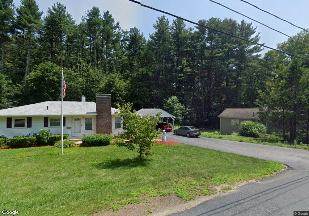
72 Prentice Rd Whitinsville, MA 01588
Estimated Value: $366,000 - $420,000
2
Beds
1
Bath
960
Sq Ft
$401/Sq Ft
Est. Value
About This Home
This home is located at 72 Prentice Rd, Whitinsville, MA 01588 and is currently estimated at $384,692, approximately $400 per square foot. 72 Prentice Rd is a home located in Worcester County with nearby schools including Northbridge Elementary School, Northbridge Middle School, and Northbridge High School.
Create a Home Valuation Report for This Property
The Home Valuation Report is an in-depth analysis detailing your home's value as well as a comparison with similar homes in the area
Tax History
We collect this data history from publicly available records. To have your information removed, we recommend requesting removal directly through your county’s website.
| Year | Tax Paid | Tax Assessment Tax Assessment Total Assessment is a certain percentage of the fair market value that is determined by local assessors to be the total taxable value of land and additions on the property. | Land | Improvement |
|---|---|---|---|---|
| 2025 | $3,807 | $322,900 | $138,800 | $184,100 |
| 2024 | $3,696 | $305,700 | $138,800 | $166,900 |
| 2023 | $3,893 | $300,400 | $138,800 | $161,600 |
| 2022 | $3,469 | $251,900 | $106,800 | $145,100 |
| 2021 | $708 | $224,400 | $101,600 | $122,800 |
| 2020 | $629 | $219,300 | $101,600 | $117,700 |
| 2019 | $599 | $212,900 | $101,600 | $111,300 |
| 2018 | $611 | $202,900 | $96,800 | $106,100 |
| 2017 | $2,641 | $195,200 | $96,800 | $98,400 |
| 2016 | $2,493 | $181,300 | $88,000 | $93,300 |
| 2015 | $2,249 | $168,100 | $74,800 | $93,300 |
| 2014 | $2,225 | $167,800 | $74,800 | $93,000 |
Source: Public Records
Map
Nearby Homes
- 60 Prentice Rd
- 71 Prentice Rd
- 57 Prentice Rd
- 81 Prentice Rd
- 90 Prentice Rd
- 40 Prentice Rd
- 91 Prentice Rd
- 45 Prentice Rd
- 99 Prentice Rd
- 35 Prentice Rd
- 0 Prentice Rd
- 109 Prentice Rd
- 25 Prentice Rd
- 20 Prentice Rd
- 119 Prentice Rd
- 836-838 Main St
- 17 Prentice Rd
- 836 Main St Unit 838
- 130 Prentice Rd
- 826 Main St
Your Personal Tour Guide
Ask me questions while you tour the home.