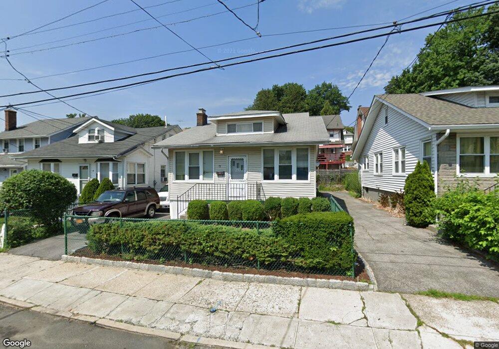
72 Rockledge Ave Mount Vernon, NY 10550
Estimated Value: $422,526 - $547,000
Studio
--
Bath
--
Sq Ft
3,049
Sq Ft Lot
About This Home
This home is located at 72 Rockledge Ave, Mount Vernon, NY 10550 and is currently estimated at $471,882. 72 Rockledge Ave is a home located in Westchester County with nearby schools including Rebecca Turner Elementary School, Benjamin Turner Middle School, and Mount Vernon High School.
Ownership History
Date
Name
Owned For
Owner Type
Purchase Details
Closed on
May 11, 2022
Sold by
Linwood Twine Jr
Bought by
Deonandan Lamesh
Current Estimated Value
Home Financials for this Owner
Home Financials are based on the most recent Mortgage that was taken out on this home.
Original Mortgage
$324,000
Outstanding Balance
$305,172
Interest Rate
5.27%
Mortgage Type
New Conventional
Estimated Equity
$166,710
Purchase Details
Closed on
Nov 12, 2002
Sold by
Milford Management Corp
Bought by
Twine Linwood
Create a Home Valuation Report for This Property
The Home Valuation Report is an in-depth analysis detailing your home's value as well as a comparison with similar homes in the area
Home Values in the Area
Average Home Value in this Area
Purchase History
| Date | Buyer | Sale Price | Title Company |
|---|---|---|---|
| Deonandan Lamesh | $360,000 | New Title Company Name | |
| Twine Linwood | $14,891 | -- |
Source: Public Records
Mortgage History
| Date | Status | Borrower | Loan Amount |
|---|---|---|---|
| Open | Deonandan Lamesh | $324,000 |
Source: Public Records
Tax History
| Year | Tax Paid | Tax Assessment Tax Assessment Total Assessment is a certain percentage of the fair market value that is determined by local assessors to be the total taxable value of land and additions on the property. | Land | Improvement |
|---|---|---|---|---|
| 2025 | $11,385 | $6,900 | $1,500 | $5,400 |
| 2024 | $11,385 | $6,900 | $1,500 | $5,400 |
| 2023 | $8,859 | $6,900 | $1,500 | $5,400 |
| 2022 | $9,131 | $6,900 | $1,500 | $5,400 |
| 2021 | $10,683 | $6,900 | $1,500 | $5,400 |
| 2020 | $8,230 | $6,900 | $1,500 | $5,400 |
| 2019 | $10,224 | $6,900 | $1,500 | $5,400 |
| 2018 | $0 | $6,900 | $1,500 | $5,400 |
| 2017 | $0 | $6,900 | $1,500 | $5,400 |
| 2016 | $9,828 | $6,900 | $1,500 | $5,400 |
| 2015 | -- | $6,900 | $1,500 | $5,400 |
| 2014 | -- | $6,900 | $1,500 | $5,400 |
| 2013 | -- | $6,900 | $1,500 | $5,400 |
Source: Public Records
Map
Nearby Homes
- 62 Washington Blvd
- 724 S 4th Ave
- 15 Washington Blvd
- 15 Saint Pauls Place
- 646 S 3rd Ave
- 639 S 5th Ave
- 10 Pratt Ave
- 75 W Kingsbridge Rd
- 4040 Pratt Ave
- 605 S 6th Ave
- 3946 Secor Ave
- 29 Bell Ave
- 3968 Duryea Ave
- 3964 Duryea Ave
- 620 S 9th Ave
- 138 W Kingsbridge Rd
- 3963 Duryea Ave
- 1461 E 233rd St
- 3924 Duryea Ave
- 3919 Pratt Ave
- 68 Rockledge Ave
- 78 Rockledge Ave
- 66 Rockledge Ave
- 25 Wildwood Ave
- 80 Rockledge Ave
- 29 Wildwood Ave
- 23 Wildwood Ave
- 35 Wildwood Ave
- 62 Rockledge Ave
- 75 Rockledge Ave
- 77 Rockledge Ave
- 73 Rockledge Ave
- 84 Rockledge Ave
- 87 Rockledge Ave
- 39 Wildwood Ave
- 67 Rockledge Ave
- 65 Rockledge Ave
- 45 Wildwood Ave
- 90 Rockledge Ave
- 59 Rockledge Ave
Your Personal Tour Guide
Ask me questions while you tour the home.