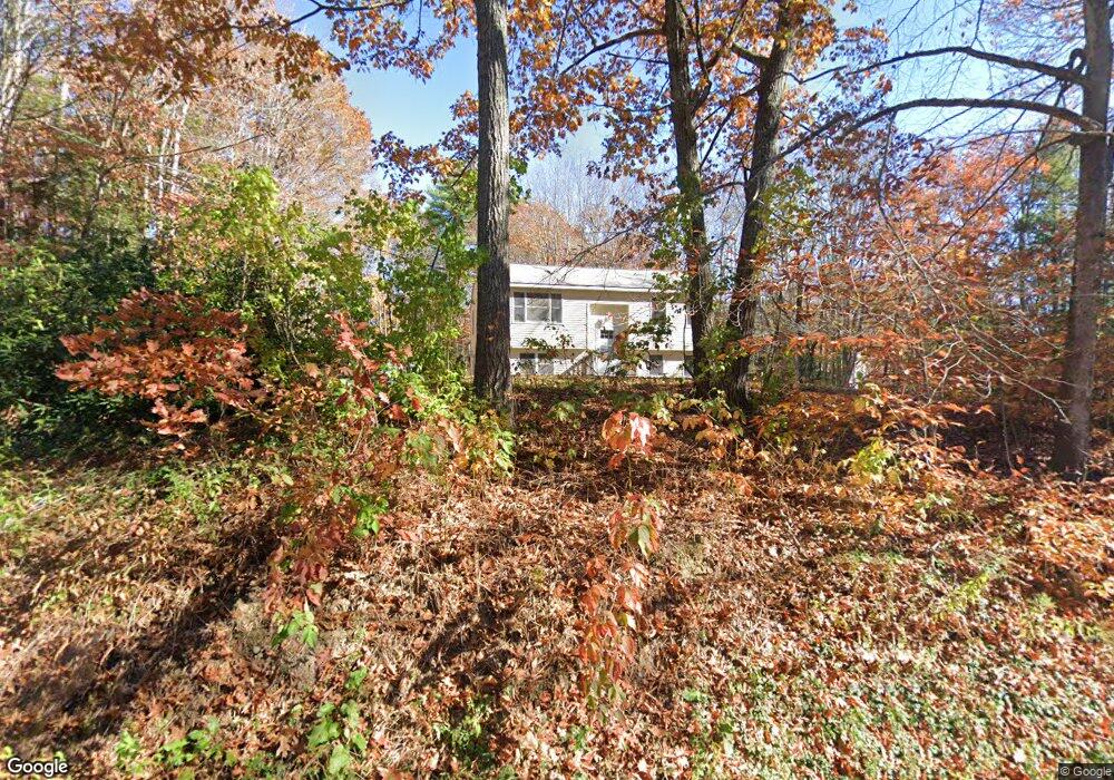
72 Thompson Rd Arundel, ME 04046
Estimated Value: $349,711 - $415,000
3
Beds
1
Bath
1,320
Sq Ft
$297/Sq Ft
Est. Value
About This Home
This home is located at 72 Thompson Rd, Arundel, ME 04046 and is currently estimated at $391,928, approximately $296 per square foot. 72 Thompson Rd is a home located in York County with nearby schools including Kennebunk High School.
Ownership History
Date
Name
Owned For
Owner Type
Purchase Details
Closed on
Jul 21, 2006
Sold by
Hall Zoeann N
Bought by
Shaw John P
Current Estimated Value
Home Financials for this Owner
Home Financials are based on the most recent Mortgage that was taken out on this home.
Original Mortgage
$179,100
Interest Rate
6.67%
Mortgage Type
Purchase Money Mortgage
Create a Home Valuation Report for This Property
The Home Valuation Report is an in-depth analysis detailing your home's value as well as a comparison with similar homes in the area
Home Values in the Area
Average Home Value in this Area
Purchase History
| Date | Buyer | Sale Price | Title Company |
|---|---|---|---|
| Shaw John P | -- | -- |
Source: Public Records
Mortgage History
| Date | Status | Borrower | Loan Amount |
|---|---|---|---|
| Closed | Shaw John P | $179,100 |
Source: Public Records
Tax History
| Year | Tax Paid | Tax Assessment Tax Assessment Total Assessment is a certain percentage of the fair market value that is determined by local assessors to be the total taxable value of land and additions on the property. | Land | Improvement |
|---|---|---|---|---|
| 2024 | $2,606 | $153,300 | $46,900 | $106,400 |
| 2023 | $2,606 | $153,300 | $46,900 | $106,400 |
| 2022 | $2,591 | $153,300 | $46,900 | $106,400 |
| 2021 | $2,591 | $153,300 | $46,900 | $106,400 |
| 2020 | $2,565 | $153,300 | $46,900 | $106,400 |
| 2019 | $2,499 | $153,300 | $46,900 | $106,400 |
| 2018 | $2,441 | $153,300 | $46,900 | $106,400 |
| 2017 | $2,376 | $153,300 | $46,900 | $106,400 |
| 2016 | $2,318 | $153,300 | $46,900 | $106,400 |
| 2015 | $2,292 | $153,300 | $46,900 | $106,400 |
| 2014 | $2,223 | $153,300 | $46,900 | $106,400 |
| 2013 | $2,223 | $153,300 | $46,900 | $106,400 |
Source: Public Records
Map
Nearby Homes
- 3 Gerald Ln
- Lot# 0 Alewive Rd
- 23 Old Post Rd
- 9 Carriedale Ln
- 13 Kimball Ln
- Lot 00B Knight Farm Rd
- Lot 00E Knight Farm Rd
- Lot 00A Knight Farm Rd
- 2 Lamoine Ln
- 79 Country Way
- 2 Dogwood Cir
- 5 Dogwood Cir
- 9 Dogwood Cir
- 6 Dogwood Cir
- 4 Dogwood Cir
- 1 Dogwood Cir
- 22 Caya Ln Unit A
- 19 Day Rd
- 173 Tamrox Dr
- 5 Gigi Ln
- 82 Thompson Rd
- 64 Thompson Rd
- 328 Thompson Rd
- 92 Thompson Rd
- 56 Thompson Rd
- 100 Thompson Rd
- 43 Thompson Rd
- 106 Thompson Rd
- 40 Thompson Rd
- 32 Foxcroft Ln
- 34 Foxcroft Ln
- 28 Foxcroft Ln
- 103 Thompson Rd
- 122 Thompson Rd
- 36 Foxcroft Ln
- 38 Foxcroft Ln
- 127 Thompson Rd
- 213 Curtis Rd
- 37 Foxcroft Ln
- 26 Shire Ln
Your Personal Tour Guide
Ask me questions while you tour the home.