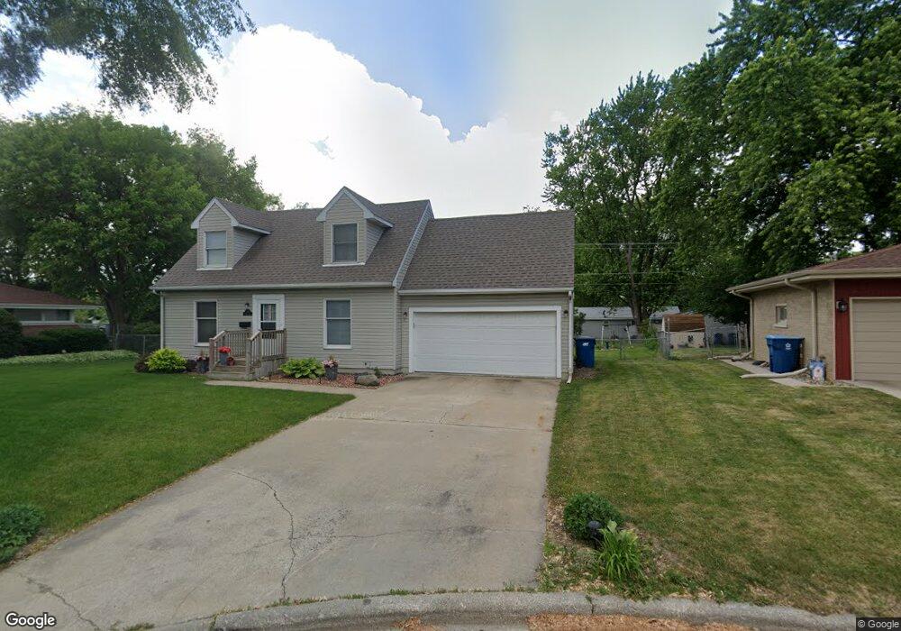
720 Burns Ct Bourbonnais, IL 60914
Bourbonnais AreaEstimated Value: $139,000 - $184,000
About This Home
This home is located at 720 Burns Ct, Bourbonnais, IL 60914 and is currently estimated at $159,947. 720 Burns Ct is a home located in Kankakee County with nearby schools including Shabbona Elementary School, Liberty Intermediate School, and Bourbonnais Upper Grade Center.
Ownership History
We collect this data history from publicly available records. To have your information removed, we recommend requesting removal directly through your county’s website.
Purchase Details
Purchase Details
Purchase Details
Home Values in the Area
Average Home Value in this Area
Purchase History
We collect this data history from publicly available records. To have your information removed, we recommend requesting removal directly through your county’s website.
| Date | Buyer | Sale Price | Title Company |
|---|---|---|---|
| $120,000 | Standard Title | ||
| -- | None Listed On Document | ||
| -- | Barmann Bohlen & Scott Pc |
Tax History
We collect this data history from publicly available records. To have your information removed, we recommend requesting removal directly through your county’s website.
| Year | Tax Paid | Tax Assessment Tax Assessment Total Assessment is a certain percentage of the fair market value that is determined by local assessors to be the total taxable value of land and additions on the property. | Land | Improvement |
|---|---|---|---|---|
| 2025 | $3,931 | $51,860 | $6,956 | $44,904 |
| 2024 | $3,931 | $47,295 | $6,562 | $40,733 |
| 2023 | $3,616 | $43,792 | $6,076 | $37,716 |
| 2022 | $3,633 | $42,209 | $5,856 | $36,353 |
| 2021 | $3,576 | $41,280 | $5,727 | $35,553 |
| 2020 | $3,549 | $40,175 | $5,574 | $34,601 |
| 2019 | $3,368 | $37,713 | $5,412 | $32,301 |
| 2018 | $3,463 | $38,656 | $5,332 | $33,324 |
| 2017 | $3,402 | $37,713 | $5,202 | $32,511 |
| 2016 | $3,316 | $36,839 | $5,125 | $31,714 |
| 2015 | $3,384 | $37,115 | $5,074 | $32,041 |
| 2014 | $3,149 | $35,963 | $5,074 | $30,889 |
| 2013 | -- | $37,115 | $5,074 | $32,041 |
Map
- 292 Ashley Ave
- 213 Belle Aire Ave
- 376 Belle Aire Ave
- 889 Armour Rd
- 899 Armour Rd
- 209-215 E Marsile St
- 631 Robert Dr
- 695 Cherokee Dr
- 440 S Cryer Ave
- 660 Jonette Ave
- 901 W North St
- 0 Broadway St E Unit MRD12509049
- 470 N Grand Ave
- 301 Meadows Rd S
- 1823 Armour Rd
- 372 N Blaine Ave
- 448 N Michigan Ave
- 28 Jordan Dr
- 778 Woodstock Ln
- Lot 5/5A Almar Pkwy
- 734 Burns Ct
- 726 Burns Ct
- 750 Burns Ct
- 702 Burns Ct
- 201 Ashley Ave
- 762 Burns Ct
- 715 Burns Ct
- 160 N Levasseur Ave
- 144 N Levasseur Ave
- 213 Ashley Ave
- 112 N Levasseur Ave
- 172 N Levasseur Ave
- 198 N Levasseur Ave
- 126 N Levasseur Ave
- 186 N Levasseur Ave
- 226 Ashley Ave
- 774 Burns Ct
- 209 Belmont Ave
- 225 Ashley Ave
- 208 N Levasseur Ave
Ask me questions while you tour the home.