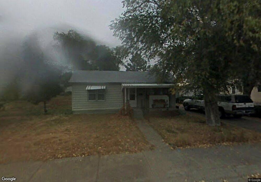
720 E 9th St Alliance, NE 69301
Estimated Value: $78,000 - $123,000
1
Bed
1
Bath
752
Sq Ft
$124/Sq Ft
Est. Value
About This Home
This home is located at 720 E 9th St, Alliance, NE 69301 and is currently estimated at $93,131, approximately $123 per square foot. 720 E 9th St is a home located in Box Butte County with nearby schools including Alliance High School, Immanuel Evangelical Lutheran School, and St. Agnes Academy.
Ownership History
Date
Name
Owned For
Owner Type
Purchase Details
Closed on
Sep 21, 2023
Sold by
Rasmussen Blaine E and Rasmussen Krisandra
Bought by
Toledo Gabino
Current Estimated Value
Purchase Details
Closed on
Dec 14, 2015
Sold by
Schefcik Ronald E
Bought by
Rasmussen Blaine and Rasmussen Krisandra
Create a Home Valuation Report for This Property
The Home Valuation Report is an in-depth analysis detailing your home's value as well as a comparison with similar homes in the area
Home Values in the Area
Average Home Value in this Area
Purchase History
We collect this data history from publicly available records. To have your information removed, we recommend requesting removal directly through your county’s website.
| Date | Buyer | Sale Price | Title Company |
|---|---|---|---|
| Toledo Gabino | $30,000 | Kunzman Title | |
| Munter Devon | $120,000 | Kunzman Title | |
| Rasmussen Blaine | -- | -- |
Source: Public Records
Tax History
| Year | Tax Paid | Tax Assessment Tax Assessment Total Assessment is a certain percentage of the fair market value that is determined by local assessors to be the total taxable value of land and additions on the property. | Land | Improvement |
|---|---|---|---|---|
| 2025 | $644 | $54,250 | $7,366 | $46,884 |
| 2024 | $618 | $49,336 | $6,696 | $42,640 |
| 2023 | $848 | $49,336 | $6,696 | $42,640 |
| 2022 | $878 | $48,234 | $6,324 | $41,910 |
| 2021 | $889 | $48,234 | $6,324 | $41,910 |
| 2020 | $887 | $48,234 | $6,324 | $41,910 |
| 2019 | $866 | $48,234 | $6,324 | $41,910 |
| 2018 | $862 | $48,234 | $6,324 | $41,910 |
| 2017 | $673 | $36,281 | $4,836 | $31,445 |
| 2016 | $666 | $36,280 | $4,835 | $31,445 |
| 2015 | $657 | $34,500 | $4,835 | $29,665 |
| 2014 | $657 | $34,501 | $4,836 | $29,665 |
Source: Public Records
Map
Nearby Homes
- 755 E 9th St
- 641 E 9th St
- 1119 Potash Ave
- 917 Missouri Ave
- 1008 Missouri Ave
- 1216 Duncan Ave
- 1404 Duncan Ave
- 223 Sunset Dr
- 112 E 11th St
- 114 W 8th St
- 1405 E 3rd St
- 122 W 4th St
- 1103 Cheyenne Ave
- 506 Cheyenne Ave
- 820 Big Horn Ave
- 1232 Cheyenne Ave
- 719 Toluca Ave
- 823 Emerson Ave
- 408 Toluca Ave
- 1228 Emerson Ave
Your Personal Tour Guide
Ask me questions while you tour the home.