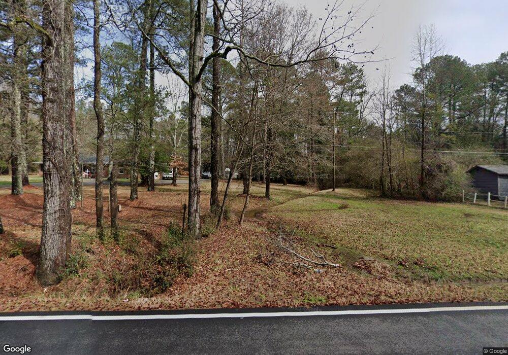
720 Harve Mathis Rd Athens, GA 30601
Estimated Value: $78,841 - $228,000
Studio
--
Bath
504
Sq Ft
$276/Sq Ft
Est. Value
About This Home
This home is located at 720 Harve Mathis Rd, Athens, GA 30601 and is currently estimated at $138,947, approximately $275 per square foot. 720 Harve Mathis Rd is a home located in Clarke County with nearby schools including Judia Jackson Harris Elementary School, Coile Middle School, and Cedar Shoals High School.
Ownership History
Date
Name
Owned For
Owner Type
Purchase Details
Closed on
Jun 6, 2002
Sold by
Moss Margaret D
Bought by
Sheridan Timothy W and Sherid Terri L
Current Estimated Value
Purchase Details
Closed on
Nov 27, 2001
Sold by
Berryman J L
Bought by
Moss Margaret D
Purchase Details
Closed on
Nov 12, 2001
Sold by
Sheridan Timothy W and Sheridan Terri L
Bought by
Moss Margaret D
Purchase Details
Closed on
Aug 28, 1999
Sold by
Sheridan Timothy W
Bought by
Moss Margaret D
Purchase Details
Closed on
Jan 12, 1999
Sold by
Scarborough John Paul
Bought by
Sheridan Timothy W
Create a Home Valuation Report for This Property
The Home Valuation Report is an in-depth analysis detailing your home's value as well as a comparison with similar homes in the area
Purchase History
| Date | Buyer | Sale Price | Title Company |
|---|---|---|---|
| Sheridan Timothy W | -- | -- | |
| Moss Margaret D | -- | -- | |
| Moss Margaret D | -- | -- | |
| Moss Margaret D | -- | -- | |
| Sheridan Timothy W | $1,000 | -- |
Source: Public Records
Tax History
| Year | Tax Paid | Tax Assessment Tax Assessment Total Assessment is a certain percentage of the fair market value that is determined by local assessors to be the total taxable value of land and additions on the property. | Land | Improvement |
|---|---|---|---|---|
| 2025 | $629 | $20,249 | $12,000 | $8,249 |
| 2024 | $629 | $20,031 | $12,000 | $8,031 |
| 2023 | $626 | $15,594 | $8,000 | $7,594 |
| 2022 | $467 | $14,648 | $8,000 | $6,648 |
| 2021 | $357 | $10,581 | $4,760 | $5,821 |
| 2020 | $348 | $10,317 | $4,760 | $5,557 |
| 2019 | $343 | $10,097 | $4,760 | $5,337 |
| 2018 | $319 | $9,404 | $4,420 | $4,984 |
| 2017 | $319 | $9,404 | $4,420 | $4,984 |
| 2016 | $319 | $9,404 | $4,420 | $4,984 |
| 2015 | $320 | $9,404 | $4,420 | $4,984 |
| 2014 | $320 | $9,404 | $4,420 | $4,984 |
Source: Public Records
Map
Nearby Homes
- 338 Virginia Ln
- 152 Wellington Dr
- 8986 Highway 29 S
- 0 Reese Ln Unit 7703910
- 0 Reese Ln Unit CL346847
- 269 Norwood Ln
- 105 Hidden Lake Ct
- 741 Harve Mathis Rd
- 540 & 542 Harve Mathis Rd
- 644 Virginia Ln
- 136 Hidden Lake Dr
- 194 Woodland Creek Place
- 300 Harve Mathis Rd
- 3013 Lawton Ln
- 226 Hidden Falls Dr
- 1361 Hull Rd
- 185 Berry Dr
- 155 Hidden Falls Dr
- 31 Rolling Woods Ln
- 149 Candlestick Dr
- 700 Harve Mathis Rd
- 740 Harve Mathis Rd
- 650 Harve Mathis Rd
- 725 Harve Mathis Rd
- 745 Harve Mathis Rd
- 644 Harve Mathis Rd
- 640 Harve Mathis Rd
- 765 Harve Mathis Rd
- 648 Harve Mathis Rd
- 715 Harve Mathis Rd
- 705 Harve Mathis Rd
- 1761 Hwy 29n
- 4045 Danielsville Rd
- 1761 Highway 29 N
- 4109 Old Danielsville Rd
- 4121 Old Danielsville Rd
- 1941 Hwy 29n
- 0 Highway 29 S Unit 3059866
- 0 Highway 29 S Unit 3059883
- 0 Highway 29 S Unit CM907899
Your Personal Tour Guide
Ask me questions while you tour the home.