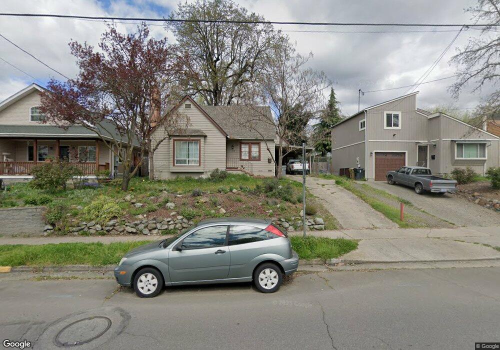
720 NE A St Grants Pass, OR 97526
Estimated Value: $308,752 - $310,000
4
Beds
1
Bath
1,381
Sq Ft
$224/Sq Ft
Est. Value
About This Home
This home is located at 720 NE A St, Grants Pass, OR 97526 and is currently estimated at $309,376, approximately $224 per square foot. 720 NE A St is a home located in Josephine County with nearby schools including Lincoln Elementary School, North Middle School, and Grants Pass High School.
Ownership History
Date
Name
Owned For
Owner Type
Purchase Details
Closed on
Feb 15, 2019
Sold by
Kelso Benjamin A
Bought by
Kelso Benjamin A and Kelso Nora
Current Estimated Value
Purchase Details
Closed on
Jun 28, 2018
Sold by
Milani Arthur A and Milani America N
Bought by
Kelso Benjamin A and Kelso Nora
Home Financials for this Owner
Home Financials are based on the most recent Mortgage that was taken out on this home.
Original Mortgage
$215,033
Interest Rate
4.12%
Mortgage Type
FHA
Create a Home Valuation Report for This Property
The Home Valuation Report is an in-depth analysis detailing your home's value as well as a comparison with similar homes in the area
Purchase History
We collect this data history from publicly available records. To have your information removed, we recommend requesting removal directly through your county’s website.
| Date | Buyer | Sale Price | Title Company |
|---|---|---|---|
| Kelso Benjamin A | $215,033 | None Available | |
| Kelso Benjamin A | $219,000 | First American Title |
Source: Public Records
Mortgage History
We collect this data history from publicly available records. To have your information removed, we recommend requesting removal directly through your county’s website.
| Date | Status | Borrower | Loan Amount |
|---|---|---|---|
| Previous Owner | Kelso Benjamin A | $215,033 |
Source: Public Records
Tax History
| Year | Tax Paid | Tax Assessment Tax Assessment Total Assessment is a certain percentage of the fair market value that is determined by local assessors to be the total taxable value of land and additions on the property. | Land | Improvement |
|---|---|---|---|---|
| 2025 | $1,740 | $133,990 | -- | -- |
| 2024 | $1,740 | $130,090 | -- | -- |
| 2023 | $1,639 | $126,310 | $0 | $0 |
| 2022 | $1,647 | $122,640 | -- | -- |
| 2021 | $1,547 | $119,070 | $0 | $0 |
| 2020 | $1,502 | $115,610 | $0 | $0 |
| 2019 | $1,459 | $112,250 | $0 | $0 |
| 2018 | $1,485 | $108,990 | $0 | $0 |
| 2017 | $1,474 | $105,820 | $0 | $0 |
| 2016 | $1,295 | $102,740 | $0 | $0 |
| 2015 | $1,243 | $99,750 | $0 | $0 |
| 2014 | $1,219 | $96,850 | $0 | $0 |
Source: Public Records
Map
Nearby Homes
- 442 NE Baker Dr
- 868 NE A St
- 791 NE Wharton Dr
- 1026 NE A St
- 930 NE Wesley Ln
- 444 NE 12th St
- 728 NW 6th St
- 1117 NE Memorial Dr
- 811 NW 5th St
- 847 NW 5th St
- 219 NE Outlook Ave
- 956 NE Beacon Dr
- 604 NW 4th St
- 1002 NW Washington Blvd
- 719 NW 3rd St
- 1415 NE Heritage Dr
- 736 NW 3rd St
- 522 SE J St Unit A & B
- 408 SE 10th St
- 440 NE Royal Dr
- 730 NE A St
- 825 NE Baker Dr
- 716 NE A St
- 804 NE A St Unit 309784
- 804 NE A St
- 725 NE Wharton Dr
- 721 NE Wharton Dr
- 731 NE Wharton Dr
- 710 NE A St
- 717 NE Wharton Dr
- 733 NE Wharton Dr
- 465 NE Baker Dr
- 711 NE Wharton Dr
- 465-467 NE Baker Dr Unit 467
- 465-467 NE Baker Dr Unit 465
- 812 NE A St
- 715 NE A St
- 708 NE A St
- 803 NE A St
- 741 NE Wharton Dr
Your Personal Tour Guide
Ask me questions while you tour the home.