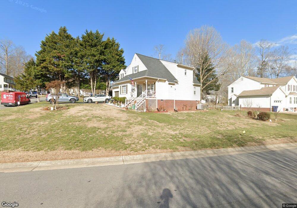
7200 Port Side Dr Midlothian, VA 23112
Estimated Value: $385,000 - $412,000
About This Home
This home is located at 7200 Port Side Dr, Midlothian, VA 23112 and is currently estimated at $394,781, approximately $241 per square foot. 7200 Port Side Dr is a home located in Chesterfield County with nearby schools including Clover Hill Elementary School, Swift Creek Middle, and Clover Hill High.
Ownership History
We collect this data history from publicly available records. To have your information removed, we recommend requesting removal directly through your county’s website.
Purchase Details
Home Financials for this Owner
Home Financials are based on the most recent Mortgage that was taken out on this home.Home Values in the Area
Average Home Value in this Area
Purchase History
We collect this data history from publicly available records. To have your information removed, we recommend requesting removal directly through your county’s website.
| Date | Buyer | Sale Price | Title Company |
|---|---|---|---|
| $133,500 | -- |
Tax History
We collect this data history from publicly available records. To have your information removed, we recommend requesting removal directly through your county’s website.
| Year | Tax Paid | Tax Assessment Tax Assessment Total Assessment is a certain percentage of the fair market value that is determined by local assessors to be the total taxable value of land and additions on the property. | Land | Improvement |
|---|---|---|---|---|
| 2026 | $3,345 | $373,000 | $61,000 | $312,000 |
| 2025 | $3,345 | $369,900 | $59,000 | $310,900 |
| 2024 | $3,317 | $355,100 | $56,000 | $299,100 |
| 2023 | $2,882 | $316,700 | $54,000 | $262,700 |
| 2022 | $2,734 | $297,200 | $52,000 | $245,200 |
| 2021 | $2,525 | $258,800 | $50,000 | $208,800 |
| 2020 | $2,459 | $258,800 | $50,000 | $208,800 |
| 2019 | $2,199 | $231,500 | $48,000 | $183,500 |
| 2018 | $2,108 | $221,900 | $47,000 | $174,900 |
| 2017 | $1,963 | $204,500 | $44,000 | $160,500 |
| 2016 | $1,851 | $192,800 | $43,000 | $149,800 |
| 2015 | $1,841 | $189,200 | $42,000 | $147,200 |
| 2014 | $1,778 | $182,600 | $41,000 | $141,600 |
Map
- 6806 Full Rack Cir
- 6904 Full Rack Place
- 7161 Velvet Antler Dr
- 6904 Pointer Ridge Rd
- 7113 Deer Run Ln
- 13325 Master Stag Dr
- 36 Spinnaker Cove Dr
- 6002 Harbourwood Ct
- 7405 Kentucky Derby Dr
- 13325 Thornridge Ln
- 5900 Harbourwood Place
- 13818 Gallant Fox Dr
- 12912 Deep Well Rd
- 7510 Winning Colors Place
- 13201 Court Ridge Rd
- 5102 Terrace Arbor Cir
- 7601 Secretariat Dr
- 13315 Farm Crest Ct
- 7719 Kentucky Derby Dr
- 7731 Flag Tail Dr
- 7206 Port Side Dr
- 6500 Harbourside Dr
- 7130 Port Side Dr
- 6600 Harbourside Dr
- 6513 Ships Watch Ln
- 6501 Harbourside Dr
- 6418 Harbourside Dr
- 6507 Ships Watch Ln
- 7207 Port Side Dr
- 6601 Harbourside Dr
- 7124 Port Side Dr
- 7213 Port Side Dr
- 7119 Harbourside Ct
- 6501 Ships Watch Ln
- 6412 Harbourside Dr
- 7125 Port Side Dr
- 7200 Full Rack Dr
- 7200 Full Rack Dr Unit 2
- 7118 Port Side Dr
- 7124 Harbourside Ct
Ask me questions while you tour the home.