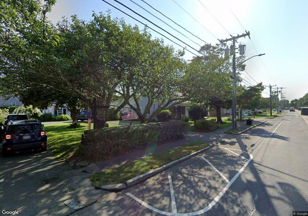
721 Main St Harwich, MA 2645
Harwich Center NeighborhoodEstimated Value: $784,112
About This Home
This home is located at 721 Main St, Harwich, MA 2645 and is currently estimated at $784,112, approximately $316 per square foot. 721 Main St is a home located in Barnstable County with nearby schools including Harwich Elementary School, Chatham Elementary School, and Monomoy Regional Middle School.
Ownership History
We collect this data history from publicly available records. To have your information removed, we recommend requesting removal directly through your county’s website.
Purchase Details
Home Financials for this Owner
Home Financials are based on the most recent Mortgage that was taken out on this home.Purchase Details
Home Values in the Area
Average Home Value in this Area
Purchase History
We collect this data history from publicly available records. To have your information removed, we recommend requesting removal directly through your county’s website.
| Date | Buyer | Sale Price | Title Company |
|---|---|---|---|
| $450,000 | None Available | ||
| $416,000 | -- | ||
| $416,000 | -- |
Mortgage History
We collect this data history from publicly available records. To have your information removed, we recommend requesting removal directly through your county’s website.
| Date | Status | Borrower | Loan Amount |
|---|---|---|---|
| Open | $250,000 |
Tax History
We collect this data history from publicly available records. To have your information removed, we recommend requesting removal directly through your county’s website.
| Year | Tax Paid | Tax Assessment Tax Assessment Total Assessment is a certain percentage of the fair market value that is determined by local assessors to be the total taxable value of land and additions on the property. | Land | Improvement |
|---|---|---|---|---|
| 2025 | $3,537 | $598,500 | $216,900 | $381,600 |
| 2024 | $2,896 | $480,200 | $208,500 | $271,700 |
| 2023 | $3,102 | $467,200 | $198,600 | $268,600 |
| 2022 | $3,463 | $427,000 | $168,600 | $258,400 |
| 2021 | $3,064 | $356,300 | $157,800 | $198,500 |
| 2020 | $2,960 | $339,100 | $156,000 | $183,100 |
| 2019 | $2,890 | $333,300 | $149,900 | $183,400 |
| 2018 | $3,026 | $333,800 | $149,900 | $183,900 |
| 2017 | $2,938 | $327,500 | $142,700 | $184,800 |
| 2016 | $2,950 | $325,200 | $139,900 | $185,300 |
| 2015 | $2,897 | $323,000 | $137,100 | $185,900 |
| 2014 | $2,799 | $319,200 | $133,100 | $186,100 |
Map
- 7 Park St
- 3 Crestview Dr
- 1 Baddeck St
- 9 Jason Ln
- 8 Oakleaf Cir
- 18 Old Campground
- 10 Notre Dame Ave
- 49 Doane Rd
- 37 Doane Rd
- 53 Pleasant St
- 14 Harold St Unit 14E
- 14 Harold St Unit 2F
- 14 Harold St Unit 6B
- 14 Harold St Unit 12B
- 14 Harold St Unit 12B
- 14 Harold St Unit 14E
- 528 Main St Unit 2, 3
- 724 Route 28 Unit 2D
- 1025 Orleans-Harwich Rd
- 601 Route 28 Unit 108
- 719 Main St
- 727 Main St
- 3 Cornelias Way
- 4 Cornelias Way
- 2283-2285 Head of The Bay Rd
- 114 Parallel St
- 114 Parallel St Unit XXX
- 110 Parallel St
- 715 Main St
- 116 Parallel St
- 729 Main St
- 724 Main St
- 728 Main St
- 338 Bank St
- 102 Parallel St
- 718 Main St
- 100 Parallel St
- 711 Main St
- 107 Parallel St
- 712 Main St
Ask me questions while you tour the home.