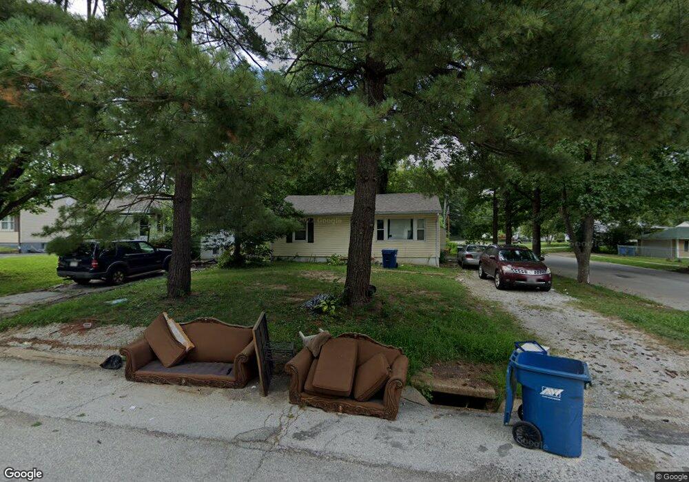
721 Robert Ave Ferguson, MO 63135
Estimated Value: $86,000 - $123,000
2
Beds
1
Bath
904
Sq Ft
$110/Sq Ft
Est. Value
About This Home
This home is located at 721 Robert Ave, Ferguson, MO 63135 and is currently estimated at $99,276, approximately $109 per square foot. 721 Robert Ave is a home located in St. Louis County with nearby schools including Lee Hamilton Elementary School, Ferguson Middle School, and McCluer High School.
Ownership History
Date
Name
Owned For
Owner Type
Purchase Details
Closed on
Oct 1, 2001
Sold by
Tinker Cecil and Tinker Joyce
Bought by
Petre Mark
Current Estimated Value
Home Financials for this Owner
Home Financials are based on the most recent Mortgage that was taken out on this home.
Original Mortgage
$25,695
Interest Rate
7.01%
Mortgage Type
Seller Take Back
Create a Home Valuation Report for This Property
The Home Valuation Report is an in-depth analysis detailing your home's value as well as a comparison with similar homes in the area
Home Values in the Area
Average Home Value in this Area
Purchase History
| Date | Buyer | Sale Price | Title Company |
|---|---|---|---|
| Petre Mark | $25,695 | -- |
Source: Public Records
Mortgage History
| Date | Status | Borrower | Loan Amount |
|---|---|---|---|
| Previous Owner | Petre Mark | $25,695 |
Source: Public Records
Tax History
| Year | Tax Paid | Tax Assessment Tax Assessment Total Assessment is a certain percentage of the fair market value that is determined by local assessors to be the total taxable value of land and additions on the property. | Land | Improvement |
|---|---|---|---|---|
| 2025 | $972 | $18,510 | $2,380 | $16,130 |
| 2024 | $972 | $13,250 | $1,580 | $11,670 |
| 2023 | $972 | $13,250 | $1,580 | $11,670 |
| 2022 | $1,119 | $13,420 | $2,720 | $10,700 |
| 2021 | $1,083 | $13,420 | $2,720 | $10,700 |
| 2020 | $1,195 | $13,340 | $2,760 | $10,580 |
| 2019 | $1,172 | $13,340 | $2,760 | $10,580 |
| 2018 | $996 | $10,070 | $2,390 | $7,680 |
| 2017 | $977 | $10,070 | $2,390 | $7,680 |
| 2016 | $655 | $6,550 | $2,010 | $4,540 |
| 2015 | $659 | $6,550 | $2,010 | $4,540 |
| 2014 | $668 | $6,560 | $2,470 | $4,090 |
Source: Public Records
Map
Nearby Homes
- 512 Coppinger Dr
- 631 Robert Ave
- 919 Robert Ave
- 705 Palace Ct
- 511 Averill Ave
- 1007 Hutton Place
- 506 Averill Ave
- 308 Superior Dr
- 820 N Elizabeth Ave
- 700 N Elizabeth Ave
- 1102 Thatcher Ave
- 212 Millman Dr
- 1051 Smith Ave
- 1011 Geringer Ct
- 410 Robert Ave
- 332 Argent Ave
- 400 Royal Ave
- 6 Sandringham Ln
- 7 Bromley Dr
- 29 Fenwick Dr
- 717 Robert Ave
- 805 Robert Ave
- 713 Robert Ave
- 625 Coppinger Dr
- 809 Robert Ave
- 709 Robert Ave
- 543 Coppinger Dr
- 624 Coppinger Dr
- 813 Robert Ave
- 539 Coppinger Dr
- 808 Hutton Place
- 544 Ames Place
- 540 Coppinger Dr
- 817 Robert Ave
- 701 Robert Ave
- 535 Coppinger Dr
- 540 Ames Place
- 814 Hutton Place
- 536 Coppinger Dr
- 531 Coppinger Dr
Your Personal Tour Guide
Ask me questions while you tour the home.