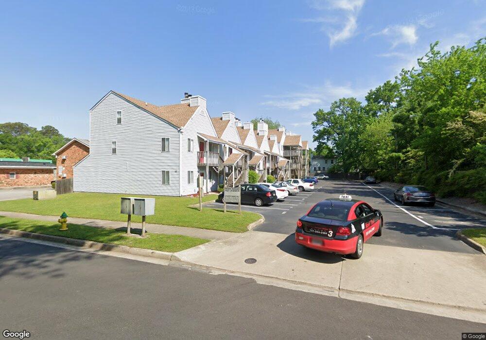
722 Lesner Ave Unit 13 Norfolk, VA 23518
Colonial Heights NeighborhoodEstimated Value: $136,000 - $165,000
About This Home
This home is located at 722 Lesner Ave Unit 13, Norfolk, VA 23518 and is currently estimated at $149,237, approximately $154 per square foot. 722 Lesner Ave Unit 13 is a home located in Norfolk City with nearby schools including Crossroads School, Norview Middle School, and Norview High School.
Ownership History
We collect this data history from publicly available records. To have your information removed, we recommend requesting removal directly through your county’s website.
Purchase Details
Home Financials for this Owner
Home Financials are based on the most recent Mortgage that was taken out on this home.Home Values in the Area
Average Home Value in this Area
Purchase History
We collect this data history from publicly available records. To have your information removed, we recommend requesting removal directly through your county’s website.
| Date | Buyer | Sale Price | Title Company |
|---|---|---|---|
| $135,000 | Stewart Title |
Mortgage History
We collect this data history from publicly available records. To have your information removed, we recommend requesting removal directly through your county’s website.
| Date | Status | Borrower | Loan Amount |
|---|---|---|---|
| Open | $137,902 |
Tax History
We collect this data history from publicly available records. To have your information removed, we recommend requesting removal directly through your county’s website.
| Year | Tax Paid | Tax Assessment Tax Assessment Total Assessment is a certain percentage of the fair market value that is determined by local assessors to be the total taxable value of land and additions on the property. | Land | Improvement |
|---|---|---|---|---|
| 2025 | $1,568 | $127,500 | $16,500 | $111,000 |
| 2024 | $1,499 | $121,900 | $16,500 | $105,400 |
| 2023 | $1,471 | $117,700 | $16,500 | $101,200 |
| 2022 | $1,524 | $121,900 | $16,500 | $105,400 |
| 2021 | $1,319 | $105,500 | $16,500 | $89,000 |
| 2020 | $1,198 | $95,800 | $6,800 | $89,000 |
| 2019 | $1,166 | $93,300 | $6,800 | $86,500 |
| 2018 | $1,100 | $88,000 | $6,800 | $81,200 |
| 2017 | $1,127 | $98,000 | $6,800 | $91,200 |
| 2016 | $1,251 | $110,800 | $6,700 | $104,100 |
| 2015 | $1,268 | $110,800 | $6,700 | $104,100 |
| 2014 | $1,268 | $110,800 | $6,700 | $104,100 |
Map
- 750 Lesner Ave
- 8209 Tabor Ct
- 8145 Colin Dr
- 610 Burksdale Rd
- 8215 Mercer Dr
- 8227 Andrew Ln
- 919 Sheppard Ave
- 725 Leonard Rd
- 547 Leonard Rd
- 8223 McCloy Rd
- 8530 Tidewater Dr Unit 202
- 8530 Tidewater Dr Unit 314
- 508 Leonard Rd
- 8228 Edwin Dr
- 8215 Edwin Dr
- 542 Hyde Park Rd
- 8045 Merritt St
- 1117 Evelyn St
- 1128 Tallwood St
- 8228 Chesapeake Blvd
- 740 Lesner Ave
- 724 Lesner Ave
- 736 Lesner Ave
- 736 Lesner Ave Unit B
- 736 Lesner Ave Unit A
- 744 Lesner Ave
- 735 Marvin Ave
- 745 Marvin Ave
- 751 Marvin Ave
- 722 Lesner Ave Unit 107
- 722 Lesner Ave Unit 6
- 722 Lesner Ave Unit 9
- 722 Lesner Ave Unit 16
- 722 Lesner Ave Unit 15
- 722 Lesner Ave Unit 14
- 722 Lesner Ave Unit 18
- 722 Lesner Ave Unit 17
- 722 Lesner Ave Unit 12
- 722 Lesner Ave Unit 11
- 722 Lesner Ave Unit 10
Ask me questions while you tour the home.