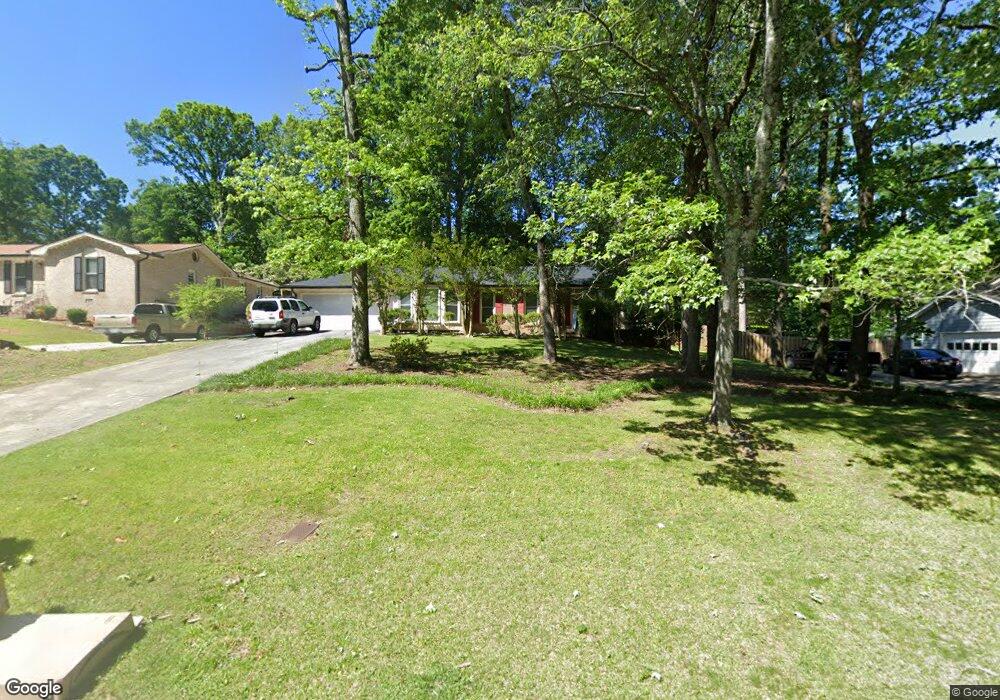
722 Mountainbrooke Cir Stone Mountain, GA 30087
Estimated Value: $302,000 - $369,000
About This Home
This home is located at 722 Mountainbrooke Cir, Stone Mountain, GA 30087 and is currently estimated at $330,915, approximately $187 per square foot. 722 Mountainbrooke Cir is a home located in Gwinnett County with nearby schools including Camp Creek Elementary School, Trickum Middle School, and Parkview High School.
Ownership History
We collect this data history from publicly available records. To have your information removed, we recommend requesting removal directly through your county’s website.
Purchase Details
Home Financials for this Owner
Home Financials are based on the most recent Mortgage that was taken out on this home.Purchase Details
Purchase Details
Home Financials for this Owner
Home Financials are based on the most recent Mortgage that was taken out on this home.Home Values in the Area
Average Home Value in this Area
Purchase History
We collect this data history from publicly available records. To have your information removed, we recommend requesting removal directly through your county’s website.
| Date | Buyer | Sale Price | Title Company |
|---|---|---|---|
| $128,000 | -- | ||
| $149,850 | -- | ||
| $183,000 | -- |
Mortgage History
We collect this data history from publicly available records. To have your information removed, we recommend requesting removal directly through your county’s website.
| Date | Status | Borrower | Loan Amount |
|---|---|---|---|
| Open | $115,200 | ||
| Previous Owner | $174,650 |
Tax History
We collect this data history from publicly available records. To have your information removed, we recommend requesting removal directly through your county’s website.
| Year | Tax Paid | Tax Assessment Tax Assessment Total Assessment is a certain percentage of the fair market value that is determined by local assessors to be the total taxable value of land and additions on the property. | Land | Improvement |
|---|---|---|---|---|
| 2025 | $4,784 | $124,000 | $22,200 | $101,800 |
| 2024 | $3,940 | $128,040 | $22,200 | $105,840 |
| 2023 | $3,940 | $98,720 | $22,400 | $76,320 |
| 2022 | $3,880 | $98,720 | $22,400 | $76,320 |
| 2021 | $3,406 | $84,280 | $19,600 | $64,680 |
| 2020 | $3,148 | $76,680 | $15,200 | $61,480 |
| 2019 | $2,757 | $68,720 | $15,200 | $53,520 |
| 2018 | $2,756 | $68,720 | $15,200 | $53,520 |
| 2016 | $2,053 | $48,160 | $8,000 | $40,160 |
| 2015 | $2,072 | $48,160 | $8,000 | $40,160 |
| 2014 | -- | $36,120 | $8,000 | $28,120 |
Map
- 737 Mountainbrooke Cir Unit 4
- 771/761 Mountainbrooke Cir SW
- 792 Mountainbrooke Cir
- 5657 Mountainbrooke Ct
- 5572 Lilburn Stone Mountain Rd
- 930 Old Tucker Rd
- 865 Old Tucker Rd
- 614 Old Tucker Rd
- 5424 Wedgewood Ct SW
- 5445 Summer Cove Dr
- 881 Rockbridge Rd SW
- 5623 Crestwood Dr
- 5794 Vantage Ct Unit 1
- 5464 Breathitt Dr SW
- 5641 Stone Ct Unit 1
- 5382 Lanford Springs Ct SW
- 1042 Mountain Woods Ct
- 5740 Grove Place Crossing SW Unit III
- 2161 Minute Ct
- 5298 Miller Rd SW
- 712 Mountainbrooke Cir
- 732 Mountainbrooke Cir
- 844 Rocky Ridge Ct
- 702 Mountainbrooke Cir
- 742 Mountainbrooke Cir
- 711 Mountainbrooke Cir Unit 4
- 717 Mountainbrooke Cir
- 717 Mountainbrooke Cir
- 752 Mountainbrooke Cir
- 701 Mountainbrooke Cir
- 840 Rocky Ridge Ct
- 692 Mountainbrooke Cir
- 691 Mountainbrooke Cir
- 762 Mountainbrooke Cir
- 835 Rocky Ridge Ct
- 681 Mountainbrooke Cir
- 682 Mountainbrooke Cir
- 766 Mountainbrooke Cir Unit 4
- 731 Mountainbrooke Cir
- 5607 Mountainbrooke Ct
Ask me questions while you tour the home.