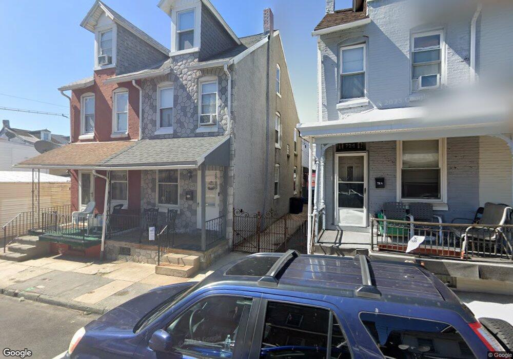
722 Pear St Reading, PA 19601
Northwest Reading NeighborhoodEstimated Value: $127,000 - $174,000
2
Beds
1
Bath
1,088
Sq Ft
$135/Sq Ft
Est. Value
About This Home
This home is located at 722 Pear St, Reading, PA 19601 and is currently estimated at $146,438, approximately $134 per square foot. 722 Pear St is a home located in Berks County with nearby schools including Riverside Elementary School, Northwest Middle School, and Reading Senior High School.
Ownership History
Date
Name
Owned For
Owner Type
Purchase Details
Closed on
May 20, 2003
Sold by
Stamus George Louis and Stamus Belinda L
Bought by
Albino Wandaliz
Current Estimated Value
Home Financials for this Owner
Home Financials are based on the most recent Mortgage that was taken out on this home.
Original Mortgage
$23,765
Outstanding Balance
$10,133
Interest Rate
5.53%
Mortgage Type
Purchase Money Mortgage
Estimated Equity
$136,305
Create a Home Valuation Report for This Property
The Home Valuation Report is an in-depth analysis detailing your home's value as well as a comparison with similar homes in the area
Home Values in the Area
Average Home Value in this Area
Purchase History
| Date | Buyer | Sale Price | Title Company |
|---|---|---|---|
| Albino Wandaliz | $24,500 | -- |
Source: Public Records
Mortgage History
| Date | Status | Borrower | Loan Amount |
|---|---|---|---|
| Open | Albino Wandaliz | $23,765 | |
| Closed | Albino Wandaliz | $2,697 |
Source: Public Records
Tax History
| Year | Tax Paid | Tax Assessment Tax Assessment Total Assessment is a certain percentage of the fair market value that is determined by local assessors to be the total taxable value of land and additions on the property. | Land | Improvement |
|---|---|---|---|---|
| 2025 | $955 | $35,200 | $9,600 | $25,600 |
| 2024 | $1,563 | $35,200 | $9,600 | $25,600 |
| 2023 | $1,539 | $35,200 | $9,600 | $25,600 |
| 2022 | $1,539 | $35,200 | $9,600 | $25,600 |
| 2021 | $1,539 | $35,200 | $9,600 | $25,600 |
| 2020 | $1,523 | $35,200 | $9,600 | $25,600 |
| 2019 | $1,523 | $35,200 | $9,600 | $25,600 |
| 2018 | $1,523 | $35,200 | $9,600 | $25,600 |
| 2017 | $1,513 | $35,200 | $9,600 | $25,600 |
| 2016 | $865 | $35,200 | $9,600 | $25,600 |
| 2015 | $865 | $35,200 | $9,600 | $25,600 |
| 2014 | $796 | $35,200 | $9,600 | $25,600 |
Source: Public Records
Map
Nearby Homes
- 820 N 2nd St
- 723 Thorn St
- 131 W Greenwich St
- 815 Weiser St
- 119 Windsor St
- 163 W Greenwich St
- 115 Windsor St
- 233 Hudson St
- 235 Hudson St
- 739 Lincoln St
- 515 Schuylkill Ave
- 423 N 2nd St
- 413 Rosenthal St
- 456 Douglass St
- 716 Schuylkill Ave
- 122 Robeson St
- 341 Pear St
- 624 Gordon St
- 1102 N Front St
- 327 W Windsor St
Your Personal Tour Guide
Ask me questions while you tour the home.