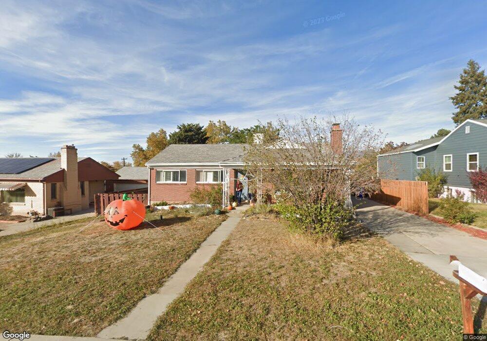
722 W 3500 S Bountiful, UT 84010
Bountiful AreaEstimated Value: $513,000 - $569,664
About This Home
This home is located at 722 W 3500 S, Bountiful, UT 84010 and is currently estimated at $532,416, approximately $239 per square foot. 722 W 3500 S is a home located in Davis County with nearby schools including Adelaide School, South Davis Junior High School, and Woods Cross High School.
Ownership History
We collect this data history from publicly available records. To have your information removed, we recommend requesting removal directly through your county’s website.
Purchase Details
Purchase Details
Purchase Details
Home Financials for this Owner
Home Financials are based on the most recent Mortgage that was taken out on this home.Purchase Details
Home Financials for this Owner
Home Financials are based on the most recent Mortgage that was taken out on this home.Purchase Details
Home Financials for this Owner
Home Financials are based on the most recent Mortgage that was taken out on this home.Purchase Details
Purchase History
We collect this data history from publicly available records. To have your information removed, we recommend requesting removal directly through your county’s website.
| Date | Buyer | Sale Price | Title Company |
|---|---|---|---|
| -- | None Listed On Document | ||
| -- | -- | ||
| -- | Masters Title Insura | ||
| -- | First America Title | ||
| -- | First American Title | ||
| -- | None Available |
Mortgage History
We collect this data history from publicly available records. To have your information removed, we recommend requesting removal directly through your county’s website.
| Date | Status | Borrower | Loan Amount |
|---|---|---|---|
| Open | $402,953 | ||
| Previous Owner | $407,000 | ||
| Previous Owner | $362,506 | ||
| Previous Owner | $172,900 |
Tax History
We collect this data history from publicly available records. To have your information removed, we recommend requesting removal directly through your county’s website.
| Year | Tax Paid | Tax Assessment Tax Assessment Total Assessment is a certain percentage of the fair market value that is determined by local assessors to be the total taxable value of land and additions on the property. | Land | Improvement |
|---|---|---|---|---|
| 2025 | $3,204 | $292,051 | $140,322 | $151,729 |
| 2024 | $2,917 | $269,500 | $127,857 | $141,643 |
| 2023 | $2,822 | $470,000 | $232,945 | $237,055 |
| 2022 | $2,825 | $272,800 | $126,591 | $146,209 |
| 2021 | $2,632 | $386,000 | $165,770 | $220,230 |
| 2020 | $2,102 | $299,000 | $140,661 | $158,339 |
| 2019 | $2,271 | $293,000 | $142,287 | $150,713 |
| 2018 | $2,041 | $269,000 | $139,336 | $129,664 |
| 2016 | $1,603 | $122,815 | $46,708 | $76,107 |
| 2015 | $1,551 | $112,805 | $46,939 | $65,866 |
| 2014 | $333 | $107,600 | $46,939 | $60,661 |
| 2013 | -- | $116,955 | $41,360 | $75,595 |
Map
- 3341 S 675 W
- 370 Merlin St Unit 308
- 683 Merlin St Unit 4630
- 257 Guenevere St Unit 211
- 620 N Orchard Dr Unit 31
- 620 N Orchard Dr Unit 45
- 889 W 3600 S
- 274 Galahad St Unit 245
- 603 Sagramore St
- 562 Lancelot Dr Unit 60
- 286 Lionel St Unit 381
- 3268 Plum Tree Ln Unit 13
- 190 Nimue Cir
- 581 Compass Cir
- 173 Pellinore St Unit 101
- 410 N 175 E
- 3926 S 850 W
- 256 E Kirsten Ln Unit 142
- 159 Wilson Rd
- 298 Percival St Unit 354
Ask me questions while you tour the home.