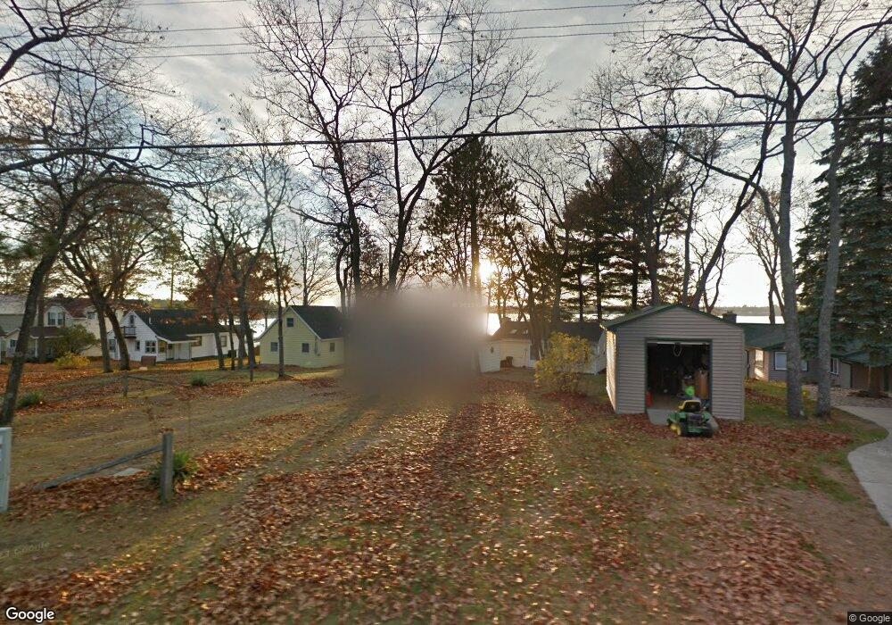
7223 Loud Dr Oscoda, MI 48750
Estimated Value: $144,000 - $234,000
3
Beds
1
Bath
680
Sq Ft
$254/Sq Ft
Est. Value
About This Home
This home is located at 7223 Loud Dr, Oscoda, MI 48750 and is currently estimated at $172,432, approximately $253 per square foot. 7223 Loud Dr is a home located in Iosco County with nearby schools including Richardson Elementary School and Oscoda Area High School.
Ownership History
Date
Name
Owned For
Owner Type
Purchase Details
Closed on
Oct 17, 2023
Sold by
Raymond Susan Mcnelis
Bought by
Raymond Susan Mcnelis and Sanborn Kelly Ann
Current Estimated Value
Purchase Details
Closed on
Jul 5, 2023
Sold by
Raymond Mitchell Arthur and Raymond Susan Mcnelis
Bought by
Raymond Susan Mcnelis
Purchase Details
Closed on
Dec 2, 2014
Sold by
Steven Steven and Glombowski Karen
Bought by
Raymond Mitchell Arthur and Mcnelis Raymond Susan
Home Financials for this Owner
Home Financials are based on the most recent Mortgage that was taken out on this home.
Original Mortgage
$65,000
Interest Rate
3.99%
Mortgage Type
New Conventional
Create a Home Valuation Report for This Property
The Home Valuation Report is an in-depth analysis detailing your home's value as well as a comparison with similar homes in the area
Home Values in the Area
Average Home Value in this Area
Purchase History
| Date | Buyer | Sale Price | Title Company |
|---|---|---|---|
| Raymond Susan Mcnelis | -- | None Listed On Document | |
| Raymond Susan Mcnelis | -- | None Listed On Document | |
| Raymond Mitchell Arthur | $86,000 | Landmark Title Corp |
Source: Public Records
Mortgage History
| Date | Status | Borrower | Loan Amount |
|---|---|---|---|
| Previous Owner | Raymond Mitchell Arthur | $65,000 |
Source: Public Records
Tax History
| Year | Tax Paid | Tax Assessment Tax Assessment Total Assessment is a certain percentage of the fair market value that is determined by local assessors to be the total taxable value of land and additions on the property. | Land | Improvement |
|---|---|---|---|---|
| 2025 | $1,357 | $63,500 | $63,500 | $0 |
| 2024 | $1,815 | $50,600 | $0 | $0 |
| 2023 | $1,200 | $43,300 | $43,300 | $0 |
| 2022 | $1,700 | $40,200 | $40,200 | $0 |
| 2021 | $1,654 | $37,800 | $37,800 | $0 |
| 2020 | $1,607 | $36,500 | $36,500 | $0 |
| 2019 | $1,545 | $37,700 | $37,700 | $0 |
| 2018 | $1,534 | $33,900 | $33,900 | $0 |
| 2017 | $1,424 | $34,000 | $34,000 | $0 |
| 2016 | $1,378 | $34,000 | $0 | $0 |
| 2015 | -- | $32,900 | $0 | $0 |
| 2014 | -- | $33,900 | $0 | $0 |
| 2013 | -- | $34,900 | $0 | $0 |
Source: Public Records
Map
Nearby Homes
- 7050 Loud Dr
- 7020 Loud Dr
- Lot 236 Devonshire Way
- Greenbriar Rd
- 0 Deerfield Way
- 0 Oakridge Dr Unit 25062948
- 7503 Westwood Dr
- 7484 Cedar Lake Rd
- Lot 694 Huntington Dr
- 7481 E Cedar Lake Dr
- 6732 Cedar Lake Rd
- 0 Arrowhead Dr Unit 1943025
- V/L Cedar Brook Dr
- 0 Cedar Brook Dr
- Lot 876 Cedar Brook Dr
- V/L Kingswood Ln
- 4738 Willow Bend Rd
- 4735 Williams St
- 7612 Huntington Dr
- 7941 E Cedar Lake Dr
Your Personal Tour Guide
Ask me questions while you tour the home.