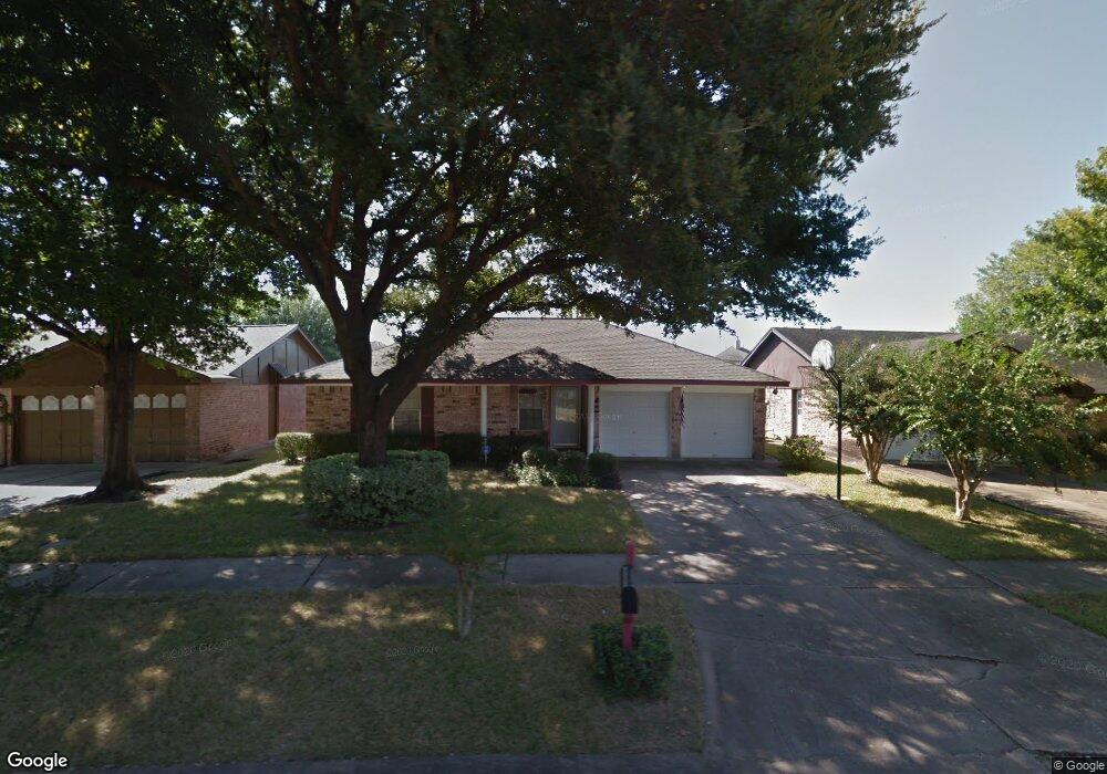
7227 Brook Stone Dr Houston, TX 77040
Greater Inwood NeighborhoodEstimated Value: $182,000 - $237,000
3
Beds
2
Baths
1,166
Sq Ft
$172/Sq Ft
Est. Value
About This Home
This home is located at 7227 Brook Stone Dr, Houston, TX 77040 and is currently estimated at $200,327, approximately $171 per square foot. 7227 Brook Stone Dr is a home located in Harris County with nearby schools including Holbrook Elementary School, Dean Middle School, and Jersey Village High School.
Ownership History
Date
Name
Owned For
Owner Type
Purchase Details
Closed on
Sep 7, 1993
Sold by
Daring John Allen and Bienski Catherine M
Bought by
Demny Mark David and Demny Theresa Lynne
Current Estimated Value
Home Financials for this Owner
Home Financials are based on the most recent Mortgage that was taken out on this home.
Original Mortgage
$54,732
Interest Rate
7.19%
Mortgage Type
FHA
Create a Home Valuation Report for This Property
The Home Valuation Report is an in-depth analysis detailing your home's value as well as a comparison with similar homes in the area
Home Values in the Area
Average Home Value in this Area
Purchase History
| Date | Buyer | Sale Price | Title Company |
|---|---|---|---|
| Demny Mark David | -- | -- |
Source: Public Records
Mortgage History
| Date | Status | Borrower | Loan Amount |
|---|---|---|---|
| Closed | Demny Mark David | $54,732 |
Source: Public Records
Tax History
| Year | Tax Paid | Tax Assessment Tax Assessment Total Assessment is a certain percentage of the fair market value that is determined by local assessors to be the total taxable value of land and additions on the property. | Land | Improvement |
|---|---|---|---|---|
| 2025 | $1,777 | $154,683 | $60,348 | $94,335 |
| 2024 | $1,777 | $191,000 | $60,348 | $130,652 |
| 2023 | $1,777 | $192,293 | $60,348 | $131,945 |
| 2022 | $3,127 | $159,440 | $50,397 | $109,043 |
| 2021 | $3,471 | $140,835 | $50,397 | $90,438 |
| 2020 | $3,251 | $143,870 | $35,640 | $108,230 |
| 2019 | $3,076 | $111,000 | $21,384 | $89,616 |
| 2018 | $1,926 | $107,000 | $21,384 | $85,616 |
| 2017 | $2,838 | $107,000 | $21,384 | $85,616 |
| 2016 | $2,580 | $109,613 | $21,384 | $88,229 |
| 2015 | $1,529 | $103,677 | $17,820 | $85,857 |
| 2014 | $1,529 | $77,066 | $17,820 | $59,246 |
Source: Public Records
Map
Nearby Homes
- 7218 Stonegate Dr
- 8610 Scaup Dr
- 8902 Landwood Dr
- 8703 Twisting Vine Ln
- 7007 Brookfir Ln
- 7211 Shady Arbor Ln
- 9006 Stone Brook Ln
- 7282 Shady Corners Ln
- 8602 Gander Bayshore Ln
- 7622 Williams St
- 6407 Deirdre Anne Dr
- 7603 Vernwood St
- 9410 Deanwood St
- 7718 Breezeway St
- 7627 Kellwood Dr
- 6403 Acorn Forest Dr
- 6406 Tall Willow Dr
- 8006 Oakwood Forest Dr
- 7618 Garsee Dr
- 9527 Vanwood St
- 7223 Brook Stone Dr
- 7231 Brook Stone Dr
- 3406-3412 Brook Stone Dr
- 3406-3419 Brook Stone Dr
- 7219 Brook Stone Dr
- 7235 Brook Stone Dr
- 7222 Brook Stone Dr
- 7215 Brook Stone Dr
- 7239 Brook Stone Dr
- 7230 Brook Stone Dr
- 7218 Brook Stone Dr
- 7254 Caracara Dr
- 7250 Caracara Dr
- 7258 Caracara Dr
- 7246 Caracara Dr
- 7234 Brook Stone Dr
- 7262 Caracara Dr
- 7214 Brook Stone Dr
- 7211 Brook Stone Dr
- 7243 Brook Stone Dr
Your Personal Tour Guide
Ask me questions while you tour the home.