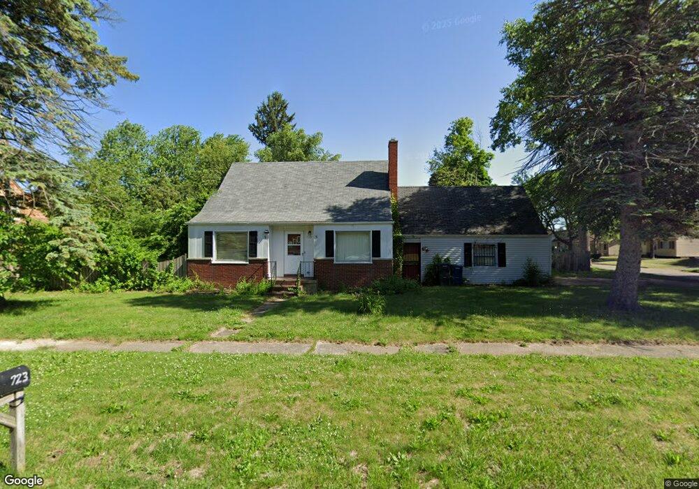
723 Algonquin Ave Flint, MI 48507
Circle Neighborhood NeighborhoodEstimated Value: $93,078 - $134,000
3
Beds
1
Bath
1,086
Sq Ft
$98/Sq Ft
Est. Value
About This Home
This home is located at 723 Algonquin Ave, Flint, MI 48507 and is currently estimated at $106,270, approximately $97 per square foot. 723 Algonquin Ave is a home located in Genesee County with nearby schools including Freeman Elementary School, Flint Southwestern Classical Academy, and Burton Glen Charter Academy.
Ownership History
Date
Name
Owned For
Owner Type
Purchase Details
Closed on
Oct 2, 2002
Sold by
Va
Bought by
Ross Albert E and Ross Carrie R
Current Estimated Value
Purchase Details
Closed on
Feb 4, 2002
Sold by
Countrywide Home Loans Inc
Bought by
Va
Purchase Details
Closed on
Jan 16, 2002
Sold by
Abdella Edward S and Abdella Brandi
Bought by
Countrywide Home Loans Inc
Purchase Details
Closed on
Nov 10, 1999
Sold by
Hautala P J
Bought by
Abdella Edward S and Abdella Brandi A
Create a Home Valuation Report for This Property
The Home Valuation Report is an in-depth analysis detailing your home's value as well as a comparison with similar homes in the area
Home Values in the Area
Average Home Value in this Area
Purchase History
| Date | Buyer | Sale Price | Title Company |
|---|---|---|---|
| Ross Albert E | -- | Guaranty Title | |
| Va | -- | -- | |
| Countrywide Home Loans Inc | $74,911 | -- | |
| Abdella Edward S | $77,000 | Sargents Title Company |
Source: Public Records
Tax History
| Year | Tax Paid | Tax Assessment Tax Assessment Total Assessment is a certain percentage of the fair market value that is determined by local assessors to be the total taxable value of land and additions on the property. | Land | Improvement |
|---|---|---|---|---|
| 2025 | $1,218 | $42,400 | $0 | $0 |
| 2024 | $1,095 | $37,900 | $0 | $0 |
| 2023 | $1,071 | $30,000 | $0 | $0 |
| 2022 | $0 | $25,500 | $0 | $0 |
| 2021 | $1,119 | $24,400 | $0 | $0 |
| 2020 | $1,001 | $18,800 | $0 | $0 |
| 2019 | $1,216 | $15,200 | $0 | $0 |
| 2018 | $1,926 | $16,600 | $0 | $0 |
| 2017 | $1,065 | $0 | $0 | $0 |
| 2016 | $1,058 | $0 | $0 | $0 |
| 2015 | -- | $0 | $0 | $0 |
| 2014 | -- | $0 | $0 | $0 |
| 2012 | -- | $23,800 | $0 | $0 |
Source: Public Records
Map
Nearby Homes
- 3505 Comanche Ave
- 720 Algonquin Ave
- 630 Buckingham Ave
- 621 Burroughs Ave
- 3110 Menominee Ave
- 2910 Shawnee Ave
- 3009 Menominee Ave
- 4126 Circle Dr
- 3056 Shaw St
- 420 Burroughs Ave
- 366 E Atherton Rd
- 4127 Custer Ave
- 617 McKeighan Ave
- 4424 Cheyenne Ave
- 352 Buckingham Ave
- 1030 McKeighan Ave
- 326 Burroughs Ave
- 530 McKeighan Ave
- 3222 Chambers St
- 3193 Myrton St
- 3514 Dearborn Ave
- 3506 Dearborn Ave
- 719 Algonquin Ave
- 817 Algonquin Ave
- 3602 Dearborn Ave
- 3513 Dearborn Ave
- 3502 Dearborn Ave
- 3507 Dearborn Ave
- 3503 Dearborn Ave
- 716 Algonquin Ave
- 3601 Dearborn Ave
- 709 Algonquin Ave
- 807 Algonquin Ave
- 3501 Dearborn Ave
- 3616 Dearborn Ave
- 3607 Dearborn Ave
- 710 Algonquin Ave
- 3518 Comanche Ave
- 707 Algonquin Ave
- 3514 Comanche Ave
Your Personal Tour Guide
Ask me questions while you tour the home.