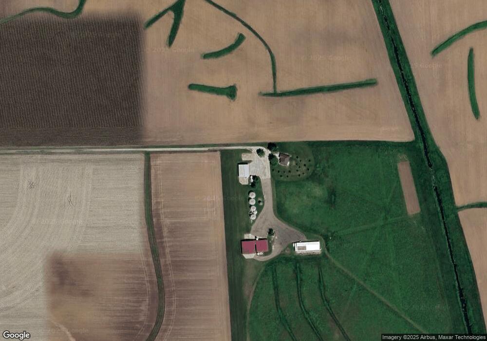
7249 E 150 North Rd Mc Lean, IL 61754
Estimated Value: $176,203 - $181,000
Studio
1
Bath
1,580
Sq Ft
$113/Sq Ft
Est. Value
About This Home
This home is located at 7249 E 150 North Rd, Mc Lean, IL 61754 and is currently estimated at $178,551, approximately $113 per square foot. 7249 E 150 North Rd is a home located in McLean County with nearby schools including Olympia High School.
Ownership History
Date
Name
Owned For
Owner Type
Purchase Details
Closed on
Aug 27, 2021
Sold by
Holland Robert L and Holland Barbara J
Bought by
Wurth Milo Michael and Wurth Kari
Current Estimated Value
Home Financials for this Owner
Home Financials are based on the most recent Mortgage that was taken out on this home.
Original Mortgage
$135,000
Outstanding Balance
$122,657
Interest Rate
2.7%
Mortgage Type
VA
Estimated Equity
$55,894
Purchase Details
Closed on
Apr 1, 2017
Sold by
Dorothy E Holland Revocable Trust
Bought by
Holland Robert L and Holland Barbra J
Create a Home Valuation Report for This Property
The Home Valuation Report is an in-depth analysis detailing your home's value as well as a comparison with similar homes in the area
Purchase History
| Date | Buyer | Sale Price | Title Company |
|---|---|---|---|
| Wurth Milo Michael | $135,000 | Alliance Land Title | |
| Holland Robert L | -- | Attorney |
Source: Public Records
Mortgage History
| Date | Status | Borrower | Loan Amount |
|---|---|---|---|
| Open | Wurth Milo Michael | $135,000 |
Source: Public Records
Tax History
| Year | Tax Paid | Tax Assessment Tax Assessment Total Assessment is a certain percentage of the fair market value that is determined by local assessors to be the total taxable value of land and additions on the property. | Land | Improvement |
|---|---|---|---|---|
| 2025 | $4,352 | $58,443 | $5,973 | $52,470 |
| 2024 | $3,713 | $53,924 | $5,511 | $48,413 |
| 2022 | $3,713 | $43,699 | $4,466 | $39,233 |
| 2021 | $4,055 | $41,152 | $4,206 | $36,946 |
| 2020 | $4,016 | $40,400 | $4,129 | $36,271 |
| 2019 | $3,994 | $40,400 | $4,129 | $36,271 |
| 2018 | $3,990 | $40,400 | $4,129 | $36,271 |
| 2017 | $2,922 | $40,400 | $4,129 | $36,271 |
| 2016 | $2,824 | $39,666 | $4,054 | $35,612 |
| 2015 | $3,512 | $46,826 | $3,925 | $42,901 |
| 2014 | $3,129 | $45,524 | $3,816 | $41,708 |
| 2013 | -- | $45,078 | $3,779 | $41,299 |
Source: Public Records
Map
Nearby Homes
- 305 E 6th St
- 5429 Columbia Rd
- 1517 W Lake Ct
- 109 E Lake Ct Unit B
- 109 E Lake Ct Unit A
- Lot 46 E Lake Ct
- 46 N Lake Dr
- 5 Sunnyside Estates
- 7 Sunnyside Estates
- 501 NE 3rd St
- 610 SE Vine St
- 304 SW Arch St
- 507 NW Race St
- 207 SW 6th St
- 404 N Delane Dr
- 610 Kelley Dr
- 401 Jenny Ln
- 404 Sunset Dr
- 2nd Addition Whitetail S
- 201 E Cleveland St
Your Personal Tour Guide
Ask me questions while you tour the home.