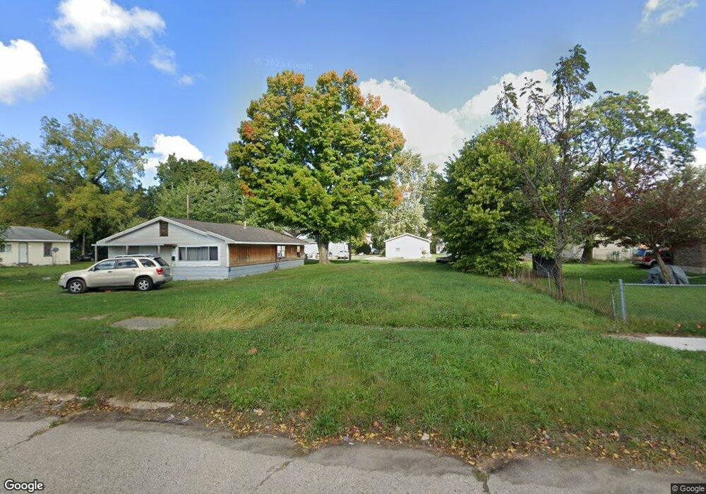
725 E High St Benton Harbor, MI 49022
Estimated Value: $65,000 - $492,000
About This Home
This home is located at 725 E High St, Benton Harbor, MI 49022 and is currently estimated at $278,500. 725 E High St is a home located in Berrien County with nearby schools including Fair Plain Middle School, Benton Harbor High School, and Benton Harbor Charter School Academy.
Ownership History
We collect this data history from publicly available records. To have your information removed, we recommend requesting removal directly through your county’s website.
Purchase Details
Purchase Details
Purchase Details
Purchase Details
Purchase Details
Purchase Details
Home Values in the Area
Average Home Value in this Area
Purchase History
We collect this data history from publicly available records. To have your information removed, we recommend requesting removal directly through your county’s website.
| Date | Buyer | Sale Price | Title Company |
|---|---|---|---|
| $1,700 | None Listed On Document | ||
| -- | None Available | ||
| -- | Berrien County Treasurer | ||
| -- | Attorney | ||
| -- | -- | ||
| -- | -- |
Tax History
We collect this data history from publicly available records. To have your information removed, we recommend requesting removal directly through your county’s website.
| Year | Tax Paid | Tax Assessment Tax Assessment Total Assessment is a certain percentage of the fair market value that is determined by local assessors to be the total taxable value of land and additions on the property. | Land | Improvement |
|---|---|---|---|---|
| 2026 | $28 | $3,000 | $0 | $0 |
| 2025 | $228 | $3,000 | $0 | $0 |
| 2024 | $27 | $2,500 | $0 | $0 |
| 2023 | $21 | $500 | $0 | $0 |
| 2022 | $24 | $400 | $0 | $0 |
| 2021 | $38 | $600 | $600 | $0 |
| 2020 | $38 | $600 | $0 | $0 |
| 2019 | $38 | $600 | $0 | $0 |
| 2018 | $184 | $2,600 | $0 | $0 |
| 2017 | $698 | $11,100 | $0 | $0 |
| 2016 | $479 | $11,200 | $0 | $0 |
| 2015 | $678 | $10,800 | $0 | $0 |
| 2014 | $453 | $13,100 | $0 | $0 |
Map
- 786 Buss Ave
- 696 Highland Ave
- 687 Mcguigan Ave
- 419 Packard St
- 137 Cornelia St
- 395 Lincoln St
- 363 Brunson Ave
- 380 N Mccord St
- 561 Heck Ct
- 378 Pipestone St
- 0 Territorial Rd
- 0 Territorial Rd Unit 5.75
- 282 Chestnut St
- 381 N Hull Ave
- 470 N Mccord St
- 255 High St
- 730 Superior St
- 614 Pavone St
- 758 Pearl St
- 468 Colfax Ave
Ask me questions while you tour the home.