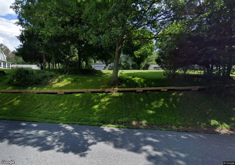
725 E Pike Rd Indiana, PA 15701
Estimated Value: $241,297 - $339,000
About This Home
This home is located at 725 E Pike Rd, Indiana, PA 15701 and is currently estimated at $274,574, approximately $150 per square foot. 725 E Pike Rd is a home located in Indiana County with nearby schools including Indiana Area Junior High School, Indiana Area Senior High School, and Seeds of Faith Christian Academy.
Ownership History
We collect this data history from publicly available records. To have your information removed, we recommend requesting removal directly through your county’s website.
Purchase Details
Home Financials for this Owner
Home Financials are based on the most recent Mortgage that was taken out on this home.Purchase Details
Purchase Details
Home Financials for this Owner
Home Financials are based on the most recent Mortgage that was taken out on this home.Purchase History
We collect this data history from publicly available records. To have your information removed, we recommend requesting removal directly through your county’s website.
| Date | Buyer | Sale Price | Title Company |
|---|---|---|---|
| $162,500 | None Available | ||
| -- | None Available | ||
| $140,100 | None Available |
Mortgage History
We collect this data history from publicly available records. To have your information removed, we recommend requesting removal directly through your county’s website.
| Date | Status | Borrower | Loan Amount |
|---|---|---|---|
| Open | $162,500 | ||
| Previous Owner | $112,080 |
Tax History
We collect this data history from publicly available records. To have your information removed, we recommend requesting removal directly through your county’s website.
| Year | Tax Paid | Tax Assessment Tax Assessment Total Assessment is a certain percentage of the fair market value that is determined by local assessors to be the total taxable value of land and additions on the property. | Land | Improvement |
|---|---|---|---|---|
| 2026 | $3,459 | $149,500 | $30,000 | $119,500 |
| 2025 | $3,384 | $149,500 | $30,000 | $119,500 |
| 2024 | $3,196 | $149,500 | $30,000 | $119,500 |
| 2023 | $3,030 | $149,500 | $30,000 | $119,500 |
| 2022 | $3,030 | $149,500 | $30,000 | $119,500 |
| 2021 | $3,030 | $149,500 | $30,000 | $119,500 |
| 2020 | $2,961 | $149,500 | $30,000 | $119,500 |
| 2018 | $2,961 | $149,500 | $30,000 | $119,500 |
| 2017 | $3,090 | $149,500 | $30,000 | $119,500 |
| 2016 | -- | $149,500 | $30,000 | $119,500 |
| 2015 | -- | $15,890 | $3,740 | $12,150 |
| 2014 | -- | $15,890 | $3,740 | $12,150 |
Map
- 2 Deerfield Ln
- 53 Vista Dr
- 165 Church St
- 355 Gabriel Ave
- 252 Oak St
- 0 Route 286 & Florence Ave Unit 1685866
- 0 Mallet Hill Ct Unit 1742993
- 0 Route 286 Hwy S Unit 1761772
- 722, 726, 730, 734, S Street Locust St
- 250 & 256 S Seventh St
- 346 Maple St
- 595 S 4th St
- 424 Church St
- 00 Becky Dr
- 436 Oak St
- 20 N 5th St
- 525 School St
- 525 Elm St
- 457 Chestnut St
- 465 S 6th St
Ask me questions while you tour the home.