725 Johnson Mill Rd Orrington, ME 04474
Estimated Value: $334,000 - $620,000
About This Home
This home is located at 725 Johnson Mill Rd, Orrington, ME 04474 and is currently estimated at $478,942. 725 Johnson Mill Rd is a home with nearby schools including Center Drive School.
Ownership History
We collect this data history from publicly available records. To have your information removed, we recommend requesting removal directly through your county’s website.
Purchase Details
Purchase Details
Home Financials for this Owner
Home Financials are based on the most recent Mortgage that was taken out on this home.Home Values in the Area
Average Home Value in this Area
Purchase History
We collect this data history from publicly available records. To have your information removed, we recommend requesting removal directly through your county’s website.
| Date | Buyer | Sale Price | Title Company |
|---|---|---|---|
| -- | -- | ||
| -- | -- |
Mortgage History
We collect this data history from publicly available records. To have your information removed, we recommend requesting removal directly through your county’s website.
| Date | Status | Borrower | Loan Amount |
|---|---|---|---|
| Previous Owner | $273,520 | ||
| Previous Owner | $48,400 |
Tax History
We collect this data history from publicly available records. To have your information removed, we recommend requesting removal directly through your county’s website.
| Year | Tax Paid | Tax Assessment Tax Assessment Total Assessment is a certain percentage of the fair market value that is determined by local assessors to be the total taxable value of land and additions on the property. | Land | Improvement |
|---|---|---|---|---|
| 2025 | $6,357 | $552,800 | $83,300 | $469,500 |
| 2024 | $5,729 | $525,600 | $78,200 | $447,400 |
| 2023 | $5,462 | $496,500 | $72,800 | $423,700 |
| 2022 | $5,721 | $448,700 | $78,800 | $369,900 |
| 2021 | $6,117 | $407,800 | $78,800 | $329,000 |
| 2020 | $6,134 | $385,800 | $78,800 | $307,000 |
| 2019 | $6,134 | $385,800 | $78,800 | $307,000 |
| 2018 | $5,363 | $385,800 | $78,800 | $307,000 |
| 2017 | $5,363 | $385,800 | $78,800 | $307,000 |
| 2016 | $5,825 | $405,900 | $62,700 | $343,200 |
| 2015 | $5,825 | $405,900 | $62,700 | $343,200 |
| 2014 | $5,367 | $374,000 | $62,700 | $311,300 |
| 2013 | $5,030 | $374,000 | $62,700 | $311,300 |
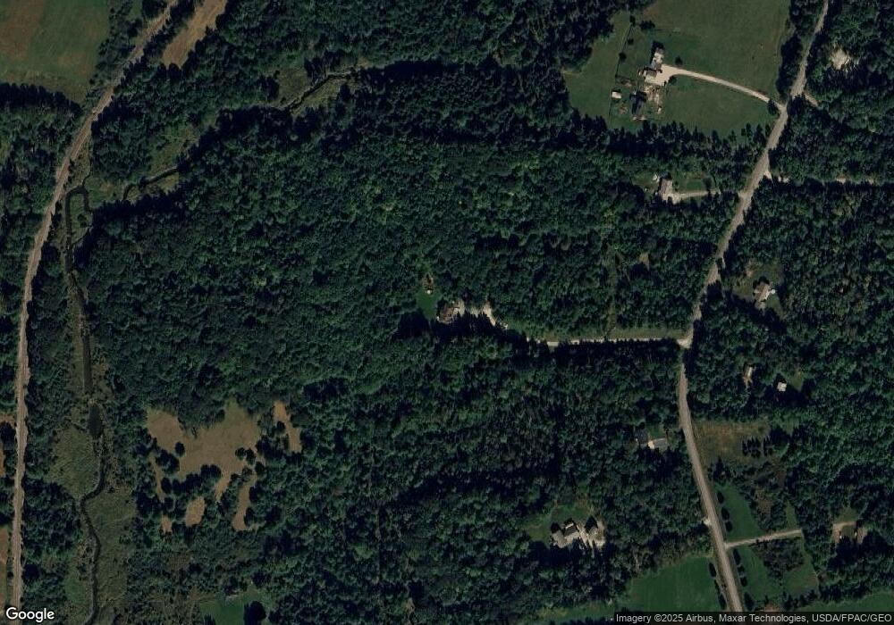
Map
- 212 Swetts Pond Rd
- 5 Allen Dr
- 119 Mill Creek Rd
- 80 Settlers Way
- 845 River Rd
- 00 Betts Rd
- M2 L117A River Rd
- 173 Center Dr
- 754 River Rd
- 290 Center Dr
- 226 Center Dr
- Lot 99 Center Dr
- 25 Mountain High Dr
- 475 Center Dr
- 65 Center Dr
- 473 Center Dr
- 418 Main Rd S
- 11 Baker Rd
- M46l12 Unit 131923 River Road
- Lot 098-E Center Dr
- 733 Johnson Mill Rd
- 720 Johnson Mill Rd
- 726 Johnson Mill Rd
- 699 Johnson Mill Rd
- 749 Johnson Mill Rd
- 750 Johnson Mill Rd
- 691 Johnson Mill Rd
- 765 Johnson Mill Rd
- 688 Johnson Mill Rd
- 692 Johnson Mill Rd
- 35 Quarry Rd
- 150 Swetts Pond Rd
- 700 Johnson Mill Rd
- 151 Swetts Pond Rd
- 166 Swetts Pond Rd
- 36 Quarry Rd
- 664 Johnson Mill Rd
- 10 Cemetery Ln
- 159 Swetts Pond Rd
- 167 Swetts Pond Rd
Ask me questions while you tour the home.