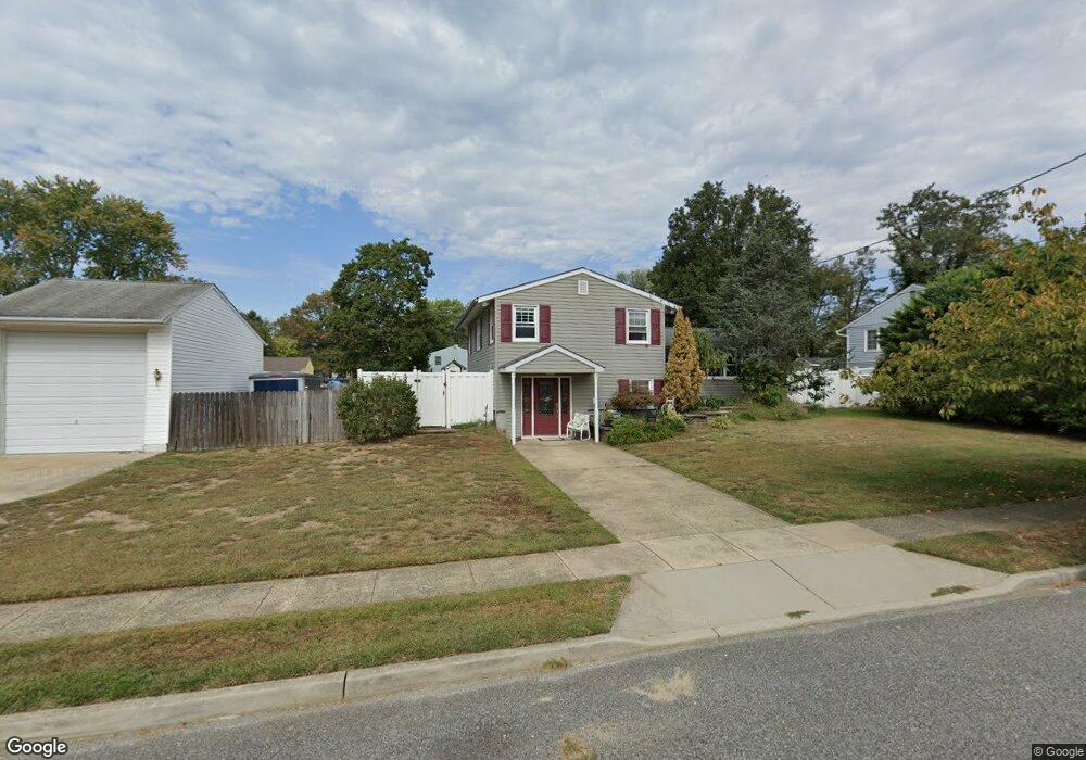
725 Purdue Ave Wenonah, NJ 08090
Deptford Township NeighborhoodEstimated Value: $342,000 - $362,349
About This Home
This home is located at 725 Purdue Ave, Wenonah, NJ 08090 and is currently estimated at $353,087, approximately $204 per square foot. 725 Purdue Ave is a home located in Gloucester County with nearby schools including Deptford Township High School and St Margaret Regional School.
Ownership History
We collect this data history from publicly available records. To have your information removed, we recommend requesting removal directly through your county’s website.
Purchase Details
Purchase Details
Home Values in the Area
Average Home Value in this Area
Purchase History
We collect this data history from publicly available records. To have your information removed, we recommend requesting removal directly through your county’s website.
| Date | Buyer | Sale Price | Title Company |
|---|---|---|---|
| $129,900 | Foundation Title Llc | ||
| $103,900 | Congress Title Corp |
Tax History
We collect this data history from publicly available records. To have your information removed, we recommend requesting removal directly through your county’s website.
| Year | Tax Paid | Tax Assessment Tax Assessment Total Assessment is a certain percentage of the fair market value that is determined by local assessors to be the total taxable value of land and additions on the property. | Land | Improvement |
|---|---|---|---|---|
| 2026 | $5,980 | $163,300 | $43,100 | $120,200 |
| 2025 | $5,980 | $163,300 | $43,100 | $120,200 |
| 2024 | $5,667 | $163,300 | $43,100 | $120,200 |
| 2023 | $5,667 | $163,300 | $43,100 | $120,200 |
| 2022 | $5,626 | $163,300 | $43,100 | $120,200 |
| 2021 | $5,377 | $163,300 | $43,100 | $120,200 |
| 2020 | $5,482 | $163,300 | $43,100 | $120,200 |
| 2019 | $5,377 | $163,300 | $43,100 | $120,200 |
| 2018 | $5,257 | $163,300 | $43,100 | $120,200 |
| 2017 | $5,116 | $163,300 | $43,100 | $120,200 |
| 2016 | $5,012 | $163,300 | $43,100 | $120,200 |
| 2015 | $4,857 | $163,300 | $43,100 | $120,200 |
| 2014 | $4,731 | $163,300 | $43,100 | $120,200 |
Map
- 738 Howard Ave
- 722 Glenside Dr
- 100 Buddy Powell Ln
- 912 Georgetown Rd
- 1124 Mantua Pike
- 1 4th Ave
- 348 Carnegie Ave
- 204 Wenonah Ave
- 648 Princeton Blvd
- 332 Rutgers Ave
- 132 Ashton Ct Unit 132
- 101 Ashton Ct Unit 101
- 99 Hickory Ave
- 209 Main St
- 59 1st Ave
- 10 S Jefferson Ave
- 6 Henley Ct
- 33 Cortland Way
- 303 Main St
- 505 N East Ave
Ask me questions while you tour the home.