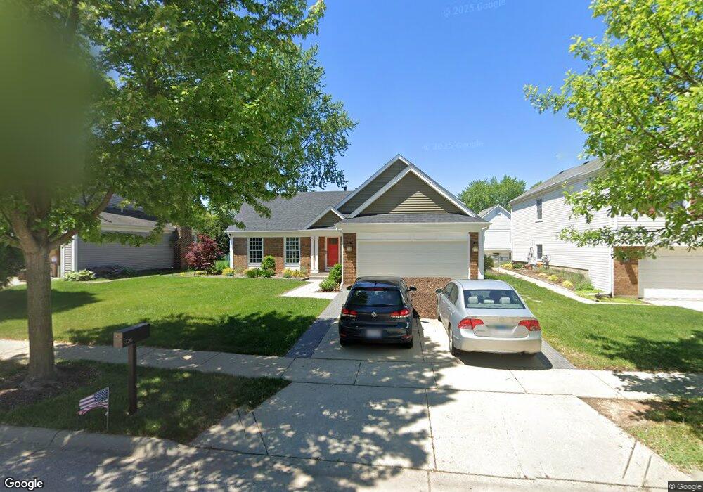
726 Leslie Ln Schaumburg, IL 60194
West Schaumburg NeighborhoodEstimated Value: $446,000 - $540,000
About This Home
This home is located at 726 Leslie Ln, Schaumburg, IL 60194 and is currently estimated at $487,836, approximately $274 per square foot. 726 Leslie Ln is a home located in Cook County with nearby schools including Elizabeth Blackwell Elementary School, Jane Addams Junior High School, and Schaumburg High School.
Ownership History
We collect this data history from publicly available records. To have your information removed, we recommend requesting removal directly through your county’s website.
Purchase Details
Home Financials for this Owner
Home Financials are based on the most recent Mortgage that was taken out on this home.Purchase Details
Home Financials for this Owner
Home Financials are based on the most recent Mortgage that was taken out on this home.Purchase Details
Home Financials for this Owner
Home Financials are based on the most recent Mortgage that was taken out on this home.Purchase Details
Home Financials for this Owner
Home Financials are based on the most recent Mortgage that was taken out on this home.Home Values in the Area
Average Home Value in this Area
Purchase History
We collect this data history from publicly available records. To have your information removed, we recommend requesting removal directly through your county’s website.
| Date | Buyer | Sale Price | Title Company |
|---|---|---|---|
| $339,000 | Chicago Title Insurance Co | ||
| $315,000 | Chicago Title Insurance Comp | ||
| $185,000 | Professional National Title | ||
| -- | -- |
Mortgage History
We collect this data history from publicly available records. To have your information removed, we recommend requesting removal directly through your county’s website.
| Date | Status | Borrower | Loan Amount |
|---|---|---|---|
| Open | $239,000 | ||
| Previous Owner | $252,000 | ||
| Previous Owner | $166,500 | ||
| Previous Owner | $123,300 | ||
| Closed | $63,000 |
Tax History
We collect this data history from publicly available records. To have your information removed, we recommend requesting removal directly through your county’s website.
| Year | Tax Paid | Tax Assessment Tax Assessment Total Assessment is a certain percentage of the fair market value that is determined by local assessors to be the total taxable value of land and additions on the property. | Land | Improvement |
|---|---|---|---|---|
| 2025 | $8,595 | $45,000 | $7,475 | $37,525 |
| 2024 | $8,595 | $34,000 | $6,175 | $27,825 |
| 2023 | $8,307 | $34,000 | $6,175 | $27,825 |
| 2022 | $8,307 | $34,000 | $6,175 | $27,825 |
| 2021 | $7,366 | $27,634 | $4,225 | $23,409 |
| 2020 | $7,307 | $27,634 | $4,225 | $23,409 |
| 2019 | $7,311 | $30,705 | $4,225 | $26,480 |
| 2018 | $6,614 | $25,473 | $3,575 | $21,898 |
| 2017 | $6,936 | $26,858 | $3,575 | $23,283 |
| 2016 | $6,729 | $26,858 | $3,575 | $23,283 |
| 2015 | $6,440 | $24,150 | $3,087 | $21,063 |
| 2014 | $6,386 | $24,150 | $3,087 | $21,063 |
| 2013 | $6,205 | $24,150 | $3,087 | $21,063 |
Map
- 639 Shaw Ct
- 2013 Briar Hill Dr
- 611 Kendall Ct
- 2203 Cardinal Ct Unit 35
- 1914 Flintshire Dr Unit 1914
- 2109 Hitching Post Ln
- 2115 Hitching Post Ln
- 2323 Oxhill Ct Unit 843
- 815 Mansfield Ct
- 819 Mansfield Ct Unit 2
- 2136 Southwind Cir Unit 91E1
- 2123 Northwind Cir Unit 133E
- 505 Tebay Place
- 2025 Ivy Ct Unit 2025
- 752 N Brookdale Dr
- 1975 Windsong Dr Unit 333E1
- 1813 Lancashire Ct Unit 3
- 7 Greystone Ct
- 1726 Southbridge Ct
- 1925 Cloverdale Ct
Ask me questions while you tour the home.