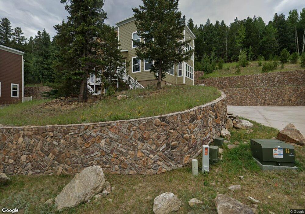
726 Martin Dr Central City, CO 80427
Central City-Black Hawk NeighborhoodEstimated Value: $446,468 - $498,000
2
Beds
3
Baths
1,820
Sq Ft
$264/Sq Ft
Est. Value
About This Home
This home is located at 726 Martin Dr, Central City, CO 80427 and is currently estimated at $479,617, approximately $263 per square foot. 726 Martin Dr is a home located in Gilpin County with nearby schools including Gilpin County Elementary School and Gilpin County Undivided High School.
Ownership History
Date
Name
Owned For
Owner Type
Purchase Details
Closed on
Jun 29, 2021
Sold by
Ringsdorf Jodi
Bought by
Baca Renee and Baca Hilda Talmadge
Current Estimated Value
Home Financials for this Owner
Home Financials are based on the most recent Mortgage that was taken out on this home.
Original Mortgage
$390,910
Outstanding Balance
$349,262
Interest Rate
2.9%
Mortgage Type
New Conventional
Estimated Equity
$130,355
Purchase Details
Closed on
Nov 1, 2019
Sold by
Simpson Cari
Bought by
Ringsdorf Jodi
Home Financials for this Owner
Home Financials are based on the most recent Mortgage that was taken out on this home.
Original Mortgage
$323,232
Interest Rate
3.7%
Mortgage Type
New Conventional
Purchase Details
Closed on
Apr 17, 2014
Sold by
Karen O Guin Fay J and Guin-Slinger Karen O
Bought by
Simpson Cari
Home Financials for this Owner
Home Financials are based on the most recent Mortgage that was taken out on this home.
Original Mortgage
$233,197
Interest Rate
4.34%
Mortgage Type
FHA
Create a Home Valuation Report for This Property
The Home Valuation Report is an in-depth analysis detailing your home's value as well as a comparison with similar homes in the area
Home Values in the Area
Average Home Value in this Area
Purchase History
| Date | Buyer | Sale Price | Title Company |
|---|---|---|---|
| Baca Renee | $403,000 | None Available | |
| Ringsdorf Jodi | $320,000 | None Available | |
| Simpson Cari | $237,500 | None Available |
Source: Public Records
Mortgage History
| Date | Status | Borrower | Loan Amount |
|---|---|---|---|
| Open | Baca Renee | $390,910 | |
| Previous Owner | Ringsdorf Jodi | $323,232 | |
| Previous Owner | Simpson Cari | $233,197 |
Source: Public Records
Tax History
| Year | Tax Paid | Tax Assessment Tax Assessment Total Assessment is a certain percentage of the fair market value that is determined by local assessors to be the total taxable value of land and additions on the property. | Land | Improvement |
|---|---|---|---|---|
| 2025 | $824 | $26,930 | $90 | $26,840 |
| 2024 | $824 | $21,640 | $90 | $21,550 |
| 2023 | $628 | $21,640 | $90 | $21,550 |
| 2022 | $699 | $21,750 | $100 | $21,650 |
| 2021 | $702 | $22,390 | $110 | $22,280 |
| 2020 | $628 | $20,920 | $110 | $20,810 |
| 2019 | $541 | $20,920 | $110 | $20,810 |
| 2018 | $512 | $18,780 | $10 | $18,770 |
| 2017 | $513 | $18,780 | $10 | $18,770 |
| 2016 | $500 | $18,220 | $10 | $18,210 |
| 2015 | -- | $18,220 | $10 | $18,210 |
| 2014 | -- | $21,210 | $10 | $21,200 |
Source: Public Records
Map
Nearby Homes
- 736 Martin Dr
- 785 Martin Dr
- 788 Brewery Dr
- 708 Brewery Dr
- 829 Vernon Dr
- 820 N Vernon Dr
- 832 Vernon Dr
- 591 Eureka St
- 541 Eureka St
- 531 Eureka St
- 801 Eureka St Unit See Appendix B
- 023 Eureka St
- 0001 Academy St
- 00 W St Louis
- 00 Spruce St
- 202 E 1st High St
- 220 E 1st High St
- 300 Roworth St
- Lot 11 E Seventh St Unit 11
- 001 Hooper St
Your Personal Tour Guide
Ask me questions while you tour the home.