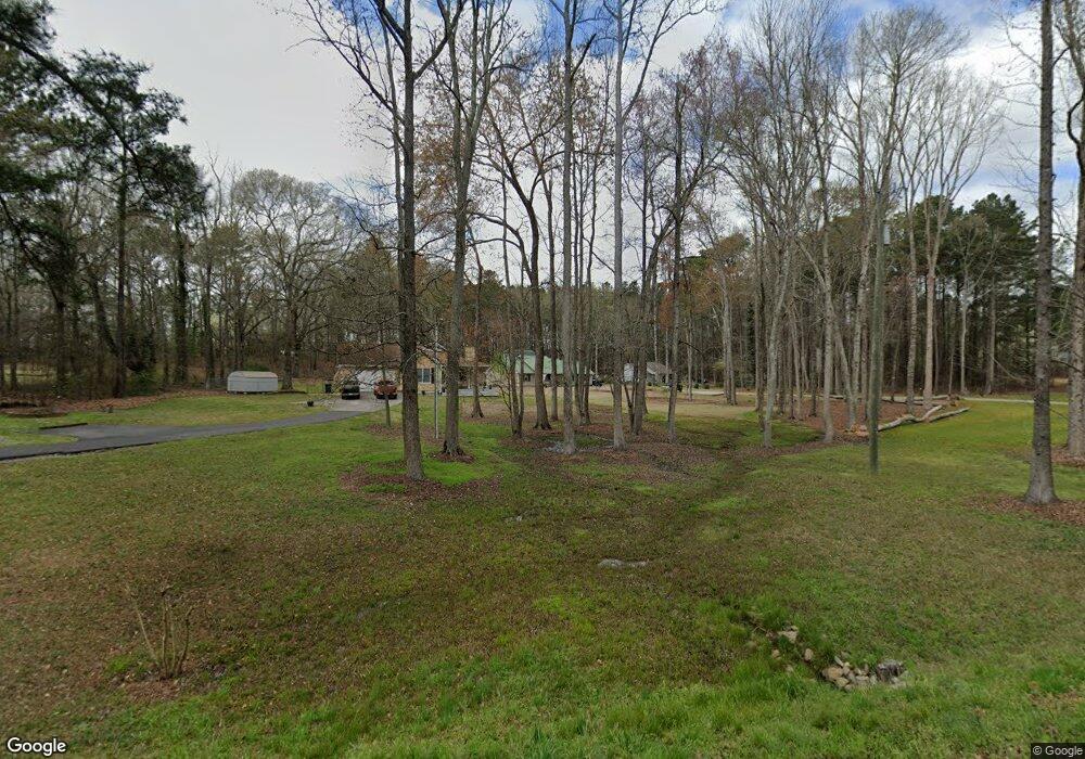
726 Rowe Rd Senoia, GA 30276
Estimated Value: $278,441 - $367,000
3
Beds
2
Baths
1,645
Sq Ft
$196/Sq Ft
Est. Value
About This Home
This home is located at 726 Rowe Rd, Senoia, GA 30276 and is currently estimated at $321,610, approximately $195 per square foot. 726 Rowe Rd is a home located in Coweta County with nearby schools including Eastside Elementary School, East Coweta Middle School, and East Coweta High School.
Ownership History
Date
Name
Owned For
Owner Type
Purchase Details
Closed on
Sep 10, 2001
Sold by
Harris Daryl K and Harris Melissa L
Bought by
Thompson Carl W
Current Estimated Value
Home Financials for this Owner
Home Financials are based on the most recent Mortgage that was taken out on this home.
Original Mortgage
$96,900
Outstanding Balance
$37,307
Interest Rate
6.97%
Mortgage Type
New Conventional
Estimated Equity
$284,303
Purchase Details
Closed on
Feb 24, 1996
Bought by
Harris Daryl Keith
Purchase Details
Closed on
Mar 31, 1992
Bought by
Harris Daryl Keith
Purchase Details
Closed on
Dec 21, 1990
Bought by
Meiller John C
Purchase Details
Closed on
Nov 30, 1985
Bought by
Eskew I J
Create a Home Valuation Report for This Property
The Home Valuation Report is an in-depth analysis detailing your home's value as well as a comparison with similar homes in the area
Home Values in the Area
Average Home Value in this Area
Purchase History
| Date | Buyer | Sale Price | Title Company |
|---|---|---|---|
| Thompson Carl W | $102,000 | -- | |
| Harris Daryl Keith | -- | -- | |
| Harris Daryl Keith | $65,500 | -- | |
| Meiller John C | $15,500 | -- | |
| Eskew I J | -- | -- |
Source: Public Records
Mortgage History
| Date | Status | Borrower | Loan Amount |
|---|---|---|---|
| Open | Thompson Carl W | $96,900 |
Source: Public Records
Tax History
| Year | Tax Paid | Tax Assessment Tax Assessment Total Assessment is a certain percentage of the fair market value that is determined by local assessors to be the total taxable value of land and additions on the property. | Land | Improvement |
|---|---|---|---|---|
| 2025 | $2,087 | $94,635 | $16,176 | $78,459 |
| 2024 | $1,999 | $90,716 | $8,640 | $82,076 |
| 2023 | $1,999 | $99,527 | $13,871 | $85,656 |
Source: Public Records
Map
Nearby Homes
- 605 Rowe Rd
- 20 Austin Woods Dr
- 11084 Mount Carmel Rd
- 303 Line Creek Rd
- 449 Todd Rd
- 370 Staffin Dr
- 360 Staffin Dr
- 350 Staffin Dr
- 335 Staffin Dr
- 340 Staffin Dr
- 365 Staffin Dr
- 330 Staffin Dr
- 145 Old Highway 85
- 30 Ashwood Ct
- 209 Maddington Ct
- 204 Maddington Ct
- 50 Cushing St
- LOT 5 Todd Seven
- LOT 7 Todd Seven
- LOT 1 Todd Five
Your Personal Tour Guide
Ask me questions while you tour the home.