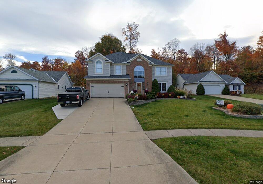
727 Flagstone Cir Brunswick, OH 44212
Estimated Value: $385,101 - $449,000
4
Beds
3
Baths
2,132
Sq Ft
$196/Sq Ft
Est. Value
About This Home
This home is located at 727 Flagstone Cir, Brunswick, OH 44212 and is currently estimated at $417,275, approximately $195 per square foot. 727 Flagstone Cir is a home located in Medina County with nearby schools including Walter Kidder Elementary School, Willets Middle School, and Brunswick High School.
Ownership History
Date
Name
Owned For
Owner Type
Purchase Details
Closed on
Apr 16, 2021
Sold by
Collins James F
Bought by
Collins James Fredrick and Collins Vesna Barbara
Current Estimated Value
Purchase Details
Closed on
Oct 22, 2013
Sold by
Franc Anthony J and Franc Kimberly A
Bought by
Collins James F
Home Financials for this Owner
Home Financials are based on the most recent Mortgage that was taken out on this home.
Original Mortgage
$237,498
Outstanding Balance
$179,083
Interest Rate
4.59%
Mortgage Type
VA
Estimated Equity
$238,192
Create a Home Valuation Report for This Property
The Home Valuation Report is an in-depth analysis detailing your home's value as well as a comparison with similar homes in the area
Home Values in the Area
Average Home Value in this Area
Purchase History
| Date | Buyer | Sale Price | Title Company |
|---|---|---|---|
| Collins James Fredrick | -- | None Available | |
| Collins James F | $232,666 | None Available |
Source: Public Records
Mortgage History
| Date | Status | Borrower | Loan Amount |
|---|---|---|---|
| Open | Collins James F | $237,498 |
Source: Public Records
Tax History
| Year | Tax Paid | Tax Assessment Tax Assessment Total Assessment is a certain percentage of the fair market value that is determined by local assessors to be the total taxable value of land and additions on the property. | Land | Improvement |
|---|---|---|---|---|
| 2024 | $6,011 | $99,410 | $24,260 | $75,150 |
| 2023 | $4,915 | $99,410 | $24,260 | $75,150 |
| 2022 | $4,650 | $99,410 | $24,260 | $75,150 |
| 2021 | $4,233 | $81,140 | $19,250 | $61,890 |
| 2020 | $3,809 | $81,140 | $19,250 | $61,890 |
| 2019 | $3,810 | $81,140 | $19,250 | $61,890 |
| 2018 | $3,914 | $79,060 | $20,780 | $58,280 |
| 2017 | $3,919 | $79,060 | $20,780 | $58,280 |
| 2016 | $3,915 | $79,060 | $20,780 | $58,280 |
| 2015 | $3,748 | $73,200 | $19,240 | $53,960 |
| 2014 | $3,735 | $73,200 | $19,240 | $53,960 |
| 2013 | $3,310 | $66,330 | $17,490 | $48,840 |
Source: Public Records
Map
Nearby Homes
- 760 Jeanette St
- 4713 Persimmon Ln
- 4344 Oak Ridge Trail
- 4340 Oak Ridge Trail
- 4336 Oak Ridge Trail
- 4332 Oak Ridge Trail
- 4431 Oak Ridge Trail
- 647 Pearl Rd
- 803 Substation Rd
- 810 Amherst Ln
- 4776 Aspen Oval
- 4571 Elm Ave
- 874 Amherst Ln
- 620 Topaz Ln
- 4628 Wolff Dr
- 4387 Oak Ridge Trail
- 4339 Oak Ridge Trail
- 4382 Oak Ridge Trail
- 4351 Oak Ridge Trail
- 4633 Hickory Ridge Ave
- 723 Flagstone Cir
- 735 Flagstone Cir
- 4566 Baywood Dr
- 4574 Baywood Dr
- 743 Flagstone Cir
- 728 Flagstone Cir
- 749 Flagstone Cir
- 736 Flagstone Cir
- 4524 Stone Creek Dr
- 724 Flagstone Cir
- 716 Flagstone Cir
- 744 Flagstone Cir
- 4522 Stone Creek Dr
- 708 Flagstone Cir
- 4518 Stone Creek Dr
- 4514 Stone Creek Dr
- 729 Poplar Dr
- 737 Poplar Dr
- 721 Poplar Dr
- 4543 Patricia Dr
Your Personal Tour Guide
Ask me questions while you tour the home.