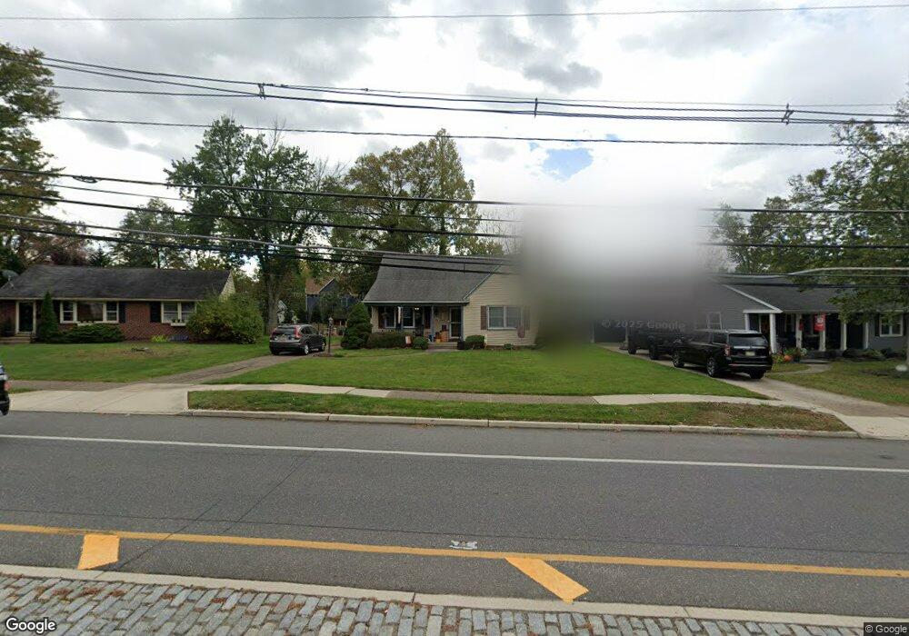
728 Grove St Haddonfield, NJ 08033
Estimated Value: $720,276 - $898,000
About This Home
This home is located at 728 Grove St, Haddonfield, NJ 08033 and is currently estimated at $788,069, approximately $375 per square foot. 728 Grove St is a home located in Camden County with nearby schools including Haddonfield Memorial High School, Christ the King Regional School, and Haddonfield Friends School.
Ownership History
We collect this data history from publicly available records. To have your information removed, we recommend requesting removal directly through your county’s website.
Purchase Details
Home Financials for this Owner
Home Financials are based on the most recent Mortgage that was taken out on this home.Home Values in the Area
Average Home Value in this Area
Purchase History
We collect this data history from publicly available records. To have your information removed, we recommend requesting removal directly through your county’s website.
| Date | Buyer | Sale Price | Title Company |
|---|---|---|---|
| $127,000 | -- |
Mortgage History
We collect this data history from publicly available records. To have your information removed, we recommend requesting removal directly through your county’s website.
| Date | Status | Borrower | Loan Amount |
|---|---|---|---|
| Closed | $121,000 |
Tax History
We collect this data history from publicly available records. To have your information removed, we recommend requesting removal directly through your county’s website.
| Year | Tax Paid | Tax Assessment Tax Assessment Total Assessment is a certain percentage of the fair market value that is determined by local assessors to be the total taxable value of land and additions on the property. | Land | Improvement |
|---|---|---|---|---|
| 2025 | $11,722 | $353,600 | $200,000 | $153,600 |
| 2024 | $11,273 | $353,600 | $200,000 | $153,600 |
| 2023 | $11,273 | $353,600 | $200,000 | $153,600 |
| 2022 | $11,184 | $353,600 | $200,000 | $153,600 |
| 2021 | $11,128 | $353,600 | $200,000 | $153,600 |
| 2020 | $11,050 | $353,600 | $200,000 | $153,600 |
| 2019 | $110 | $353,600 | $200,000 | $153,600 |
| 2018 | $10,831 | $353,600 | $200,000 | $153,600 |
| 2017 | $10,573 | $353,600 | $200,000 | $153,600 |
| 2016 | $10,336 | $353,600 | $200,000 | $153,600 |
| 2015 | $10,049 | $353,600 | $200,000 | $153,600 |
| 2014 | $9,827 | $353,600 | $200,000 | $153,600 |
Map
- 709 Grove St
- 840 Cedar Ave
- 615 Pardee Ln
- 650 Maple Ave
- 333 Farwood Rd
- 431 Albany Ave
- 501 Somerset Dr
- 1602 Park Blvd
- 408 Grove St
- 252 Rhoads Ave
- 422 Park Place Dr
- 403 Windsor Ave
- 504 Park Place Dr
- 305 Grove St
- 160 Marne Ave
- 239 Virginia Ave
- 41 E Crystal Lake Ave
- 228 Emerald Ave
- 19 Conwell Ave
- 147 Hawthorne Ave
Ask me questions while you tour the home.