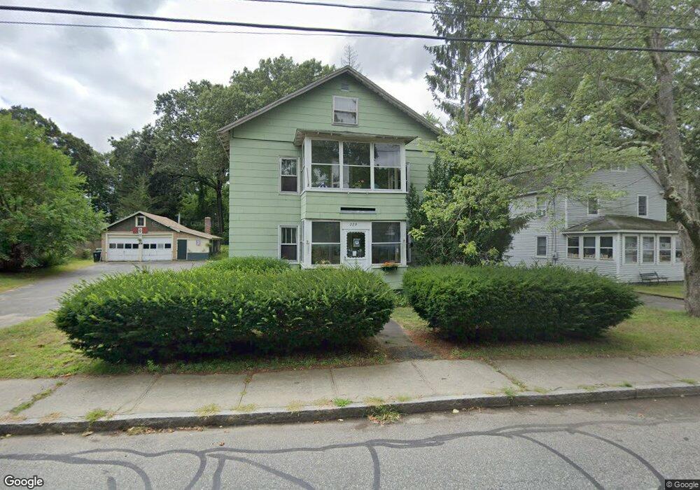
729 Britton St Chicopee, MA 01020
Fairview NeighborhoodEstimated Value: $317,603 - $399,000
About This Home
This home is located at 729 Britton St, Chicopee, MA 01020 and is currently estimated at $355,651, approximately $182 per square foot. 729 Britton St is a home located in Hampden County with nearby schools including Bowie Elementary School, Fairview Middle School, and Chicopee Comprehensive High School.
Ownership History
We collect this data history from publicly available records. To have your information removed, we recommend requesting removal directly through your county’s website.
Purchase Details
Home Financials for this Owner
Home Financials are based on the most recent Mortgage that was taken out on this home.Home Values in the Area
Average Home Value in this Area
Purchase History
We collect this data history from publicly available records. To have your information removed, we recommend requesting removal directly through your county’s website.
| Date | Buyer | Sale Price | Title Company |
|---|---|---|---|
| $80,000 | -- |
Mortgage History
We collect this data history from publicly available records. To have your information removed, we recommend requesting removal directly through your county’s website.
| Date | Status | Borrower | Loan Amount |
|---|---|---|---|
| Closed | $60,000 |
Tax History
We collect this data history from publicly available records. To have your information removed, we recommend requesting removal directly through your county’s website.
| Year | Tax Paid | Tax Assessment Tax Assessment Total Assessment is a certain percentage of the fair market value that is determined by local assessors to be the total taxable value of land and additions on the property. | Land | Improvement |
|---|---|---|---|---|
| 2025 | $4,278 | $282,200 | $118,200 | $164,000 |
| 2024 | $4,056 | $274,800 | $116,000 | $158,800 |
| 2023 | $3,791 | $250,200 | $105,500 | $144,700 |
| 2022 | $3,711 | $218,400 | $91,600 | $126,800 |
| 2021 | $3,520 | $199,900 | $83,300 | $116,600 |
| 2020 | $3,396 | $194,500 | $85,600 | $108,900 |
| 2019 | $3,355 | $186,800 | $85,600 | $101,200 |
| 2018 | $3,276 | $178,900 | $81,500 | $97,400 |
| 2017 | $2,842 | $164,200 | $74,700 | $89,500 |
| 2016 | $2,794 | $165,200 | $74,700 | $90,500 |
| 2015 | $2,882 | $164,300 | $74,700 | $89,600 |
| 2014 | $1,441 | $164,300 | $74,700 | $89,600 |
Map
- 128 Ann St
- 200 Royal St
- 0 Saint Jacques Ave
- 33 Guerin St
- 303 College St
- 32 Yorktown Ct Unit 32
- 81 Mccarthy Ave
- 79 Beaudry Ave
- 98 Greenpoint Cir
- 76 Mitchell Dr
- 523 James St
- 67 Manning St
- 22 Fredette St Unit 22
- 85 Barbara St
- 55 Meadowlark Ln
- 32 Cornell St
- 91 Shadow Brook Estate Unit 91
- 522 Prospect St
- 28 New Ludlow Rd
- 125 Greenwood Terrace
- 721 Britton St
- 737 Britton St
- 724 Britton St
- 713 Britton St
- 718 Britton St
- 705 Britton St
- 744 Britton St
- 753 Britton St
- 706 Britton St
- 706 Britton St Unit 2
- 706 Britton St Unit 1
- 695 Britton St
- 761 Britton St
- 756 Britton St
- 696 Britton St
- 110 Anson St
- 102 Anson St
- 120 Anson St
- 691 Britton St
- 766 Britton St
Ask me questions while you tour the home.