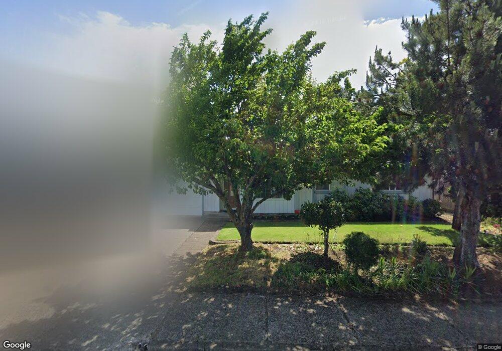
729 Calvin St Eugene, OR 97401
Harlow NeighborhoodEstimated Value: $481,507 - $548,000
4
Beds
3
Baths
1,634
Sq Ft
$315/Sq Ft
Est. Value
About This Home
This home is located at 729 Calvin St, Eugene, OR 97401 and is currently estimated at $514,627, approximately $314 per square foot. 729 Calvin St is a home located in Lane County with nearby schools including Holt Elementary School, Monroe Middle School, and Sheldon High School.
Ownership History
Date
Name
Owned For
Owner Type
Purchase Details
Closed on
Aug 7, 2020
Sold by
Tran Dong N and Nguyen Kim D
Bought by
Vu Tuong H and Tran Lan T
Current Estimated Value
Home Financials for this Owner
Home Financials are based on the most recent Mortgage that was taken out on this home.
Original Mortgage
$172,500
Outstanding Balance
$120,436
Interest Rate
2.9%
Mortgage Type
New Conventional
Estimated Equity
$394,191
Purchase Details
Closed on
Feb 10, 2015
Sold by
Kirkpatrick Catheryn L
Bought by
Vu Tuong H and Tran Lan T
Home Financials for this Owner
Home Financials are based on the most recent Mortgage that was taken out on this home.
Original Mortgage
$188,000
Interest Rate
3.8%
Mortgage Type
New Conventional
Create a Home Valuation Report for This Property
The Home Valuation Report is an in-depth analysis detailing your home's value as well as a comparison with similar homes in the area
Home Values in the Area
Average Home Value in this Area
Purchase History
| Date | Buyer | Sale Price | Title Company |
|---|---|---|---|
| Vu Tuong H | -- | Cascade Title Co | |
| Vu Tuong H | $235,000 | Fidelity National Title Co |
Source: Public Records
Mortgage History
| Date | Status | Borrower | Loan Amount |
|---|---|---|---|
| Open | Vu Tuong H | $172,500 | |
| Closed | Vu Tuong H | $188,000 |
Source: Public Records
Tax History
| Year | Tax Paid | Tax Assessment Tax Assessment Total Assessment is a certain percentage of the fair market value that is determined by local assessors to be the total taxable value of land and additions on the property. | Land | Improvement |
|---|---|---|---|---|
| 2025 | $4,647 | $238,507 | -- | -- |
| 2024 | $4,589 | $231,561 | -- | -- |
| 2023 | $4,589 | $224,817 | $0 | $0 |
| 2022 | $4,299 | $218,269 | $0 | $0 |
| 2021 | $4,038 | $211,912 | $0 | $0 |
| 2020 | $4,052 | $205,740 | $0 | $0 |
| 2019 | $3,914 | $199,748 | $0 | $0 |
| 2018 | $3,684 | $188,283 | $0 | $0 |
| 2017 | $3,519 | $188,283 | $0 | $0 |
| 2016 | $3,432 | $182,799 | $0 | $0 |
| 2015 | $3,298 | $177,475 | $0 | $0 |
| 2014 | $3,194 | $172,306 | $0 | $0 |
Source: Public Records
Map
Nearby Homes
- 825 Waverly St
- 349 van Duyn St
- 3700 Babcock Ln Unit 106
- 1271 Arcadia Dr
- 280 Roan Dr
- 2994 Dapple Way
- 2727 Gateway St Unit 27
- 2872 Suffolk Ct
- 1491 Victorian Way
- 280 Regal Ct
- 2746 Harlow Rd
- 1564 Regency Dr
- 0 Sprig Ln Unit Lot 3
- 0 Sprig Ln Unit Lot 3 766109892
- 1450 W Quinalt St
- 600 Cherry Dr Unit 8
- 600 Cherry Dr Unit 3
- 2746 Norbert Ln
- 1310 W Quinalt St
- 394 Cherry Dr
Your Personal Tour Guide
Ask me questions while you tour the home.