729 Pounding Mill Loop Hayesville, NC 28904
Estimated Value: $309,891 - $383,000
3
Beds
2
Baths
1,372
Sq Ft
$250/Sq Ft
Est. Value
About This Home
This home is located at 729 Pounding Mill Loop, Hayesville, NC 28904 and is currently estimated at $342,973, approximately $249 per square foot. 729 Pounding Mill Loop is a home located in Clay County with nearby schools including Hayesville Elementary School, Hayesville Middle School, and Hayesville High School.
Ownership History
Date
Name
Owned For
Owner Type
Purchase Details
Closed on
Feb 19, 2020
Sold by
Shutley R Todd R and Shutley Darlene
Bought by
Kiefaber Brian and Kiefaber Sharon M
Current Estimated Value
Purchase Details
Closed on
Jul 7, 2007
Sold by
Francis Sherman M and Francis Sharon E
Bought by
Shutley R Todd
Home Financials for this Owner
Home Financials are based on the most recent Mortgage that was taken out on this home.
Original Mortgage
$25,000
Interest Rate
6.71%
Mortgage Type
Unknown
Create a Home Valuation Report for This Property
The Home Valuation Report is an in-depth analysis detailing your home's value as well as a comparison with similar homes in the area
Home Values in the Area
Average Home Value in this Area
Purchase History
| Date | Buyer | Sale Price | Title Company |
|---|---|---|---|
| Kiefaber Brian | $175,000 | None Available | |
| Shutley R Todd | $217,000 | -- |
Source: Public Records
Mortgage History
| Date | Status | Borrower | Loan Amount |
|---|---|---|---|
| Previous Owner | Shutley R Todd | $25,000 | |
| Previous Owner | Shutley R Todd | $170,300 |
Source: Public Records
Tax History
| Year | Tax Paid | Tax Assessment Tax Assessment Total Assessment is a certain percentage of the fair market value that is determined by local assessors to be the total taxable value of land and additions on the property. | Land | Improvement |
|---|---|---|---|---|
| 2025 | $936 | $177,800 | $58,300 | $119,500 |
| 2024 | $936 | $177,800 | $58,300 | $119,500 |
| 2023 | $836 | $177,800 | $58,300 | $119,500 |
| 2022 | $0 | $177,800 | $58,300 | $119,500 |
| 2021 | $836 | $177,800 | $58,300 | $119,500 |
| 2020 | $840 | $177,800 | $58,300 | $119,500 |
| 2019 | $840 | $177,800 | $58,300 | $119,500 |
| 2018 | $841 | $177,800 | $58,300 | $119,500 |
| 2016 | -- | $167,399 | $62,470 | $104,929 |
| 2015 | -- | $167,399 | $62,470 | $104,929 |
| 2014 | -- | $167,399 | $62,470 | $104,929 |
Source: Public Records
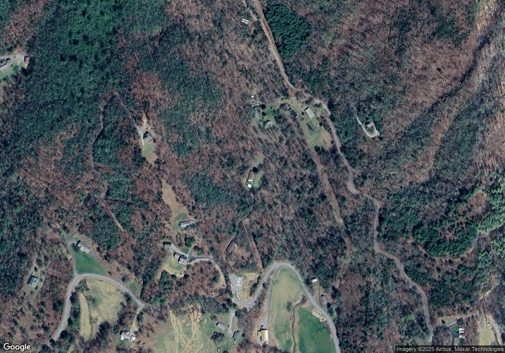
Map
Nearby Homes
- 49 Echota Trail
- 16 Lois Ln
- 100 Tranquility Ln
- 3086 Old Highway 64 E
- LOT 18 Shooting Creek Trail
- 793 Jackie Cove Rd
- Lt4 Old Highway 64 E
- 00 Old Highway 64 E
- Lot 5 Old Highway 64 E
- 33 Teaks Dr
- 10617 U S 64 E
- 770 Geisky Creek Rd
- 472 Hogsed Dr
- 9.12-AC Mission Hill Rd
- 319 Bethabara Rd
- Lot 137 Shiloh Ridge
- LT 73 Shiloh Ridge
- Lot 139 Shiloh Ridge
- 15 Turkey Cove Dr
- 312 Penland Indian Trail
- 729 Pounding Mill Loop
- 453 Cedar Cliff Rd
- 731 Pounding Mill Loop
- 455 Cedar Cliff Rd
- 619 Pounding Mill Loop
- 617 Pounding Mill Loop
- 326 Echota Trail
- 390 Cedar Cliff Rd
- 823 Pounding Mill Loop
- 8 Pounding Mill Loop
- 644 Pounding Mill Loop
- 648 Pounding Mill Loop
- 503 Pounding Mill Loop
- #9 Pounding Mill O L
- #9 Pounding Mill O L Unit Lot 9
- 9 Echota Trail Unit 9
- 9 Echota Trail
- 534 Pounding Mill Loop
- 922 Pounding Mill Loop
- 921 Pounding Mill Loop
Your Personal Tour Guide
Ask me questions while you tour the home.