73 Liberty Square Rd Unit 12A Boxborough, MA 01719
Estimated Value: $141,000 - $226,000
1
Bed
1
Bath
707
Sq Ft
$272/Sq Ft
Est. Value
About This Home
This home is located at 73 Liberty Square Rd Unit 12A, Boxborough, MA 01719 and is currently estimated at $192,220, approximately $271 per square foot. 73 Liberty Square Rd Unit 12A is a home located in Middlesex County with nearby schools including Acton-Boxborough Regional High School.
Ownership History
Date
Name
Owned For
Owner Type
Purchase Details
Closed on
Mar 8, 2004
Sold by
Cardillo Ann B
Bought by
Poretto Jeffrey and Poretto Yvonne E
Current Estimated Value
Home Financials for this Owner
Home Financials are based on the most recent Mortgage that was taken out on this home.
Original Mortgage
$77,700
Outstanding Balance
$34,216
Interest Rate
5.62%
Mortgage Type
Purchase Money Mortgage
Estimated Equity
$158,004
Create a Home Valuation Report for This Property
The Home Valuation Report is an in-depth analysis detailing your home's value as well as a comparison with similar homes in the area
Home Values in the Area
Average Home Value in this Area
Purchase History
We collect this data history from publicly available records. To have your information removed, we recommend requesting removal directly through your county’s website.
| Date | Buyer | Sale Price | Title Company |
|---|---|---|---|
| Poretto Jeffrey | $111,000 | -- |
Source: Public Records
Mortgage History
We collect this data history from publicly available records. To have your information removed, we recommend requesting removal directly through your county’s website.
| Date | Status | Borrower | Loan Amount |
|---|---|---|---|
| Open | Poretto Jeffrey | $77,700 |
Source: Public Records
Tax History
| Year | Tax Paid | Tax Assessment Tax Assessment Total Assessment is a certain percentage of the fair market value that is determined by local assessors to be the total taxable value of land and additions on the property. | Land | Improvement |
|---|---|---|---|---|
| 2025 | $2,226 | $147,000 | $0 | $147,000 |
| 2024 | $2,087 | $139,200 | $0 | $139,200 |
| 2023 | $2,150 | $138,500 | $0 | $138,500 |
| 2022 | $1,784 | $102,400 | $0 | $102,400 |
| 2020 | $1,687 | $100,900 | $0 | $100,900 |
| 2019 | $1,251 | $76,200 | $0 | $76,200 |
| 2018 | $1,249 | $76,000 | $0 | $76,000 |
| 2017 | $1,323 | $78,700 | $0 | $78,700 |
| 2016 | $1,201 | $73,400 | $0 | $73,400 |
| 2015 | $1,234 | $74,100 | $0 | $74,100 |
| 2014 | $1,336 | $75,500 | $0 | $75,500 |
Source: Public Records
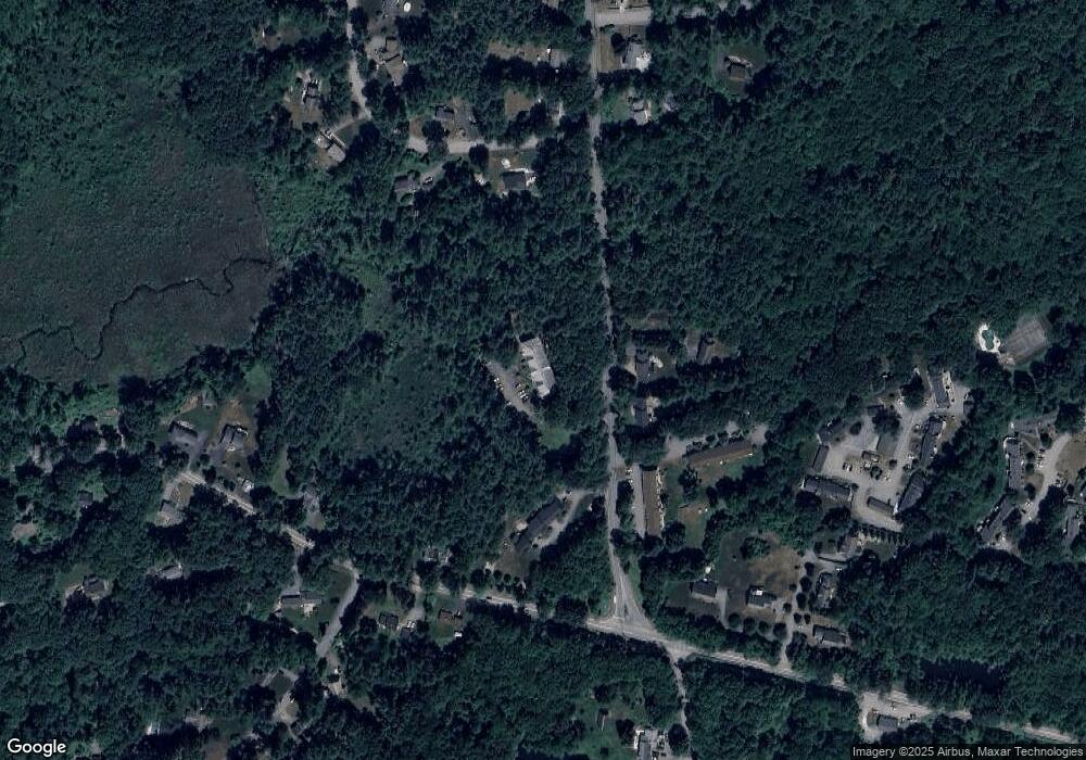
Map
Nearby Homes
- 20 Pine Pasture Run
- 29 Bicentennial Way
- 773 Massachusetts Ave Unit B9
- 773 Massachusetts Ave Unit C5
- 773 Massachusetts Ave Unit C9
- 23 Spruce St Unit B
- 94 Willow St Unit 2
- 92 Willow St Unit 1
- 541 Flagg Hill Rd
- 31 Elm St
- 42 Trefry Ln
- 30 Duggan Rd
- 6A Wampanoag Dr
- 9 Deacon Hunt Dr
- 12 Kennedy Ln
- 1125 Burroughs Rd
- 368 Hill Rd
- 159 Prospect St Unit 4
- 52 Bulkeley Rd
- 140 Barteau Ln
- 73 Liberty Square Rd Unit 36A
- 73 Liberty Square Rd Unit 34A
- 73 Liberty Square Rd Unit 32A
- 73 Liberty Square Rd Unit 30A
- 73 Liberty Square Rd Unit 26A
- 73 Liberty Square Rd Unit 24A
- 73 Liberty Square Rd Unit 22A
- 73 Liberty Square Rd Unit 20A
- 73 Liberty Square Rd Unit 18A
- 73 Liberty Square Rd Unit 16A
- 73 Liberty Square Rd Unit 14A
- 73 Liberty Square Rd Unit 24-2
- 71 Liberty Square Rd
- 81 Liberty Square Rd Unit 36B
- 81 Liberty Square Rd Unit 34B
- 81 Liberty Square Rd Unit 32B
- 81 Liberty Square Rd Unit 30B
- 81 Liberty Square Rd Unit 26B
- 81 Liberty Square Rd Unit 24B
- 81 Liberty Square Rd Unit 22B
Your Personal Tour Guide
Ask me questions while you tour the home.