7301 Browns Bridge Rd Fulton, MD 20759
Estimated Value: $762,450 - $907,000
Studio
2
Baths
2,592
Sq Ft
$323/Sq Ft
Est. Value
About This Home
This home is located at 7301 Browns Bridge Rd, Fulton, MD 20759 and is currently estimated at $837,113, approximately $322 per square foot. 7301 Browns Bridge Rd is a home located in Howard County with nearby schools including Pointers Run Elementary School, Clarksville Middle School, and Atholton High School.
Ownership History
Date
Name
Owned For
Owner Type
Purchase Details
Closed on
Apr 26, 1985
Sold by
Brown Michael James
Bought by
Kopp John R and Kopp Donna L Wf
Current Estimated Value
Purchase Details
Closed on
Aug 31, 1984
Sold by
Tharin Elizabeth Powell
Bought by
Brown Michael James
Home Financials for this Owner
Home Financials are based on the most recent Mortgage that was taken out on this home.
Original Mortgage
$23,250
Interest Rate
14.38%
Create a Home Valuation Report for This Property
The Home Valuation Report is an in-depth analysis detailing your home's value as well as a comparison with similar homes in the area
Home Values in the Area
Average Home Value in this Area
Purchase History
| Date | Buyer | Sale Price | Title Company |
|---|---|---|---|
| Kopp John R | $38,500 | -- | |
| Brown Michael James | $32,500 | -- |
Source: Public Records
Mortgage History
| Date | Status | Borrower | Loan Amount |
|---|---|---|---|
| Previous Owner | Brown Michael James | $23,250 |
Source: Public Records
Tax History
| Year | Tax Paid | Tax Assessment Tax Assessment Total Assessment is a certain percentage of the fair market value that is determined by local assessors to be the total taxable value of land and additions on the property. | Land | Improvement |
|---|---|---|---|---|
| 2025 | $9,184 | $655,900 | $279,200 | $376,700 |
| 2024 | $9,184 | $628,200 | $0 | $0 |
| 2023 | $8,648 | $600,500 | $0 | $0 |
| 2022 | $8,233 | $572,800 | $253,000 | $319,800 |
| 2021 | $7,627 | $550,500 | $0 | $0 |
| 2020 | $7,627 | $528,200 | $0 | $0 |
| 2019 | $7,325 | $505,900 | $228,000 | $277,900 |
| 2018 | $6,947 | $505,900 | $228,000 | $277,900 |
| 2017 | $6,921 | $505,900 | $0 | $0 |
| 2016 | -- | $510,900 | $0 | $0 |
| 2015 | -- | $489,067 | $0 | $0 |
| 2014 | -- | $467,233 | $0 | $0 |
Source: Public Records
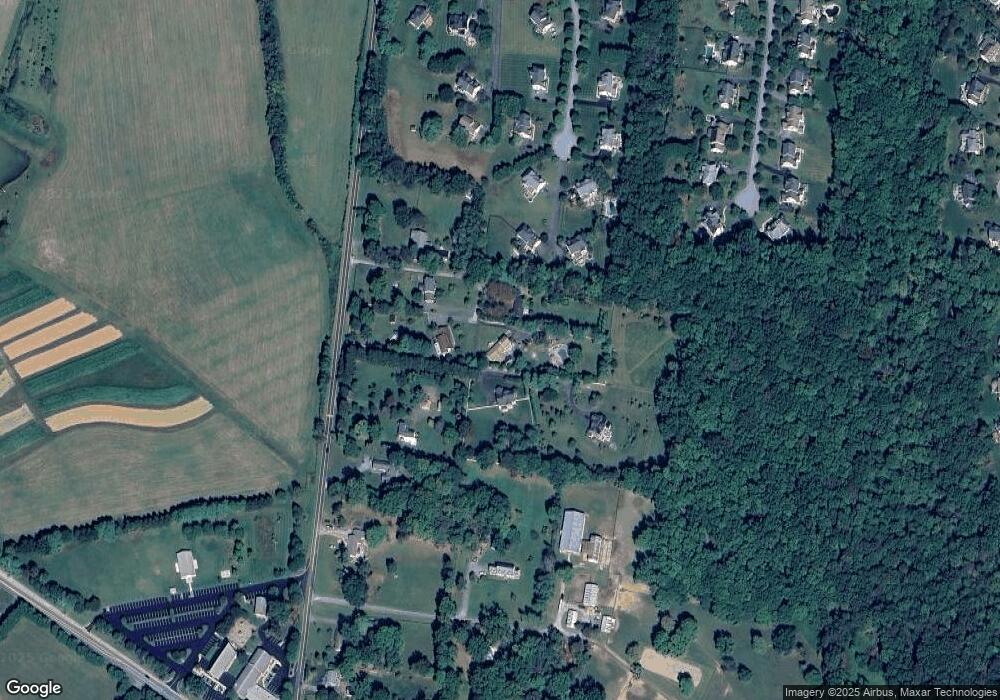
Map
Nearby Homes
- 7111 Brookshire Ln
- 12662 NE Route 216
- 12240 Pleasant Springs Ct
- 12216 Nicolar Dr
- 11740 Pindell Chase Dr
- 12200 Nicolar Dr
- 12206 Nicolar Dr
- 12210 Nicolar Dr
- 12182 Nicolar Dr
- 12176 Nicolar Dr
- 12174 Nicolar Dr
- 12194 Nicolar Dr
- 12152 Nicolar Dr
- 12155 Nicolar Dr
- 12153 Nicolar Dr
- 12850 Highland Rd
- 11846 Simpson Rd
- 7401 Pindell School Rd
- 12732 Lime Kiln Rd
- 6821 Koandah Gardens
- 7299 Browns Bridge Rd
- 7297 Browns Bridge Rd
- 7315 Browns Bridge Rd
- 7295 Browns Bridge Rd
- 7216 Downing Ct
- 7311 Browns Bridge Rd
- 7319 Browns Bridge Rd
- 7311 Browns Bridge Rd
- 7217 Downing Ct
- 7293 Browns Bridge Rd
- 7337 Browns Bridge Rd
- 7212 Downing Ct
- 7213 Downing Ct
- 7208 Downing Ct
- 7355 Browns Bridge Rd
- 7209 Downing Ct
- 7224 Wolverton Ct
- 7345 Browns Bridge Rd
- 7220 Wolverton Ct
- 7175 Moorland Dr
Your Personal Tour Guide
Ask me questions while you tour the home.