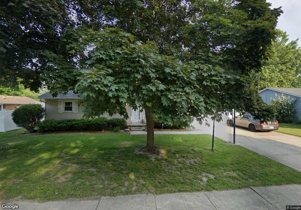
731 Robert Dr Bourbonnais, IL 60914
Estimated Value: $219,000 - $239,200
3
Beds
2
Baths
1,400
Sq Ft
$165/Sq Ft
Est. Value
About This Home
This home is located at 731 Robert Dr, Bourbonnais, IL 60914 and is currently estimated at $231,050, approximately $165 per square foot. 731 Robert Dr is a home located in Kankakee County with nearby schools including Shabbona Elementary School, Liberty Intermediate School, and Bourbonnais Upper Grade Center.
Ownership History
Date
Name
Owned For
Owner Type
Purchase Details
Closed on
Oct 11, 2012
Sold by
Nicks Tina L
Bought by
Thompson Brian M
Current Estimated Value
Home Financials for this Owner
Home Financials are based on the most recent Mortgage that was taken out on this home.
Original Mortgage
$92,000
Outstanding Balance
$62,517
Interest Rate
3.57%
Mortgage Type
New Conventional
Estimated Equity
$168,533
Create a Home Valuation Report for This Property
The Home Valuation Report is an in-depth analysis detailing your home's value as well as a comparison with similar homes in the area
Home Values in the Area
Average Home Value in this Area
Purchase History
We collect this data history from publicly available records. To have your information removed, we recommend requesting removal directly through your county’s website.
| Date | Buyer | Sale Price | Title Company |
|---|---|---|---|
| Thompson Brian M | $115,000 | Kankakee Cnty Title & Tr |
Source: Public Records
Mortgage History
We collect this data history from publicly available records. To have your information removed, we recommend requesting removal directly through your county’s website.
| Date | Status | Borrower | Loan Amount |
|---|---|---|---|
| Open | Thompson Brian M | $92,000 |
Source: Public Records
Tax History
| Year | Tax Paid | Tax Assessment Tax Assessment Total Assessment is a certain percentage of the fair market value that is determined by local assessors to be the total taxable value of land and additions on the property. | Land | Improvement |
|---|---|---|---|---|
| 2025 | $4,615 | $68,683 | $6,956 | $61,727 |
| 2024 | $4,615 | $61,726 | $6,562 | $55,164 |
| 2023 | $4,208 | $57,154 | $6,076 | $51,078 |
| 2022 | $4,208 | $55,088 | $5,856 | $49,232 |
| 2021 | $3,786 | $49,900 | $5,727 | $44,173 |
| 2020 | $3,634 | $47,313 | $5,574 | $41,739 |
| 2019 | $3,411 | $44,376 | $5,412 | $38,964 |
| 2018 | $3,191 | $41,790 | $5,332 | $36,458 |
| 2017 | $3,121 | $40,771 | $5,202 | $35,569 |
| 2016 | $3,029 | $39,821 | $5,125 | $34,696 |
| 2015 | $3,123 | $40,426 | $5,074 | $35,352 |
| 2014 | $2,882 | $39,077 | $5,074 | $34,003 |
| 2013 | -- | $40,426 | $5,074 | $35,352 |
Source: Public Records
Map
Nearby Homes
- 901 Edwin Dr
- 899 Armour Rd
- 260 W Country Ct
- 1355 N Arthur Burch Dr Unit F13
- 1355 N Arthur Burch Dr Unit R21
- 376 Belle Aire Ave
- 757 Burns Ct
- 209 Meadows Rd S
- 179 N Levasseur Ave
- 1325 N Arthur Burch Dr Unit B10
- 1325 N Arthur Burch Dr Unit C10
- 165 Belle Aire Ave
- 141 Pfitzer Dr
- 15 Hanson Dr
- Lot 5 Larry Power Rd
- 3 Duncan Dr
- 42 Hanson Dr
- 1552 Stefanie Ln
- 549 Juniper Ln
- 703 Heritage Dr
Your Personal Tour Guide
Ask me questions while you tour the home.