732 Maple Dr Webster, NY 14580
Estimated Value: $353,000 - $443,849
4
Beds
3
Baths
2,578
Sq Ft
$159/Sq Ft
Est. Value
About This Home
This home is located at 732 Maple Dr, Webster, NY 14580 and is currently estimated at $410,712, approximately $159 per square foot. 732 Maple Dr is a home located in Monroe County with nearby schools including DeWitt Road Elementary School, Willink Middle School, and Thomas High School.
Ownership History
Date
Name
Owned For
Owner Type
Purchase Details
Closed on
Dec 29, 2016
Sold by
Jagusiak John M and Jagusiak Linda J
Bought by
Gillette Jeffrey and Gillette Colleen E
Current Estimated Value
Home Financials for this Owner
Home Financials are based on the most recent Mortgage that was taken out on this home.
Original Mortgage
$168,000
Outstanding Balance
$136,799
Interest Rate
4.3%
Mortgage Type
New Conventional
Estimated Equity
$273,913
Create a Home Valuation Report for This Property
The Home Valuation Report is an in-depth analysis detailing your home's value as well as a comparison with similar homes in the area
Home Values in the Area
Average Home Value in this Area
Purchase History
| Date | Buyer | Sale Price | Title Company |
|---|---|---|---|
| Gillette Jeffrey | $210,000 | Chicago Title Insurance Co |
Source: Public Records
Mortgage History
| Date | Status | Borrower | Loan Amount |
|---|---|---|---|
| Open | Gillette Jeffrey | $168,000 |
Source: Public Records
Tax History
| Year | Tax Paid | Tax Assessment Tax Assessment Total Assessment is a certain percentage of the fair market value that is determined by local assessors to be the total taxable value of land and additions on the property. | Land | Improvement |
|---|---|---|---|---|
| 2024 | $7,910 | $169,400 | $36,100 | $133,300 |
| 2023 | $7,683 | $169,400 | $36,100 | $133,300 |
| 2022 | $7,615 | $169,400 | $36,100 | $133,300 |
| 2021 | $7,540 | $169,400 | $36,100 | $133,300 |
| 2020 | $7,415 | $169,400 | $36,100 | $133,300 |
| 2019 | $494 | $169,400 | $36,100 | $133,300 |
| 2018 | $7,103 | $169,400 | $36,100 | $133,300 |
| 2017 | $6,095 | $169,400 | $36,100 | $133,300 |
| 2016 | $6,146 | $169,400 | $36,100 | $133,300 |
| 2015 | -- | $169,400 | $36,100 | $133,300 |
| 2014 | -- | $169,400 | $36,100 | $133,300 |
Source: Public Records
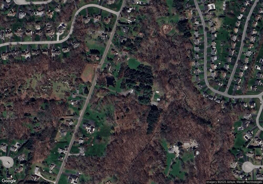
Map
Nearby Homes
- 621 Brookstone Bend
- 763 Maple Dr
- Lot #30 Maple Dr
- 658 Regina Dr
- 681 Northbrook Way
- 436 Thrushwood Ln
- 545 Wahlmont Dr
- 731 Dewitt Rd
- 826 Independence Dr
- 816 Klem Rd
- 601 Notre Dame Dr
- 488 Covewood Blvd
- 965 Danby Dr
- 430 Sundance Trail
- 527 Vosburg Rd
- 453 Pheasant Run
- 109 Tanglewood Ct
- 492 Ridge Rd
- 489 Lakeview Terrace
- 595 Lake Rd
Your Personal Tour Guide
Ask me questions while you tour the home.